GISCARTA – is your corporate geoportal

Modern technologies for working with spatial data

GISCARTA helps to solve business problems
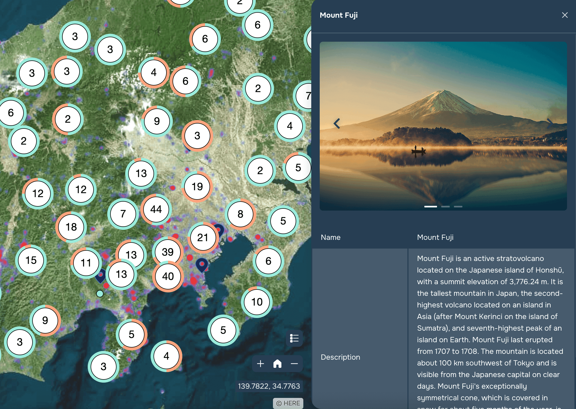
Land, assets and equipment management
A geodata showcase for commercialisation
Optimisation of logistics tasks
Displaying and managing risks
Geomarketing and competitive analyses
Infrastructure design
Digital twin of businesses and infrastructure
Enabling business processes with a geodatabase
Usability

Usability #1

Geodata shop

Commercialise spatial data and mapping information by providing access through the GISCARTA platform deployed in your company

  • 1
    Upload your data to the platform server: GISCARTA works with all major formats
  • 2
    Collect interactive maps with commercially relevant information: fragment it as you see fit
  • 3
    Customise functionality and download capability
  • 4
    Provide free or paid access to a showcase of geodata
  • 5
    Generate additional income or promote your main business

Usability #2

Unified server storage of spatial information

GISCARTA will bring order to data and projects, increasing both collaboration within the team and with partners and clients.

  • 1
    Visualisation of large data sets: urban development, commercial objects, infrastructure, ecology
  • 2
    Easily download and store any type of geodata: from building plans to satellite images and orthophotos
  • 3
    All layers and projects are collected on your server, not by employee computers
  • 4
    Retrieving data from OSM using an AI-based solution
  • 5
    The WOW effect of functional interactive maps on the big screen

Usability #3

Displaying modelling or monitoring results

If you have models that result in predicting changes in the earth's surface or are monitoring various indicators, visualise them on GISCARTA

  • 1
    Flexible customisation of visualisations and filters
  • 2
    Possibility of demonstration on a timeline
  • 3
    Automatic uploading of modelling results to a geoportal: rapid prediction of negative impacts
  • 4
    Integration of any associated spatial information

Usability #4

Digital twin of infrastructure objects

You can create a digital twin with integration of any internal databases and see a complete picture of your production infrastructure, with the possibility to quickly download all technical documentation or display parameters.

  • 1
    Unified visual GIS for working with information - objects are linked to information from databases
  • 2
    Accelerating employee training: visual linking of production infrastructure on the map and in databases
  • 3
    Ability to analyse data and find options to optimise operating costs
  • 4
    An opportunity to offload your employees
  • 5
    Reduced response time in the event of equipment failure or an emergency

GISCARTA is already being used

in a variety of industries

Urban planning solutions
Interactive map with service areas for geomarketing
Interactive map with earthquakes
Agriculture and Forestry info
You save time and money
We take on the tasks of individual employees and even departments
Backend and Frontend developers
who develop web mapping applications: you get a finished product
GIS department
which prepares data, creates and customises projects in geographic information systems: any employee can now do this
UI/UX designers
who style web applications and maps: modern interface and frontend in your geoportal
How does the platform work?
  • System installation on client servers
  • Unlimited number of users
  • Work entirely through a web browser on all devices within your company
  • Role-based access model
  • Use of both internal and external sources of information: connection of external databases
  • Single node for accumulation and exchange of information between employees
  • Modular development. Possibility of operational expansion of functionality, integration of additional tools
  • Widgets for working with spatial data: from transport accessibility zones, to heat maps and relief profile
WHY GISCARTA
Profitable
  • No licence fees - we install the system on your premises forever
  • No restrictions on the number of users or workstations
Comfortable
  • Professional and prompt technical support and updates
  • Possibilities to customise functionality to meet your needs
Up-to-date
  • Intelligent interface and up-to-date design
  • Advanced solutions for the speed of data display on the map
Flexible
  • Any business area where geodata is available
  • Connect external databases and transfer information to the map in real time
GISCARTA – a platform that will help improve the efficiency of your business
This website uses cookies to ensure you get the best experience
OK