Este widget permite al creador de la aplicación crear nuevas capas y añadirlas automáticamente a las fuentes de datos y al mapa.
Las capas pueden ser de 3 tipos:
Punto
Polilínea
Polígono
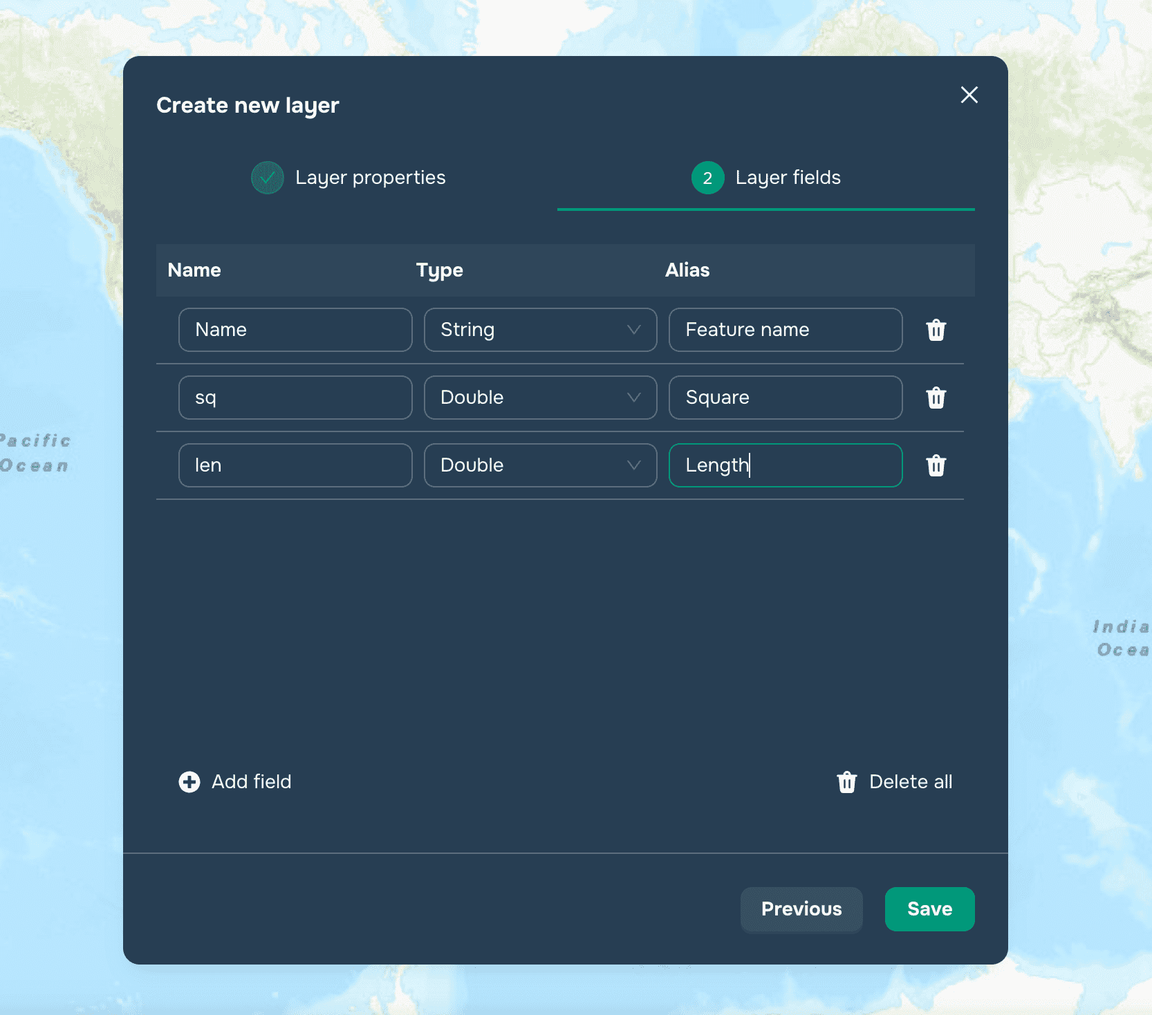
Para crear una nueva capa, el usuario necesita hacer clic en el botón Nueva Capa en la parte superior del panel lateral de Capas. Después de esto, al usuario se le mostrará una ventana modal con los parámetros de la futura capa. En el primer paso, el usuario necesita seleccionar el tipo de geometría de la capa, nombre, descripción y etiquetas y hacer clic en Siguiente.

En el segundo paso, necesitas crear atributos de la futura capa con tipos y alias y hacer clic en el botón Guardar.
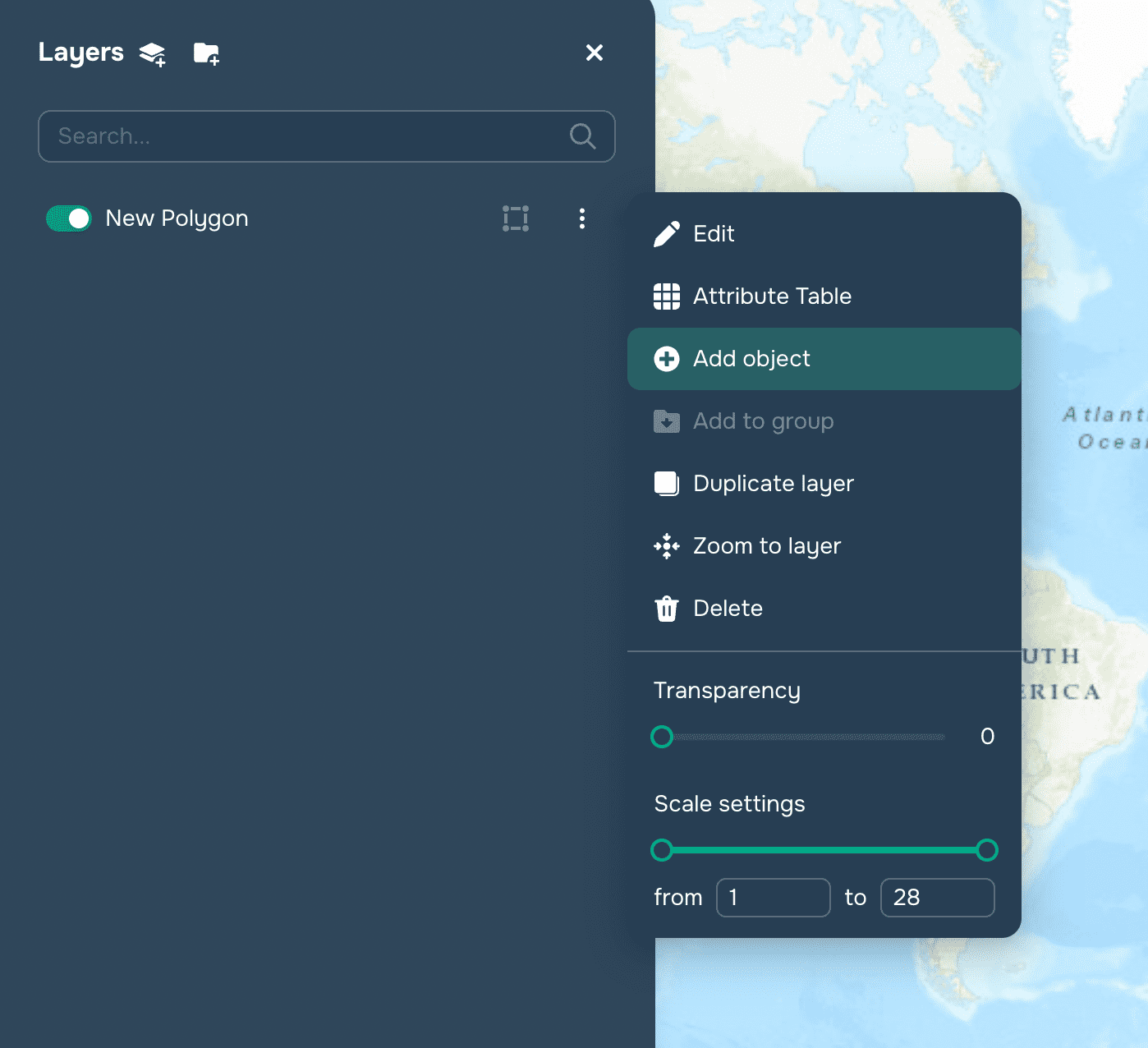
Después de esto, la capa será creada exitosamente y añadida al mapa. El usuario solo tendrá que llenarla con características a través del menú Agregar objeto.

La creación de capas puede ser utilizada para áreas como:
Estudios ambientales
Planificación urbana
Construcción
Agricultura
Minería
Geología
Hidrología
Estudios de estudiantes
Análisis de transporte
7 ene 2024


