
Los datos hidrológicos sustentan el análisis de los recursos hídricos, la evaluación de inundaciones y el estudio de los procesos naturales. En SIG, se utilizan en una variedad de aplicaciones, desde el modelado de cuencas fluviales hasta la planificación de infraestructuras y la monitorización ambiental.
El principal desafío normalmente no es encontrar los datos, sino elegir la fuente adecuada. Un conjunto es más apropiado para la monitorización operativa, otro para el análisis de décadas y un tercero para los cálculos y los modelos.
Monitoreo de procesos hídricos
Cuando se trata de inundaciones y condiciones que cambian rápidamente, la información actualizada es esencial.
El Servicio de Gestión de Emergencias de Copernicus proporciona mapas y datos para el monitoreo de inundaciones y emergencias. Estos materiales son utilizados activamente por las agencias de respuesta y los organismos de gestión.

Datos de Agua del USGS proporciona acceso a observaciones en tiempo real del nivel del agua y del caudal de los ríos. Aunque los datos son principalmente de EE. UU., es una de las fuentes más fiables de mediciones en tierra.
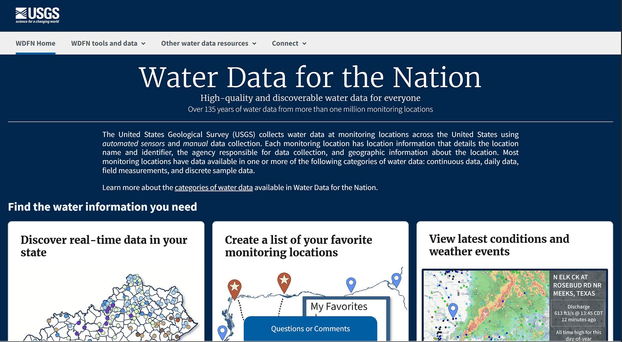
Estos datos son adecuados para el análisis operativo y la evaluación de la situación.
Observaciones a largo plazo
Las bases de datos observacionales globales se utilizan para tareas relacionadas con el análisis de los cambios a lo largo del tiempo.
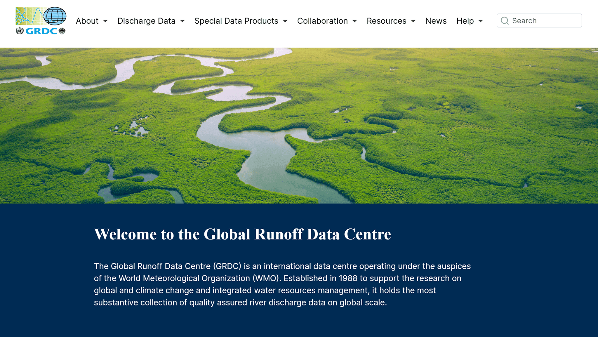
El Centro de Datos de Escorrentía Global (GRDC) contiene series de datos de caudal de varios años procedentes de estaciones de todo el mundo. Estos datos permiten hacer seguimiento de los cambios y comparar distintas regiones.
GSIM (Índices y Metadatos Globales de Caudal de Ríos) proporciona indicadores agregados y metadatos que resultan convenientes para estudios científicos y comparativos.
Estas fuentes ayudan a comprender cómo cambian los procesos hidrológicos a lo largo de intervalos de tiempo prolongados.
Modelado y análisis de la red hidrográfica
Para la construcción de modelos, no solo son importantes las observaciones, sino también la estructura del terreno.
HydroSHEDS se utiliza para analizar cuencas de drenaje, redes fluviales y direcciones de flujo. Los datos se basan en modelos digitales de elevación y son muy adecuados para el análisis espacial.
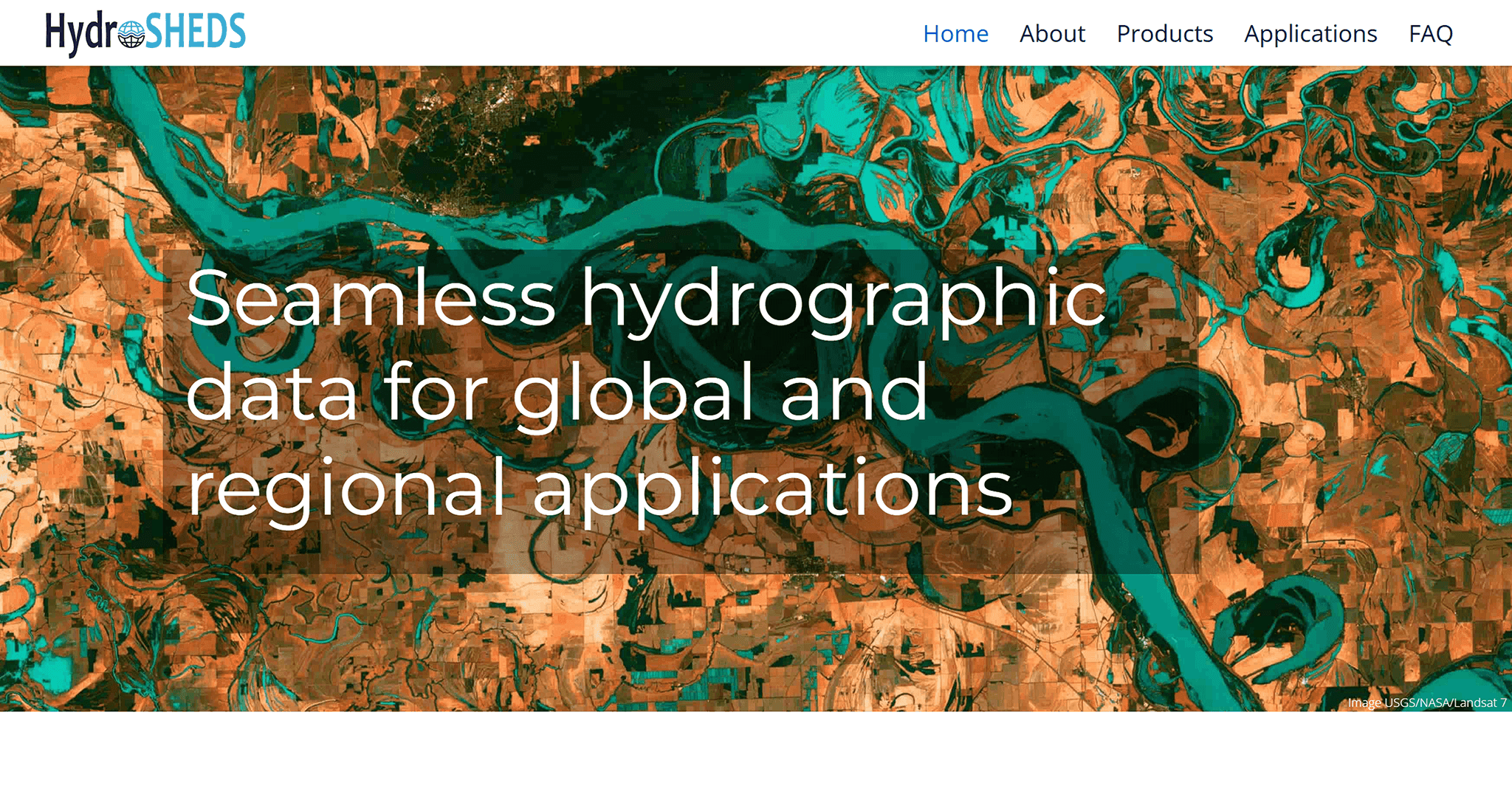
Pueden utilizarse para:
identificar cuencas
analizar direcciones de flujo
construir modelos hidrológicos
Datos climáticos para la hidrología
Los procesos hidrológicos están directamente vinculados al clima. Para los cálculos y el modelado se requieren datos de precipitación y evaporación.
ERA5 proporciona estos datos en forma de series temporales coherentes. Este conjunto de datos se utiliza con frecuencia en estudios climáticos y de balance hídrico.
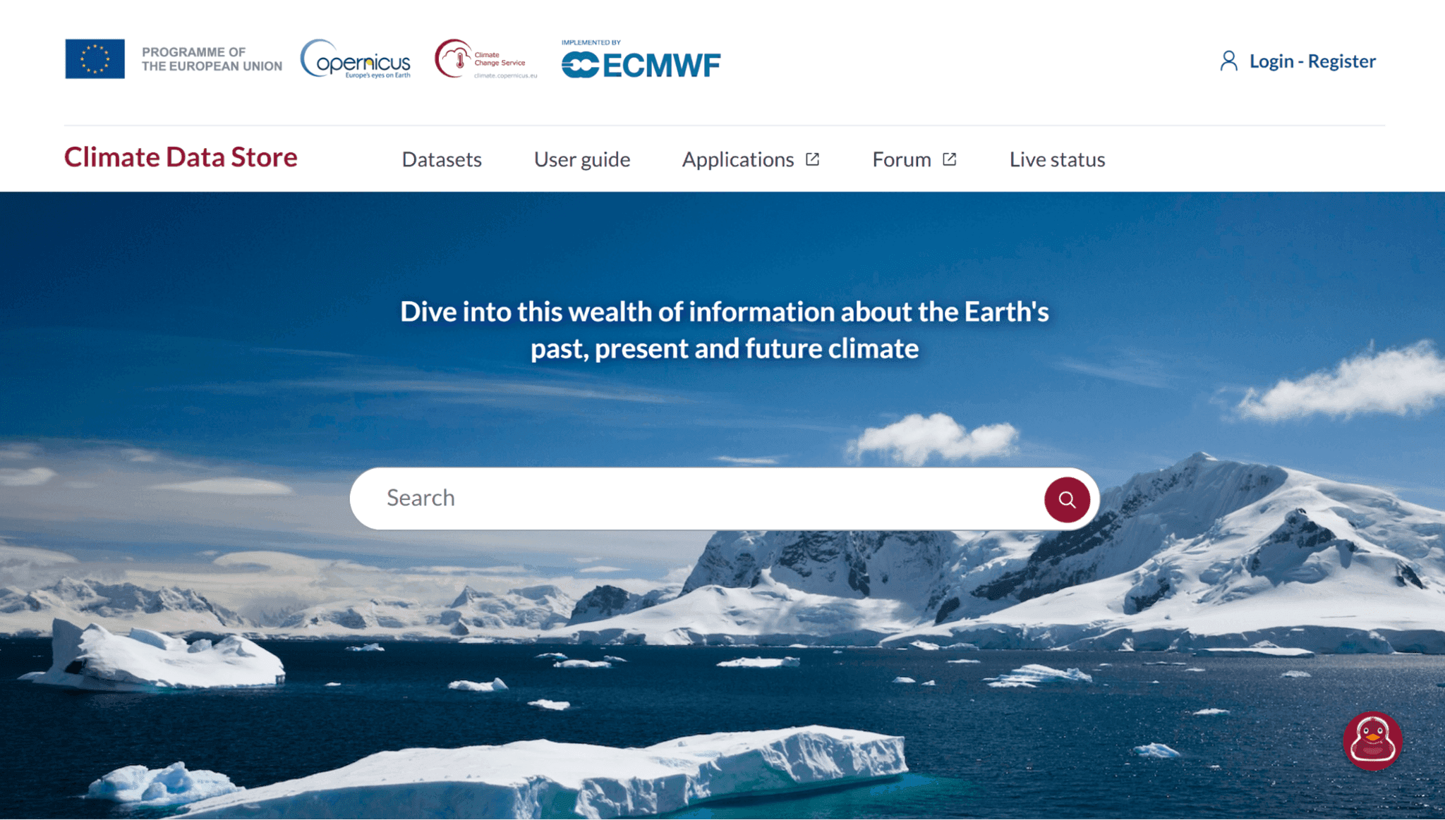
Es adecuado para tareas en las que es importante considerar la influencia del clima en la hidrología.
Combinación de fuentes
En la práctica, rara vez se utiliza una sola fuente de datos. Lo más habitual es una combinación de:
observaciones de estaciones
geodatos derivados
parámetros climáticos
Este enfoque ofrece resultados más coherentes y permite tener en cuenta diversos aspectos del proceso.
Tabla comparativa de fuentes de datos hidrológicos
Fuente | Tipo de datos | Cobertura espacial | Casos de uso típicos | Ventajas | Limitaciones |
Datos de Agua del USGS | Observaciones (estaciones de aforo) | EE. UU. | Monitoreo del nivel del agua y del caudal de los ríos | Alta precisión, datos en tiempo real | Limitado a EE. UU. |
GRDC | Observaciones (estaciones de aforo) | Global | Análisis del caudal del río | Series temporales a largo plazo | Cobertura espacial desigual |
GSIM | Índices derivados | Global | Estudios hidrológicos comparativos | Indicadores estandarizados | Menos detallado que los datos brutos |
HydroSHEDS | Datos geoespaciales derivados | Global | Modelado de cuencas y flujos | Base sólida para el análisis espacial | Sin observaciones directas |
ERA5 | Modelo climático / reanálisis | Global | Modelado hidrológico y climático | Cobertura completa, datos consistentes | Basado en modelos, no en mediciones directas |
Copernicus EMS | Datos operativos | Global | Monitoreo de inundaciones y respuesta de emergencia | Datos actualizados para eventos críticos | Enfocado en escenarios de emergencia |
Preguntas frecuentes
¿Qué datos son mejores para el modelado de cuencas fluviales?
Para este tipo de tareas, normalmente se utiliza HydroSHEDS como base, complementado con datos climáticos (por ejemplo, ERA5) y observaciones.
¿Se puede utilizar una sola fuente de datos?
En la práctica, esto rara vez produce resultados precisos. Normalmente, se combinan observaciones, modelos y datos derivados.
¿Cuál es la diferencia entre observaciones y datos de modelos?
Las observaciones se obtienen directamente de las estaciones, mientras que los datos de modelos se calculan a partir de modelos matemáticos y se utilizan para cubrir grandes áreas.
Conclusiones clave
Diferentes fuentes de datos hidrológicos responden a distintas necesidades, desde la monitorización hasta el modelado.
Las observaciones, los modelos y los datos derivados se complementan entre sí y proporcionan una imagen más completa.
La elección de la fuente depende de la escala del análisis y de la disponibilidad de datos para una región concreta.


