
Fuentes abiertas de datos de relieve
Los datos de elevación en SIG suelen representarse como modelos digitales de elevación. Estos datos se distribuyen con mayor frecuencia en formato ráster (GeoTIFF), donde cada celda contiene un valor de elevación sobre el nivel del mar. Existen varios tipos de modelos de elevación:
DEM (Modelo Digital de Elevación) es un término general para los modelos digitales de elevación que pueden incluir diferentes enfoques de representación de la superficie.
DSM (Modelo Digital de Superficie) representa la elevación de todos los objetos en la superficie, incluidos edificios, vegetación e infraestructura.
DTM (Modelo Digital del Terreno) describe la superficie del terreno desnudo sin objetos elevados y se utiliza con mayor frecuencia para análisis hidrológico, modelado de pendientes y cálculos de ingeniería.
¿Dónde empezar a buscar datos de elevación?
Al buscar datos abiertos de modelado de elevación (DEM), es lógico comenzar con portales y agregadores principales. Permiten explorar conjuntos de datos disponibles en un solo lugar, compararlos por resolución, cobertura y tipo, y comprender rápidamente qué fuentes son adecuadas para una tarea específica.
En la primera etapa, es importante definir varios parámetros clave:
Resolución espacial requerida;
Cobertura territorial;
Tipo de datos (DSM o DTM);
Restricciones de licencia y condiciones de uso.
Portales de acceso y agregadores de datos
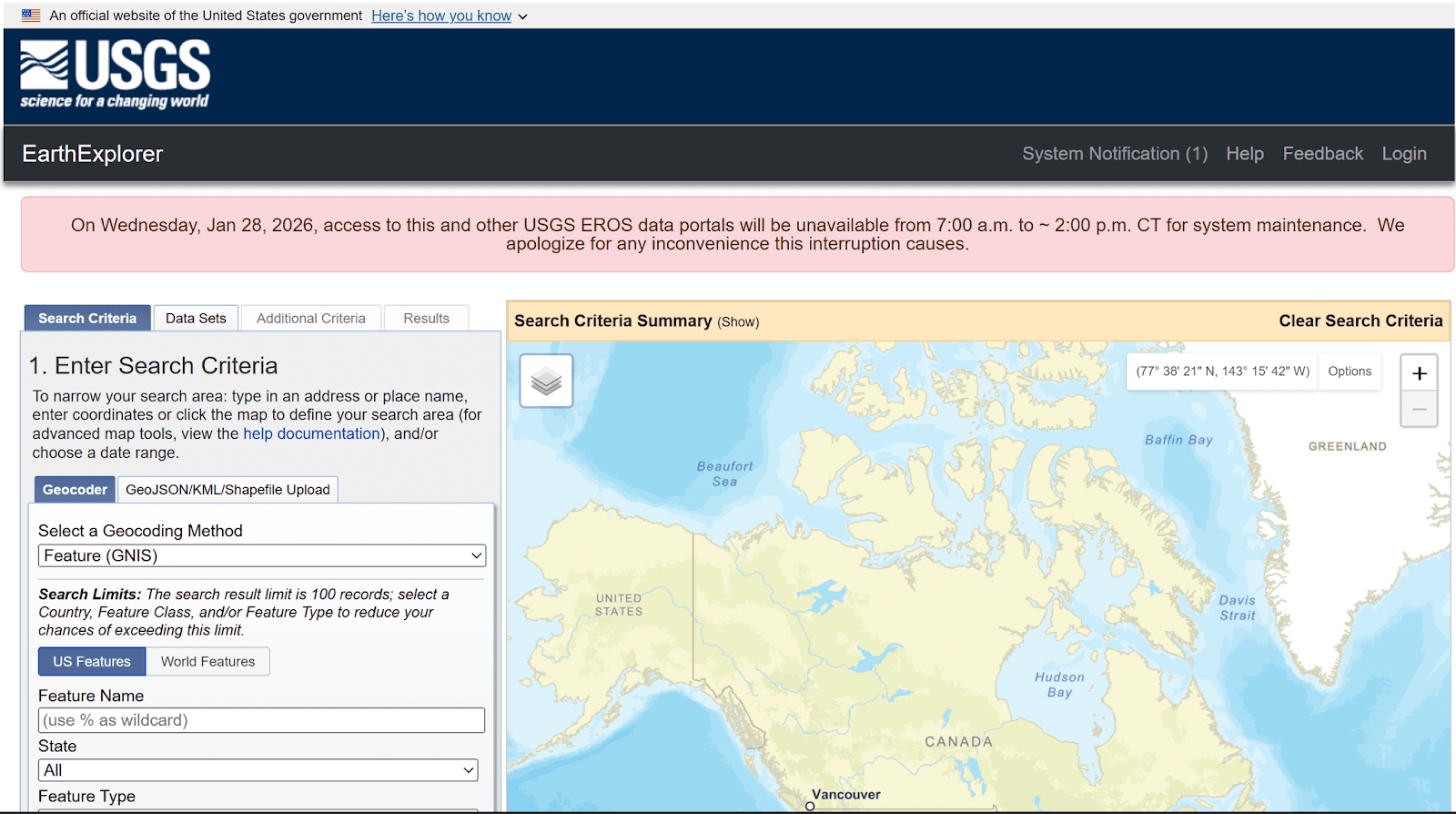
USGS EarthExplorer es un portal central para descubrir y descargar conjuntos de datos de relieve globales y regionales.
Adecuado para: búsqueda y descarga de datos de elevación globales y regionales.
EarthExplorer es uno de los principales portales para acceder a SRTM, ASTER, GMTED y otros conjuntos de datos. Permite filtrar los datos por región, tipo y otros parámetros.
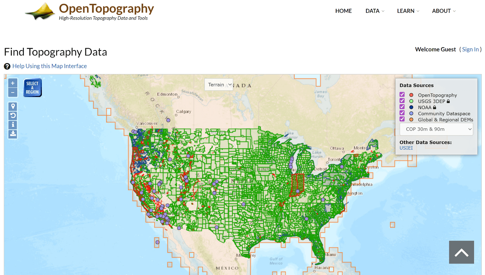
OpenTopography proporciona datos de relieve y LiDAR de alta resolución para estudios científicos y aplicados.
Adecuado para: datos DEM y LiDAR de alto detalle.
OpenTopography proporciona acceso a datos LiDAR y modelos de terreno de alta precisión para regiones específicas.
Conjuntos de datos globales abiertos de terreno
SRTM (Shuttle Radar Topography Mission)
Adecuado para: proyectos globales y regionales
SRTM es uno de los conjuntos de datos abiertos de elevación más populares, con cobertura casi global y una resolución de aproximadamente 30 m. Se utiliza ampliamente para análisis hidrológico, modelado del terreno y análisis espacial, pero tiene limitaciones en áreas montañosas y urbanizadas.
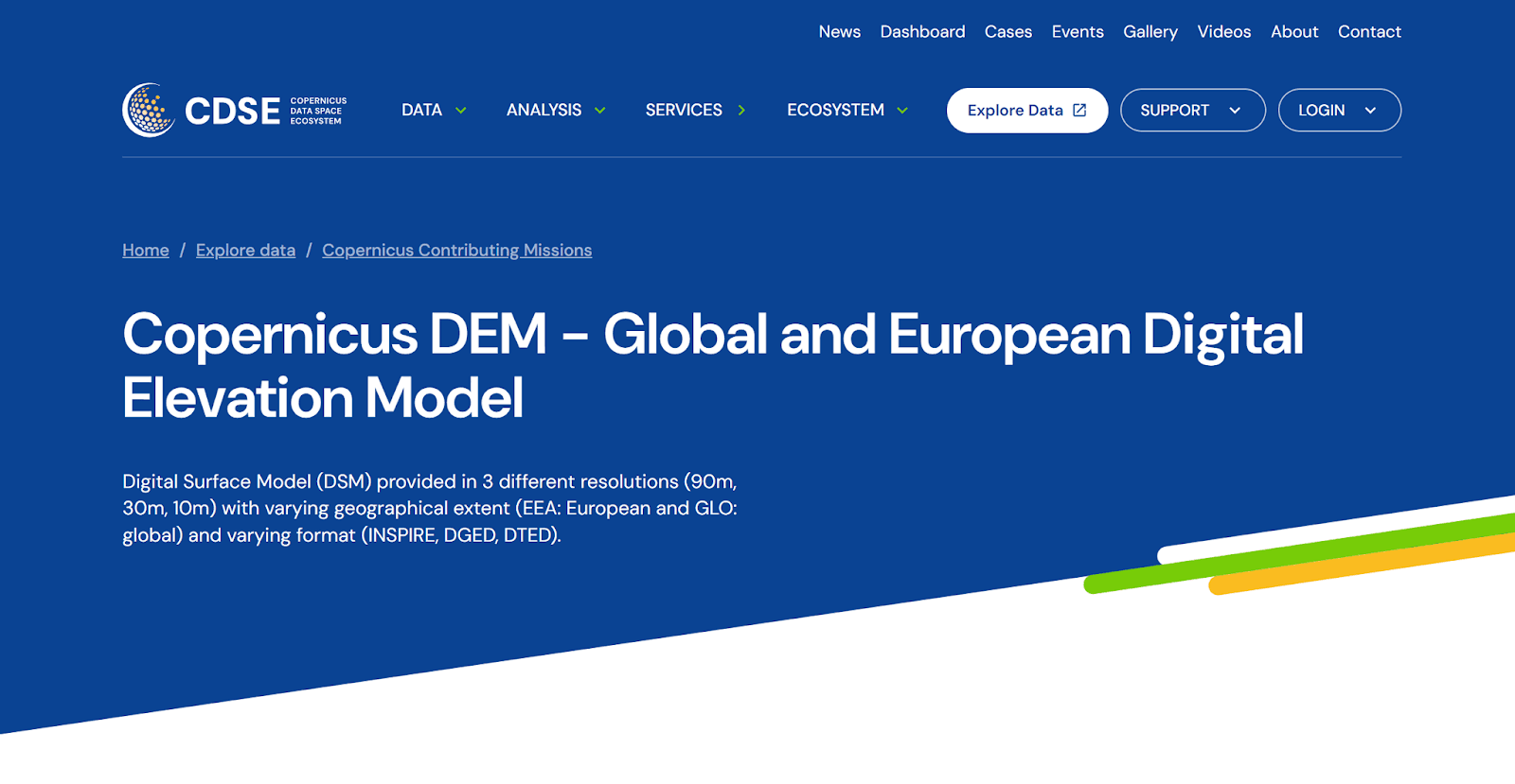
Copernicus DEM representa un modelo global de relieve para análisis ambiental y territorial.
Adecuado para: proyectos regionales y nacionales
Copernicus DEM ofrece mayor precisión que SRTM y está disponible en resoluciones de 30 y 10 m. Se utiliza con frecuencia en estudios ambientales, análisis de uso del suelo y monitoreo ambiental.
Adecuado para: estudios globales
ASTER GDEM proporciona cobertura global, pero es más ruidoso y contiene artefactos. Recomendado para análisis preliminar y fines de investigación.
Adecuado para: cartografía y visualización a pequeña escala
GMTED2010 es un conjunto de datos globales de terreno generalizado diseñado para tareas en las que no se requiere alto detalle.
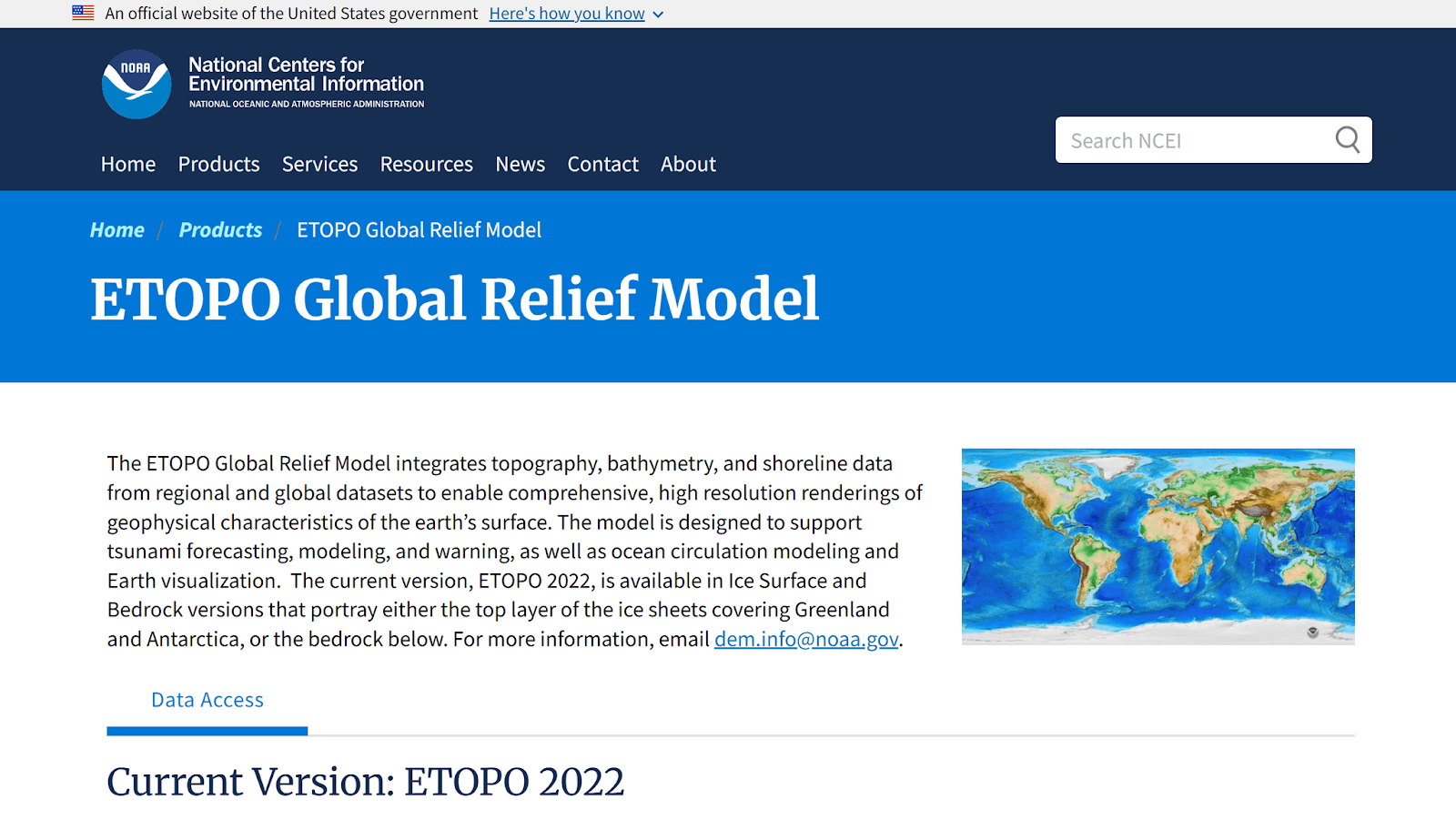
ETOPO combina el relieve terrestre y del fondo marino en un único modelo global.
Adecuado para: modelos globales de elevación terrestre y oceánica
ETOPO es un modelo digital global de elevación que integra datos de elevación terrestre y batimetría oceánica. Se utiliza con frecuencia en estudios globales y de reconocimiento, modelado de procesos naturales y visualización.
Adecuado para: análisis hidrológico y ambiental
MERIT DEM es un modelo global de elevación mejorado, basado en SRTM y otras fuentes, con errores y artefactos reducidos. Se utiliza ampliamente en estudios hidrológicos y climáticos.
Global Ensemble Digital Terrain Model 30m (GEDTM30)
Adecuado para: análisis global del terreno con mayor robustez frente a errores
GEDTM30 es un modelo de terreno de conjunto con resolución de 30 metros que combina múltiples DEM globales para mejorar la precisión y reducir errores sistemáticos.
Adecuado para: análisis global del terreno con mayor precisión
NASADEM es una versión reprocesada de SRTM, creada por la NASA usando datos adicionales y algoritmos modernos de procesamiento. En comparación con el SRTM original, ofrece un rendimiento superior en condiciones de terreno complejas.
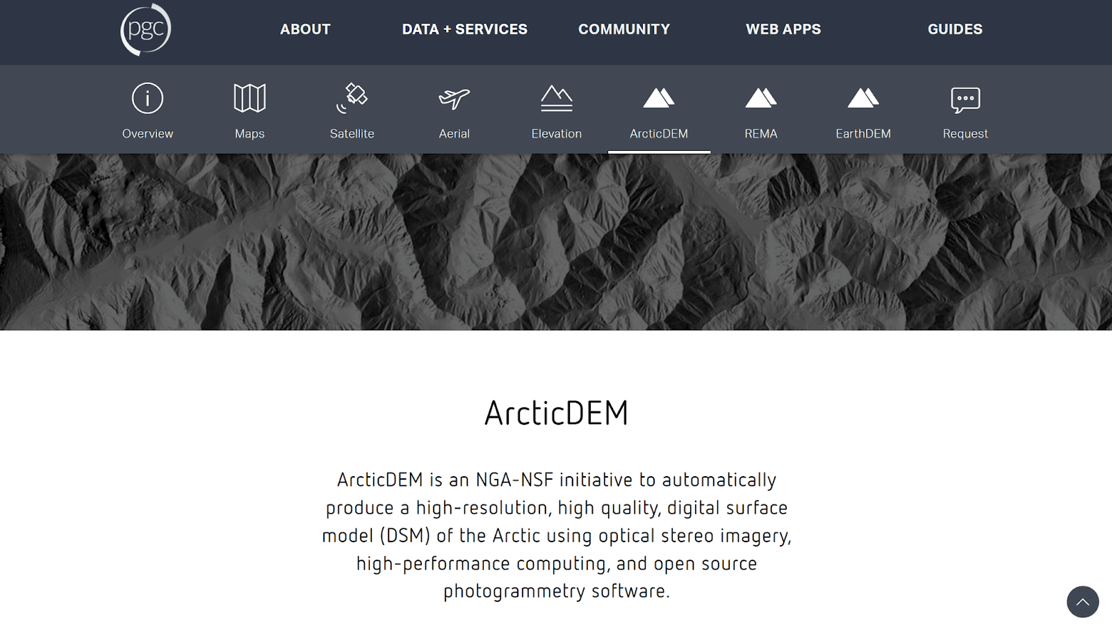
ArcticDEM ofrece datos de relieve detallados para regiones árticas y de altas latitudes.
Adecuado para: análisis detallado del relieve de regiones árticas
ArcticDEM es un modelo de relieve de gran detalle para latitudes del norte, creado con imágenes satelitales estereoscópicas. Se utiliza ampliamente en estudios criosféricos, climáticos y geomorfológicos.
Fuentes regionales y nacionales
Para proyectos donde la alta precisión es esencial, se deben consultar geoportales regionales y nacionales. Muchos países publican datos DEM y LiDAR de alta resolución, lo cual es especialmente valioso para estudios urbanos, modelado de inundaciones y proyectos de infraestructura. La principal limitación de estos datos es su cobertura geográfica limitada.
Tabla comparativa de las principales fuentes abiertas de datos de relieve
Fuente abierta | Resolución de píxel | Limitaciones |
SRTM | 30 m | Errores en montañas y ciudades, ruido de fondo |
Copernicus DEM | 10-30 m | Gran volumen de datos |
ASTER GDEM | 30 m | Ruido y artefactos |
GMTED2010 | 250 m | Muy bajo detalle |
ETOPO | 30-60 m | Bajo detalle a nivel local |
MERIT DEM | 90 m | Detalle limitado |
GEDTM30 | 30 m | Gran volumen de datos |
NASADEM | 30 m | Limitaciones heredadas de SRTM |
ArcticDEM | 30 m | Limitado por la geografía del Ártico |
Conclusiones clave
Elegir entre DSM y DTM es fundamental para un análisis preciso. Los DSM representan superficies con objetos, mientras que los DTM representan terreno "puro", y mezclarlos conduce a resultados erróneos.
Los DEM globales son adecuados para la mayoría de las tareas generales y regionales, pero los proyectos urbanos y de ingeniería a menudo requieren datos regionales o de nivel LiDAR.
La calidad y resolución de los DEM deben ser coherentes con la escala de la tarea, no con las características máximas disponibles.
Modelos mejorados y de conjunto: MERIT DEM, GEDTM30 reducen errores sistemáticos, especialmente en estudios hidrológicos y naturales.
Preguntas frecuentes
¿Dónde comienzo a buscar datos de terreno?
Comienza con portales globales como USGS EarthExplorer y OpenTopography.
¿Los DEM abiertos son adecuados para análisis?
Sí, entendiendo sus limitaciones y calidad.
¿Cuándo se necesitan datos regionales o LiDAR?
Para proyectos urbanos, de ingeniería y de alta precisión.


