
Los datos geológicos son la base de la investigación científica, la evaluación de recursos naturales, los estudios de ingeniería y la gestión de riesgos. Tradicionalmente, los materiales geológicos se almacenaban en archivos en papel, pero las tecnologías digitales también han tomado el control en este ámbito. Las bases de datos y las colecciones geológicas estatales permiten recuperar datos espaciales, mapas, informes y metadatos sin necesidad de visitar físicamente los archivos. Esto los hace indispensables para geólogos profesionales, estudiantes, organizaciones de investigación y planificadores territoriales.
Fuentes clave de datos geológicos
OneGeology
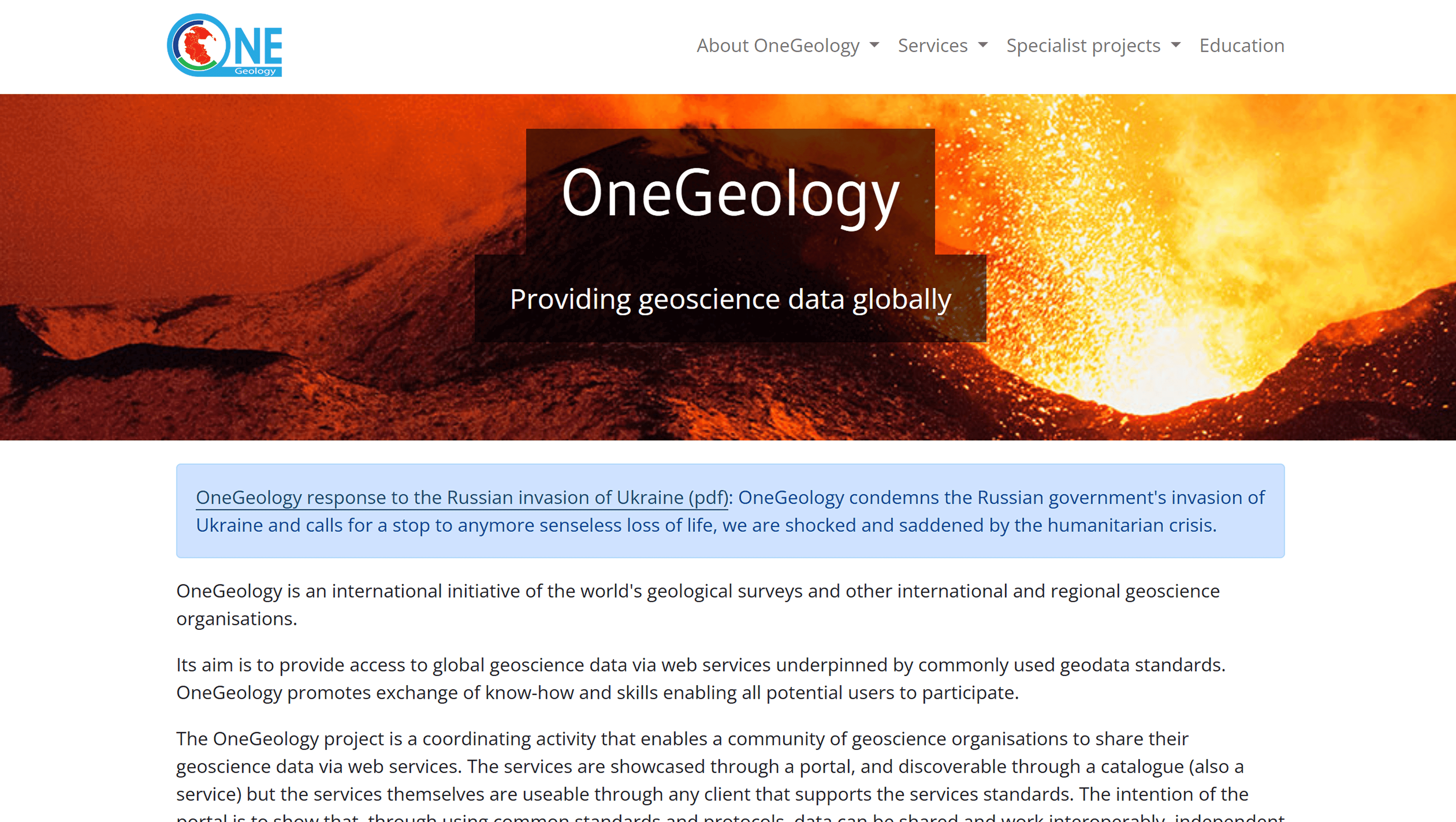
Un portal internacional en línea que reúne mapas geológicos digitales de muchos países de todo el mundo.
El portal proporciona acceso a mapas y servicios cartográficos mediante estándares OGC (WMS/WFS), lo que simplifica la integración con sistemas SIG. Está enfocado en el intercambio de datos entre servicios geológicos nacionales y ofrece acceso gratuito a numerosas capas geológicas y datos cartográficos.
Base de Datos Nacional de Mapas Geológicos del USGS
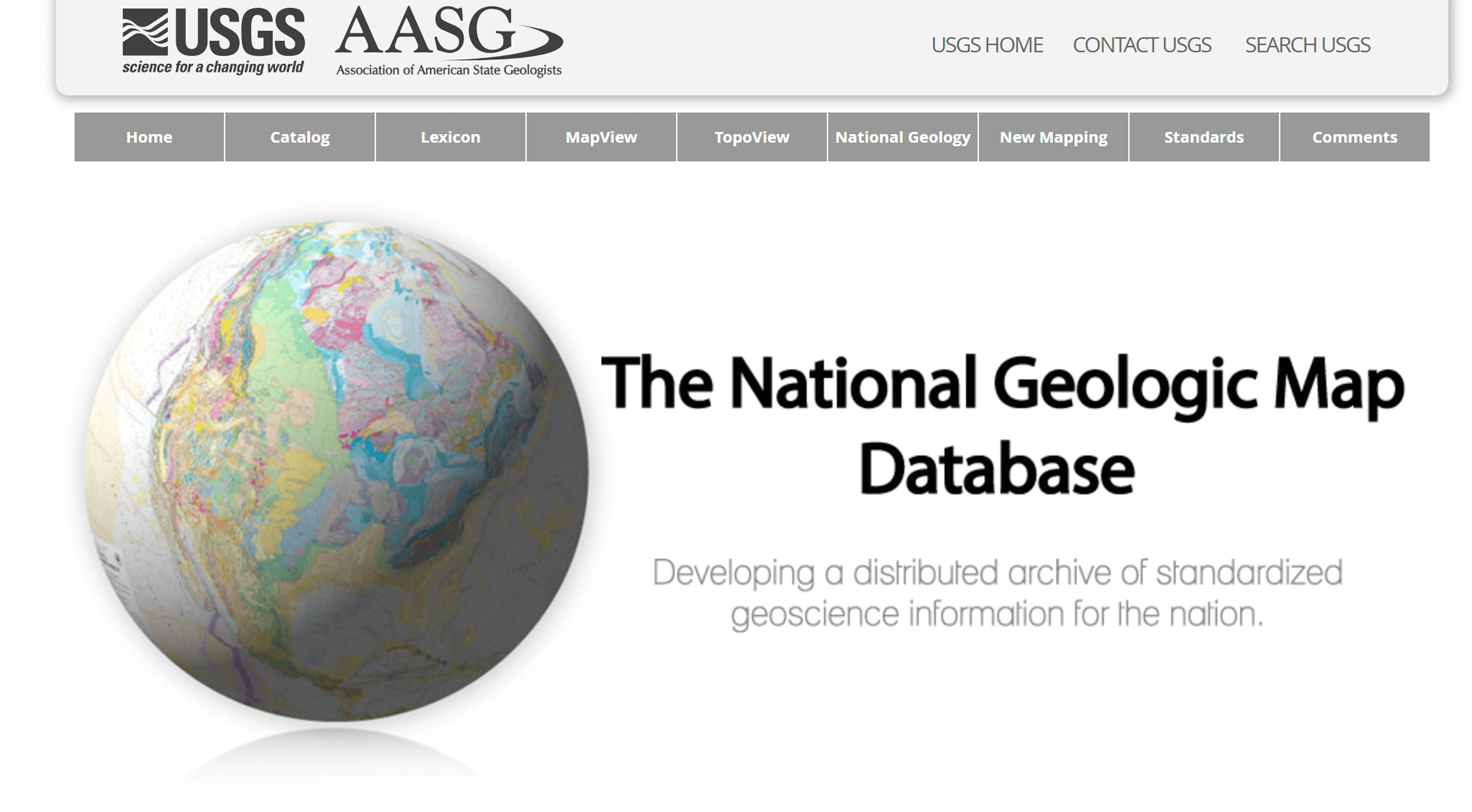
La mayor colección digital de mapas geológicos y publicaciones del Servicio Geológico de los Estados Unidos (USGS).
La base de datos contiene decenas de miles de mapas, informes y materiales relacionados, disponibles para visualización y descarga gratuitas. Cubre una amplia gama de temas geológicos, desde litología y estratigrafía hasta información sobre recursos naturales.
Datos Geoespaciales del USGS
Ofrece conjuntos de datos geoespaciales, incluidos modelos digitales de elevación, capas topográficas, hidrografía, datos minerales y peligros naturales. Estos conjuntos de datos se suministran en formatos SIG estándar (GeoTIFF, Shapefile) y se utilizan para visualización y análisis en un entorno SIG.
BRGM InfoTerre (Francia)
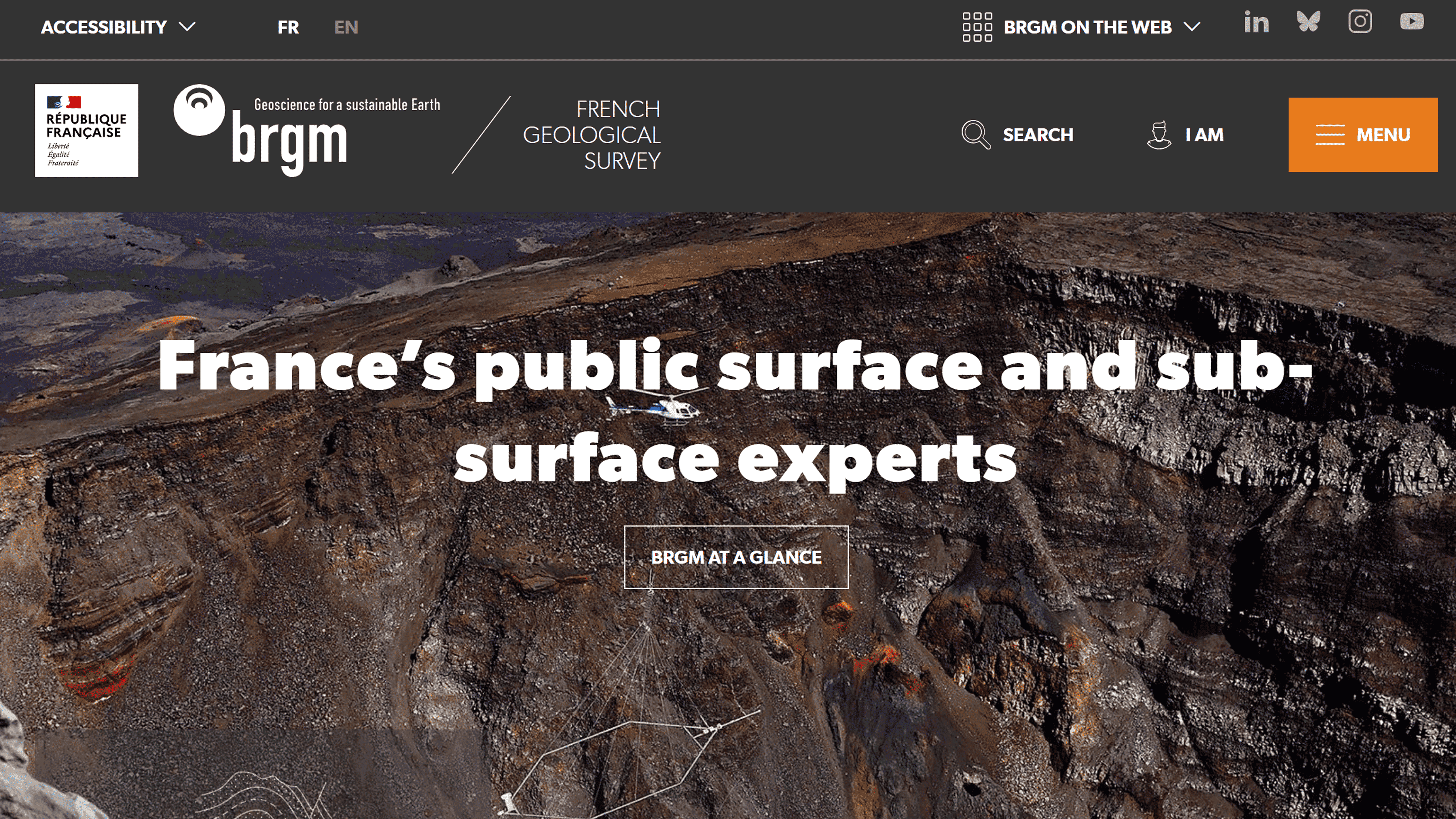
El portal web del Servicio Geológico Francés (BRGM)
Proporciona acceso gratuito a datos geológicos, incluidos mapas geológicos digitales, bases de datos del subsuelo, mapas de peligros y mapas de aguas subterráneas. Los usuarios pueden ver mapas, descargar datos e integrarlos con otros sistemas mediante servicios web estandarizados.
BGS OpenGeoscience (Reino Unido)
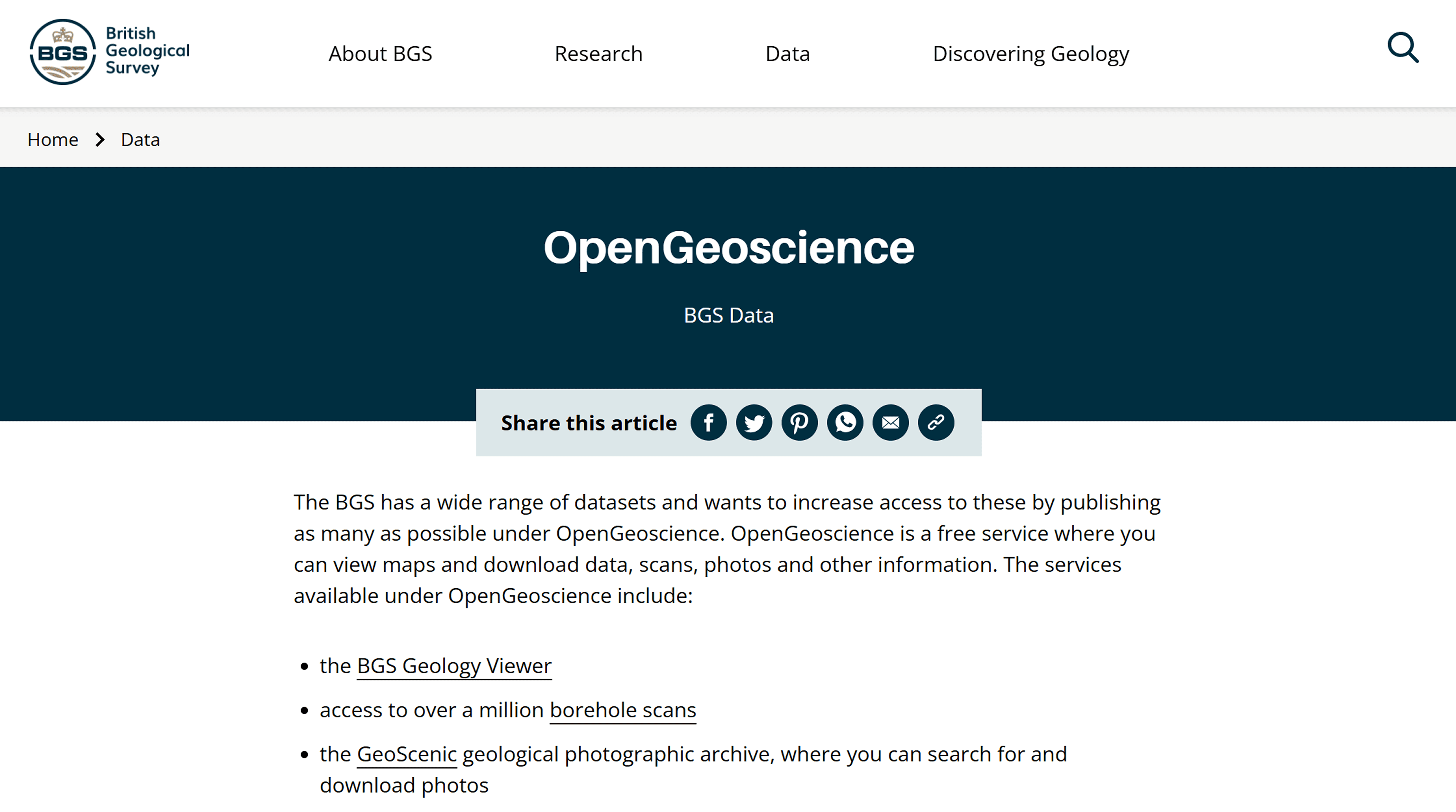
Un proyecto del Servicio Geológico Británico (BGS).
Ofrece acceso a un millón de registros: mapas digitales, registros de perforación escaneados, fotografías y publicaciones de archivo. Los materiales se publican bajo licencias abiertas y están disponibles para descarga, visualización en mapas web e integración mediante API.
Geoportal GEOLOGIA (Polonia)
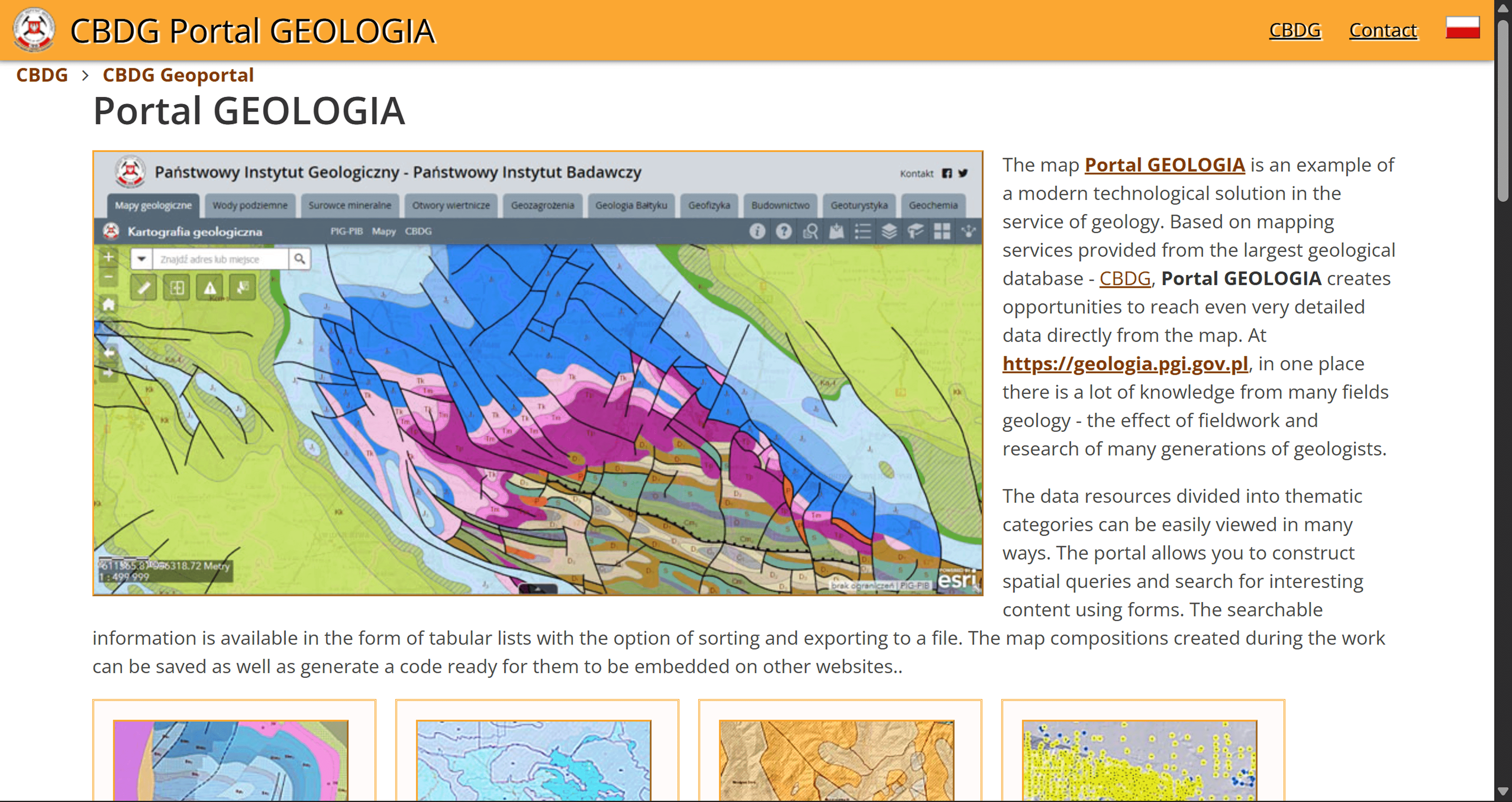
El portal de la Base de Datos Geológica Central de Polonia (CBDG).
Proporciona datos geológicos temáticos, mapas interactivos y herramientas de búsqueda espacial. Los datos se pueden exportar y utilizar en tareas analíticas.
Desafíos de los datos geológicos
A pesar de la abundancia de fuentes disponibles, siguen existiendo desafíos que afectan la calidad y la usabilidad de los datos:
Falta de cobertura: Los portales globales pueden ofrecer una representación desigual de los datos en distintas regiones, especialmente en países en desarrollo.
Diferentes formatos y estándares: La falta de un estándar unificado requiere habilidades en SIG y conversión de datos.
Actualización: No todas las bases de datos se actualizan regularmente, lo que puede afectar la vigencia de la información.
Tabla comparativa de fuentes digitales de datos geológicos
Fuente | Tipo de dato | Geografía | Formatos | Aplicación |
OneGeology | Mapas geológicos | Mundo | WMS/WFS | Visión global |
USGS NGMDB | Mapas, informes | EE. UU. | PDF, SIG | Cartografía detallada |
USGS GeoData | Topografía, minerales | EE. UU. | GeoTIFF, Shapefile | Análisis espacial |
BRGM InfoTerre | Mapas, datos del subsuelo | Francia | SIG, servicios web | Análisis de riesgos |
BGS OpenGeoscience | Mapas, escaneos, fotos | Reino Unido | SIG, API | Datos históricos |
Geoportal GEOLOGIA | Mapas temáticos | Polonia | SIG | Análisis local |
Preguntas frecuentes
¿Qué fuentes digitales son adecuadas para la evaluación preliminar de las condiciones geológicas de un área?
Los mapas geológicos digitales estatales y los archivos de datos interpretados, como NGMDB y los portales geológicos nacionales, son óptimos para esta tarea.
¿Las bases de datos geológicas estatales son gratuitas?
Muchos servicios geológicos estatales brindan acceso gratuito a parte de sus datos geológicos digitales.
¿Cuál es la diferencia entre mapas geológicos y datos geológicos espaciales?
Los mapas geológicos contienen resultados interpretados de estudios, mientras que los datos geoespaciales están destinados al procesamiento analítico en un SIG.
Conclusiones clave
Los servicios geológicos estatales siguen siendo los proveedores más confiables de datos geológicos digitales gracias a sus metodologías unificadas y verificación oficial.
Los portales digitales internacionales y nacionales varían en escala y nivel de detalle, lo que determina sus áreas de aplicación práctica.
La combinación de datos de múltiples fuentes digitales oficiales mejora la fiabilidad y la integridad del análisis geológico.


