
Soil cover is a key component of the natural environment and a resource for agricultural and territorial development. In the context of digitalized natural resource management, the integration of soil information into geographic information systems (GIS) is particularly important. Spatial data on soil morphology, composition, and properties enable a comprehensive analysis of land conditions, assessing their productivity, identifying degradation processes, and predicting changes under the influence of anthropogenic and climatic factors.
This article examines the main sources of soil data and their application in GIS.
Global Soil Data Sources and Their Applications
FAO
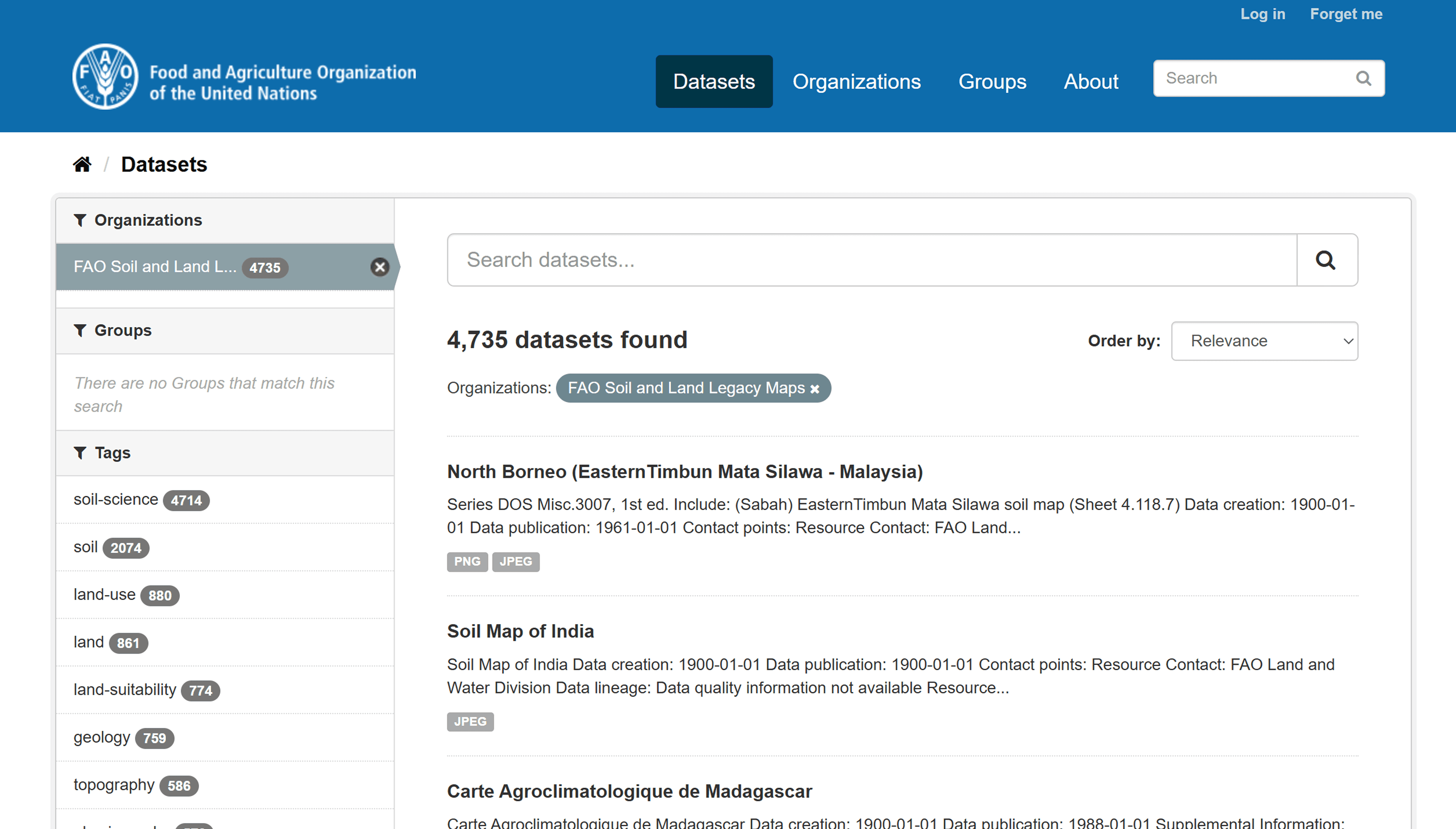
A global soil database providing harmonized information on soil types and key physical and chemical properties at ~1 km resolution.
The Food and Agriculture Organization of the United Nations has developed global soil maps and the Harmonized World Soil Database (HWSD). The database contains information on soil types and key physical and chemical indicators.
Applications:
– Global and regional agro-ecological assessments;
– Food security modeling;
– Large-scale climate studies.
A resolution of approximately 1 km makes this resource suitable for macroanalysis but insufficient for local planning.
ISRIC — World Soil Information
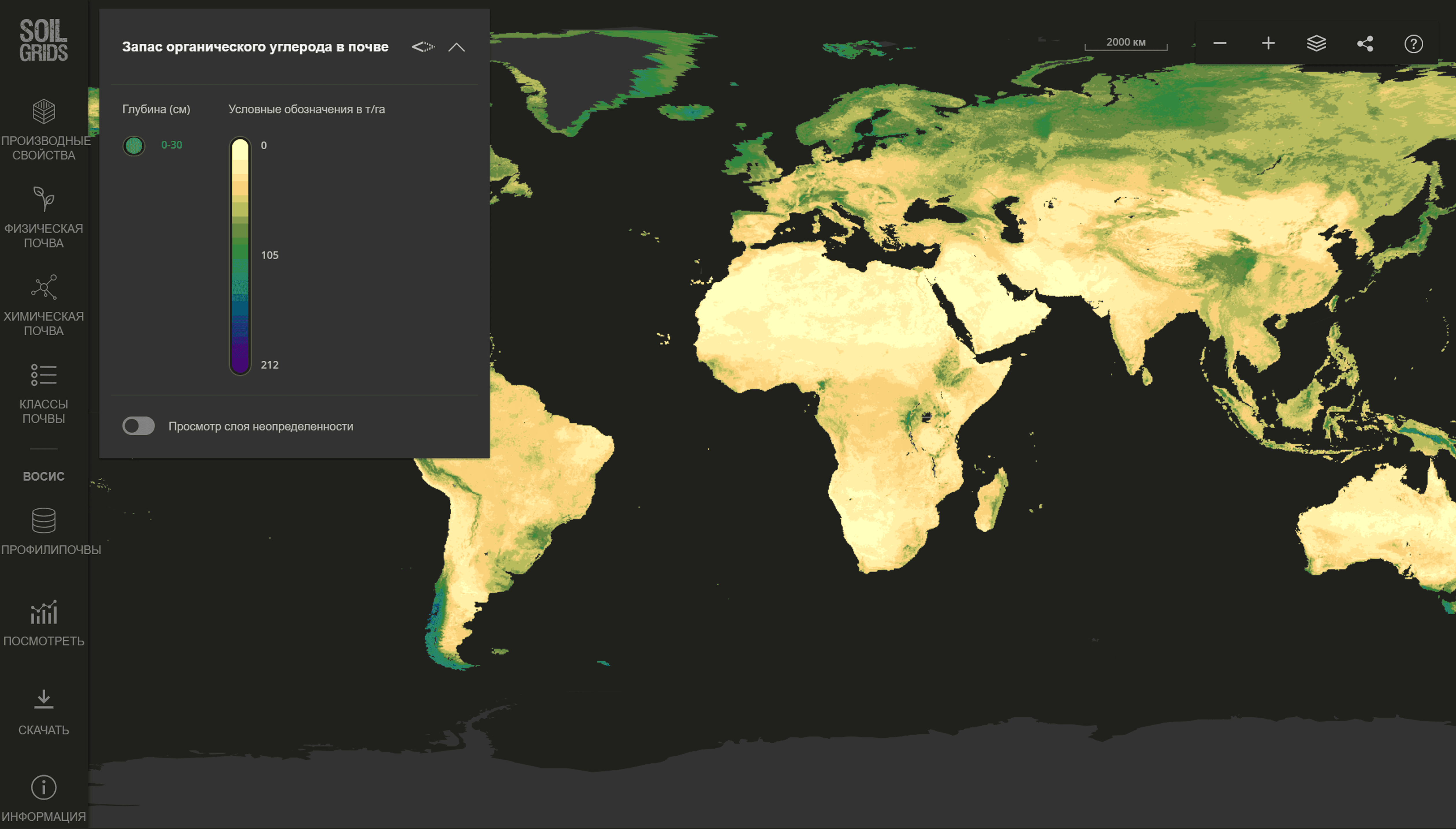
A high-resolution global platform offering modeled soil property maps (up to 250 m) based on machine learning and environmental covariates.
ISRIC maintains the SoilGrids platform, a modern global soil property model with a resolution of up to 250 m. Data is available in GeoTIFF format and through web services.
Applications:
– Estimating organic carbon content and calculating carbon stocks;
– Modeling erosion processes;
– Agronomic zoning;
– Building predictive models in GIS and data analysis environments.
Its high spatial detail makes SoilGrids a sought-after tool for scientific research.
European Soil Data Centre (ESDAC)
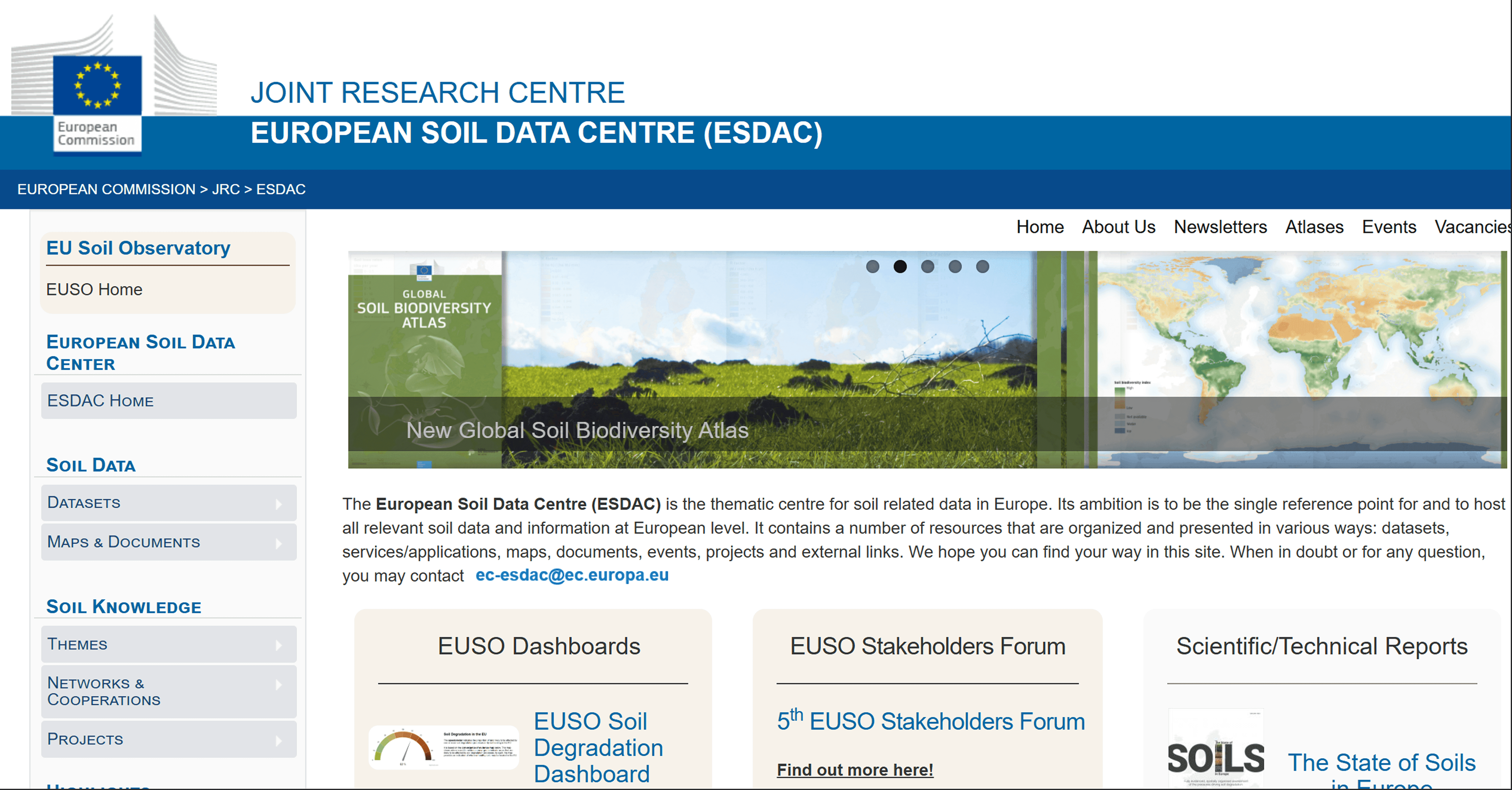
A European data portal delivering harmonized soil datasets and thematic maps to support environmental policy and land management.
ESDAC accumulates soil data from European countries, including thematic maps of erosion, salinity, and organic matter.
Applications:
– EU environmental policy development;
– land degradation assessment;
– soil resource monitoring;
– regional spatial planning.
USDA NRCS
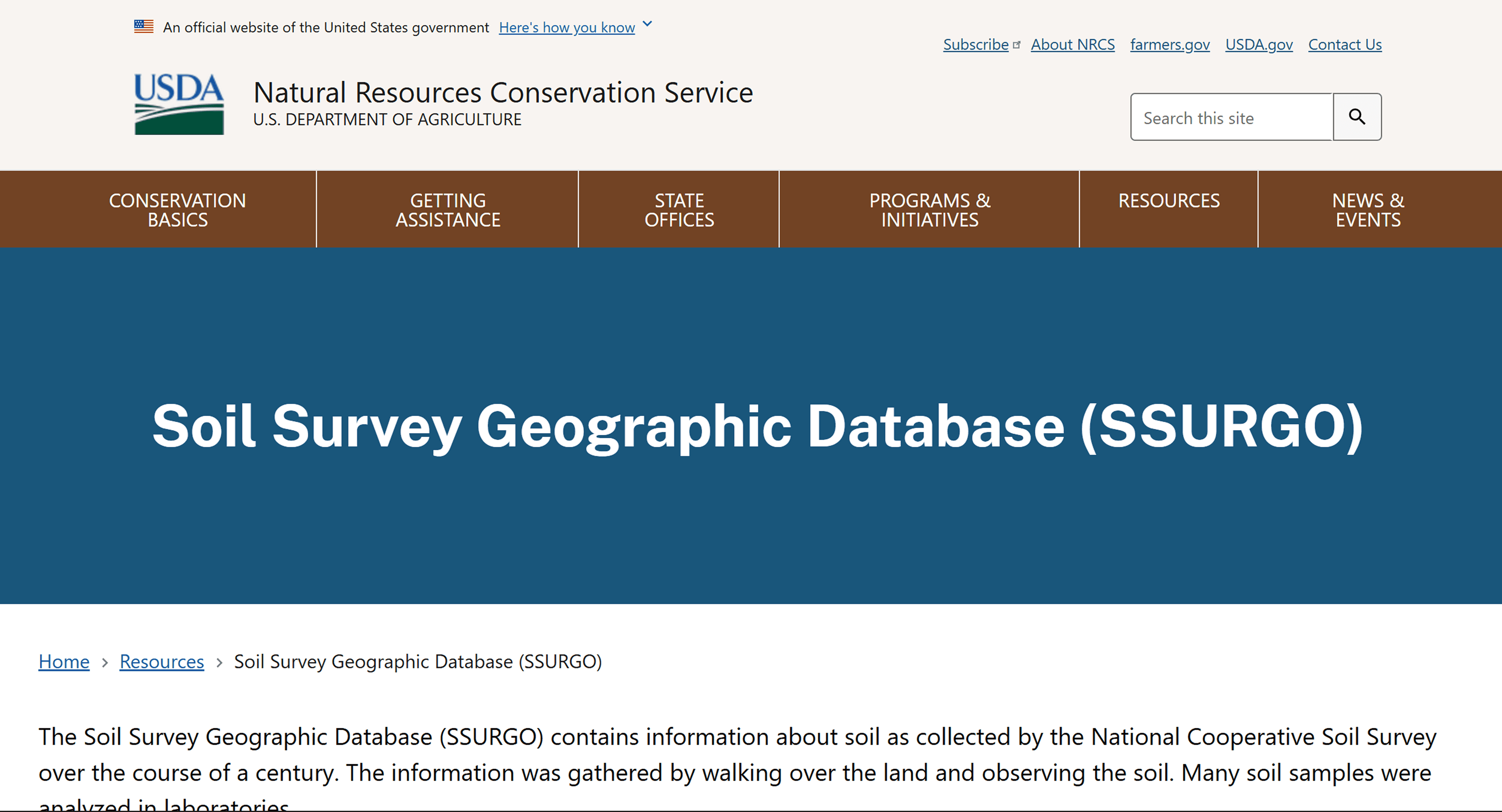
A detailed U.S. national soil database providing vector soil maps and attribute data for farm-level and engineering applications.
The U.S. Natural Resources Conservation Service maintains the SSURGO database, one of the most detailed national soil systems.
Applications:
- Farm planning and crop selection;
- Fertilizer rate calculations;
- Engineering and construction surveys;
- Cadastral and land management work.
The high level of detail allows for the use of data at the farm level.
European Space Agency – Sentinel-2

A multispectral satellite mission used for soil-related environmental analysis.
Sentinel-2 satellites provide high-resolution (10–20 m) multispectral data, which are widely used to assess soil moisture, texture and vegetation cover.
Esri — Esri Land Cover
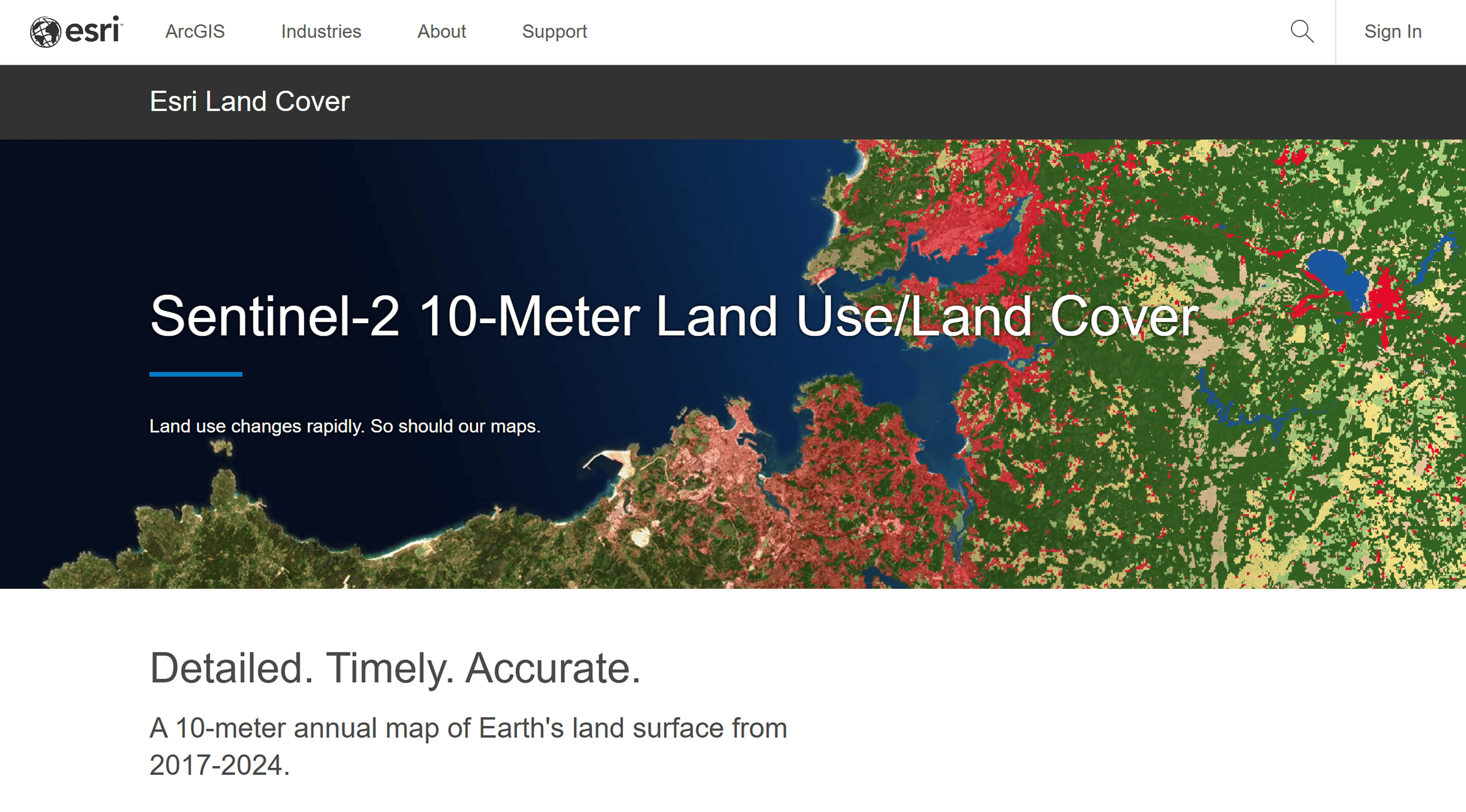
A 10 m global land cover classification product from ESRI.
Although land cover maps are not direct soil data, they are widely used in digital soil mapping to model soil properties. The global Land Cover product is based on Sentinel-2 satellite data and deep learning methods. Resolution: 10 m.
Applications:
– Soil contour delineation;
– Anthropogenic load analysis;
– Calibration of DSM models.
Comparative table of soil data sources
Data Source | Geographic Coverage | Spatial Resolution | Data Type | Main Formats | Primary Applications |
FAO | Global | ~1 km | Raster + Attribute Tables | GeoTIFF, DB | Global land assessment, climate and carbon modeling |
ISRIC SoilGrids | Global | Up to 250 m | Raster (modeled soil properties) | GeoTIFF, WCS | Soil carbon estimation, erosion modeling, agroecological zoning |
ESDAC | Europe | 250 m – 1 km | Vector + Raster | Shapefile, GeoTIFF | Soil degradation monitoring, EU environmental policy support |
USDA SSURGO | United States | Up to 1:24,000 scale | Vector + Relational Database | GDB, Shapefile | Farm management, engineering surveys, land-use planning |
Esri Land Cover (Sentinel-2 based) | Global | 10 m | Raster (Land Cover Classification) | GeoTIFF, Image Services | Digital soil mapping support, land-use analysis |
ESA Sentinel-2 | Global | 10–20 m | Multispectral Raster Imagery | SAFE, GeoTIFF | Spectral analysis, soil moisture estimation, environmental monitoring |
FAQ
What is the most suitable global soil database for large-scale studies?
For global and macro-level assessments, FAO HWSD is appropriate due to its worldwide coverage (~1 km resolution).
Which dataset provides higher spatial detail for soil properties?
ISRIC — World Soil Information SoilGrids offers modeled soil properties at up to 250 m resolution, making it suitable for detailed spatial analysis.
Can satellite data replace traditional soil databases?
No. Products like European Space Agency Sentinel-2 and Esri Land Cover complement soil databases but do not substitute direct soil property measurements.
Key Takeaways
Datasets such as FAO HWSD provide global consistency, while SoilGrids and SSURGO offer higher spatial detail for regional or local applications.
Raster datasets support modeling and spatial analysis, whereas vector and relational databases are better for cadastral and applied land management tasks.
Combining soil databases with land cover and satellite imagery enhances digital soil mapping and environmental assessment accuracy.


