Build Interactive Maps &
Dashboards in Minutes
BOOK A DEMO
GET STARTED FOR FREE
Use cases
Choose a next site for your business
Visualize historical changes over time
Map service coverage areas
Build a travel
or route planner
Monitor project progress geographically
Track your assets in real time
Map events
and activities
Describe your case
Send
Tailored geospatial solutions for every industry
Explore
Real estate
Urban planning
Climate
Education
Agriculture
And more…
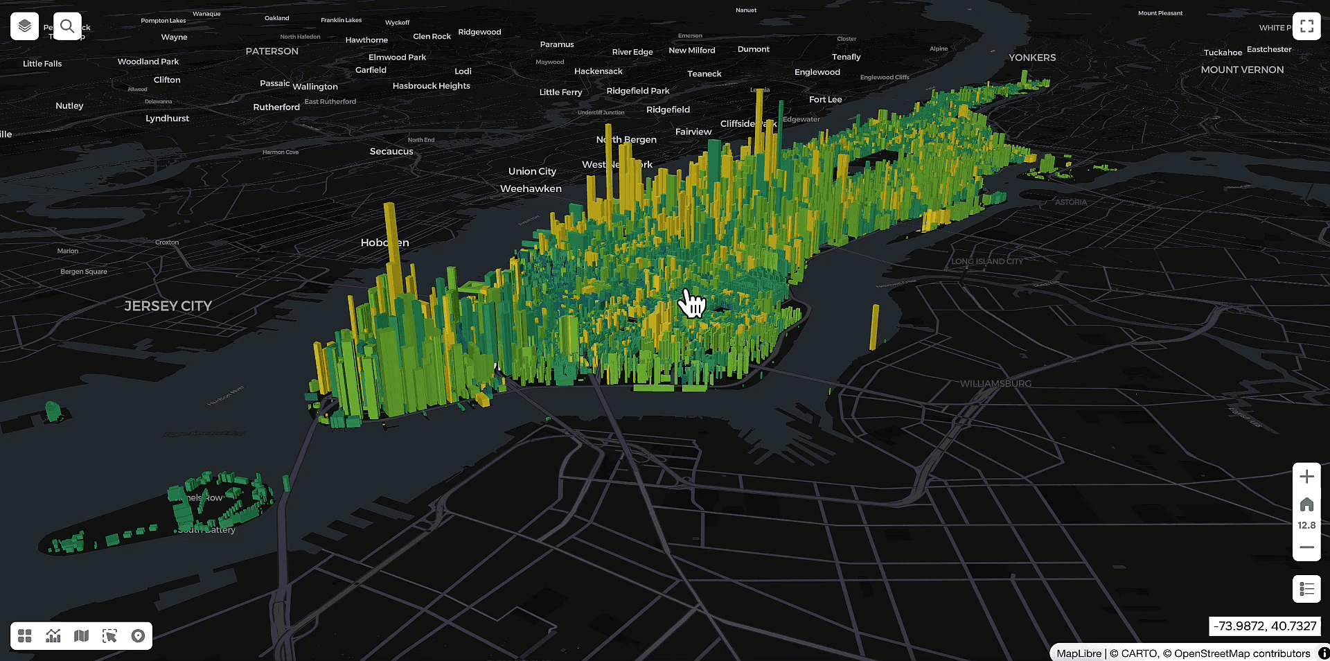
Working with data and visualisation in three dimensions
3D
Analyse your data with live charts
Dashboards
Integrate different data sources in wms, wfs, etc
External data connection
COntrol changes from different angles
Layer compression and timeslider
Export layers from QGIS to web platform for easier maps sharing
QGIS plugin
Frequently Asked Questions
What can the GISCARTA platform be used for?
Can the GISCARTA platform be used for free?
What do I need to register on the GISCARTA platform?
Who can use the GISCARTA platform?
How can I create a project?
Мore questions
Your own corporate geoportal
Cloud or on-premise
No license payments
Role-based access model and administration
Unlimited number of users and projects
Data monetization via maps
Customized features
Let’s discuss

Start making and sharing maps
and dashboards now
Try for free
SUPPORT
© 2026 GISCARTA