
When working on mapping/GIS projects, you always wonder: where to get the data? And even if you do find it, you always doubt whether it's suitable for a specific task. This article is a practical guide to open vector geodata sources, explaining where to search for GIS data, how to select datasets based on map scale, and which aggregators and thematic portals are best suited as a starting point.
Where to start searching for open vector geodata sources?
The starting point for searching open vector geodata sources depends on the scale and purpose of your final map.
City and large-scale projects
If your goal is to create a large-scale city map (for example, detailed urban analysis, infrastructure planning, or accessibility studies), the first place to look is usually OpenStreetMap. It is one of the most comprehensive free sources of GIS vector data for urban environments.
If the required data is missing or incomplete in OpenStreetMap, it is recommended to:
– Check national or municipal open data portals
– Search thematic datasets (transport, buildings, land use)
– Combine multiple datasets and perform additional validation
For the highest data quality, it is often necessary to compare several sources and manually assess completeness and consistency.
Regional and national projects
For regional or country-level maps, generalized datasets are usually sufficient. In such cases, global open vector geodata sources such as Natural Earth or GADM provide consistent and well-structured data suitable for analysis and visualization.
Global and comparative studies
For global or cross-country comparisons, priority should be given to datasets that ensure consistency across regions. Here, free sources of GIS vector data with standardized schemas and global coverage are essential.
Data aggregators: the best way to search free GIS vector data
Searching for open vector geodata sources is often most efficient when starting with data aggregators. Aggregators collect links to thousands of datasets from different providers and allow structured search.
Key advantages of aggregators:
– Centralized access to many free sources of GIS vector data
– Filtering by topic, format, license, and spatial coverage
– Discovery of lesser-known but high-quality datasets
Recommended data aggregators:
Dateno– convenient dataset search using filters (topics, geography, format, license). Especially useful for exploratory work and social or demographic data.GeoSeer– search by free-text queries. Very flexible, but search queries need to be carefully formulated to avoid irrelevant results.Opendatasoft Public Hub– filter-based search with regularly updated datasets from multiple providers.Free GIS Data– a large and well-known catalog of free GIS and open vector geodata sources worldwide.
Starting with aggregators is often the fastest way to identify relevant open vector geodata sources before moving on to specialized portals.
Key global open vector geodata sources
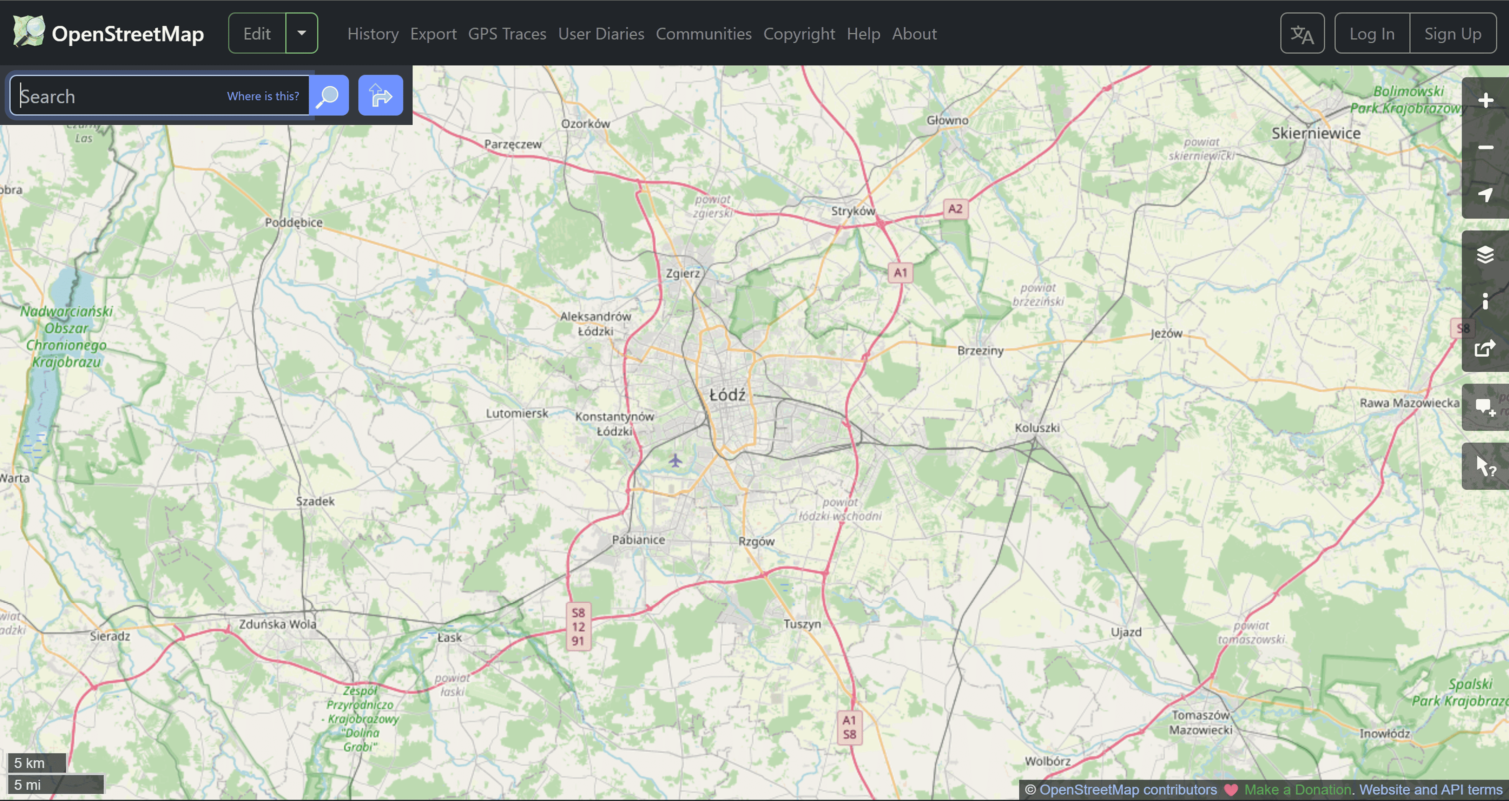
Cartographic service with open data OSM
Suitable for: Obtaining detailed data for urban and regional projects.
OpenStreetMap remains the leading source of vector geodata for urban analysis. It provides road networks, buildings, infrastructure, and points of interest. The data is regularly updated by "citizen cartographers," so its quality may vary by region – in some places the community is more active than in others. For serious analytical tasks, preliminary data validation is required.
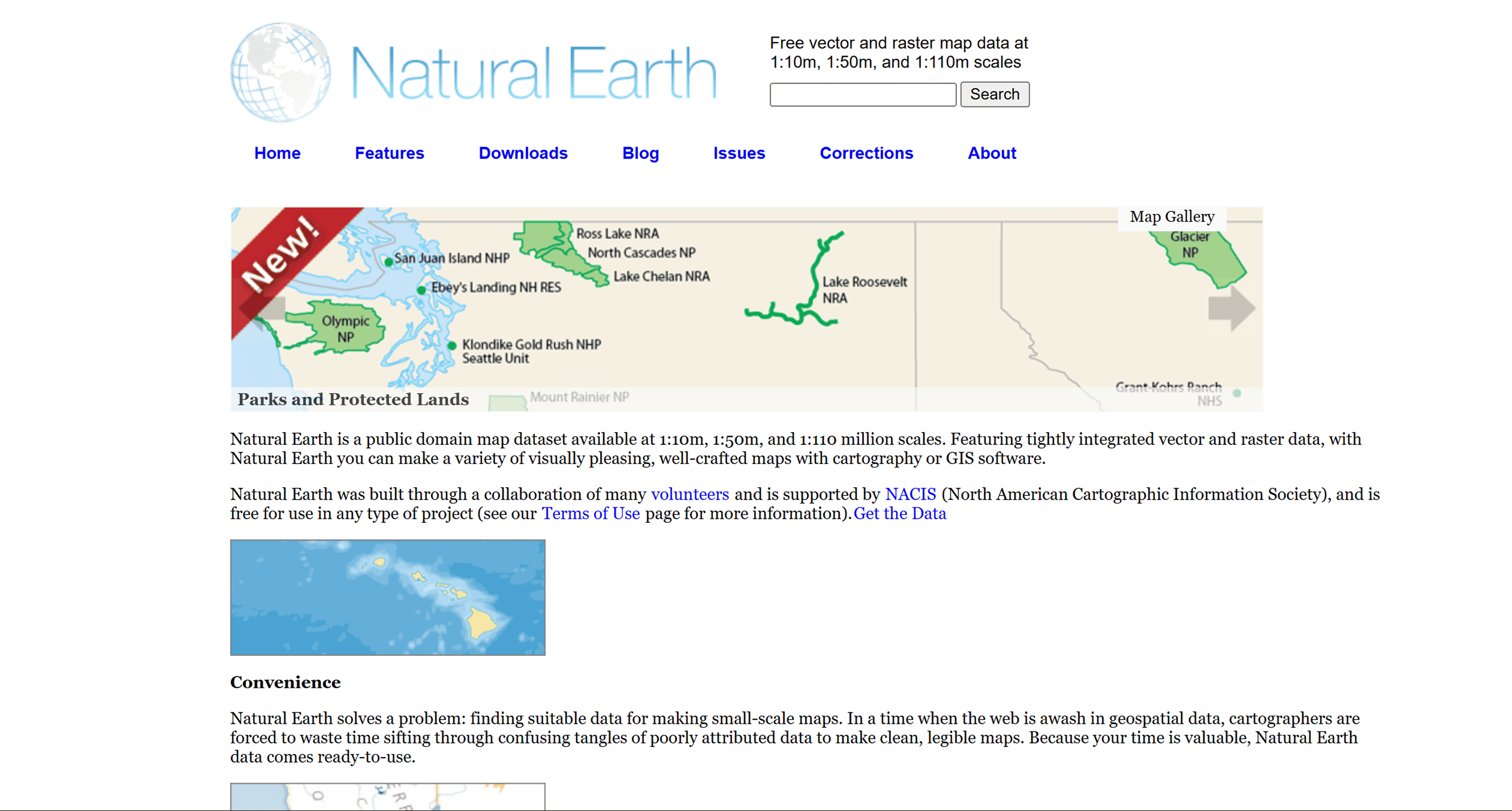
Natural Earth is a free resource with ready-made geographical data (borders, rivers, relief)
Suitable for: Overview maps and analysis at the country and regional level.
Natural Earth provides generalized vector geodata suitable for project basemaps or small-scale work. This source is not suitable for detailed urban analysis, but works well for comparative and presentation projects.
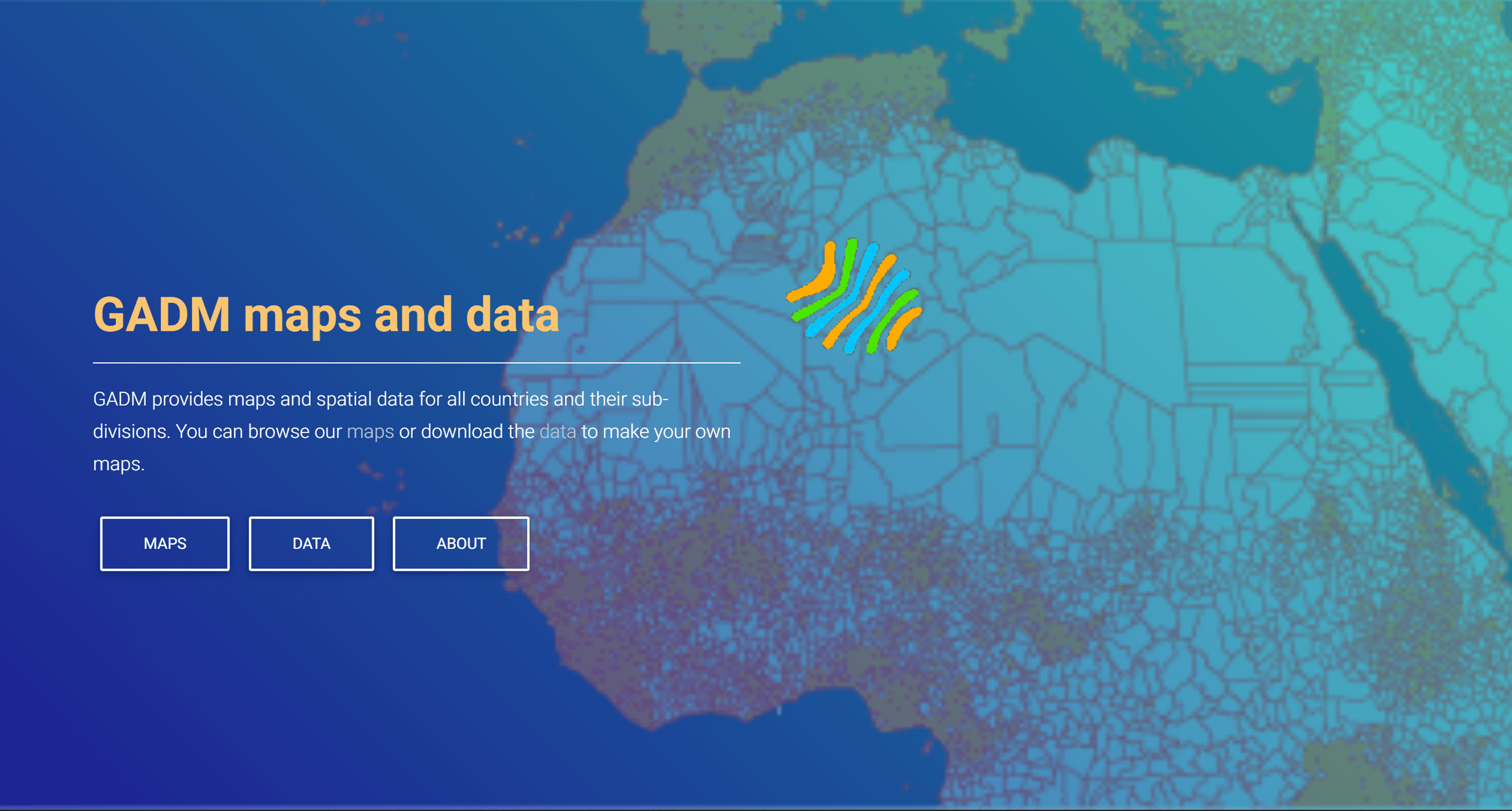
GADM provides spatial data for all countries and their sub-divisions
Suitable for: Administrative boundaries at various levels.
GADM is used in research and statistical projects where clear territorial divisions and data comparability across countries are important.
Thematic Vector Data Sources
Humanitarian Data Exchange (HDX)
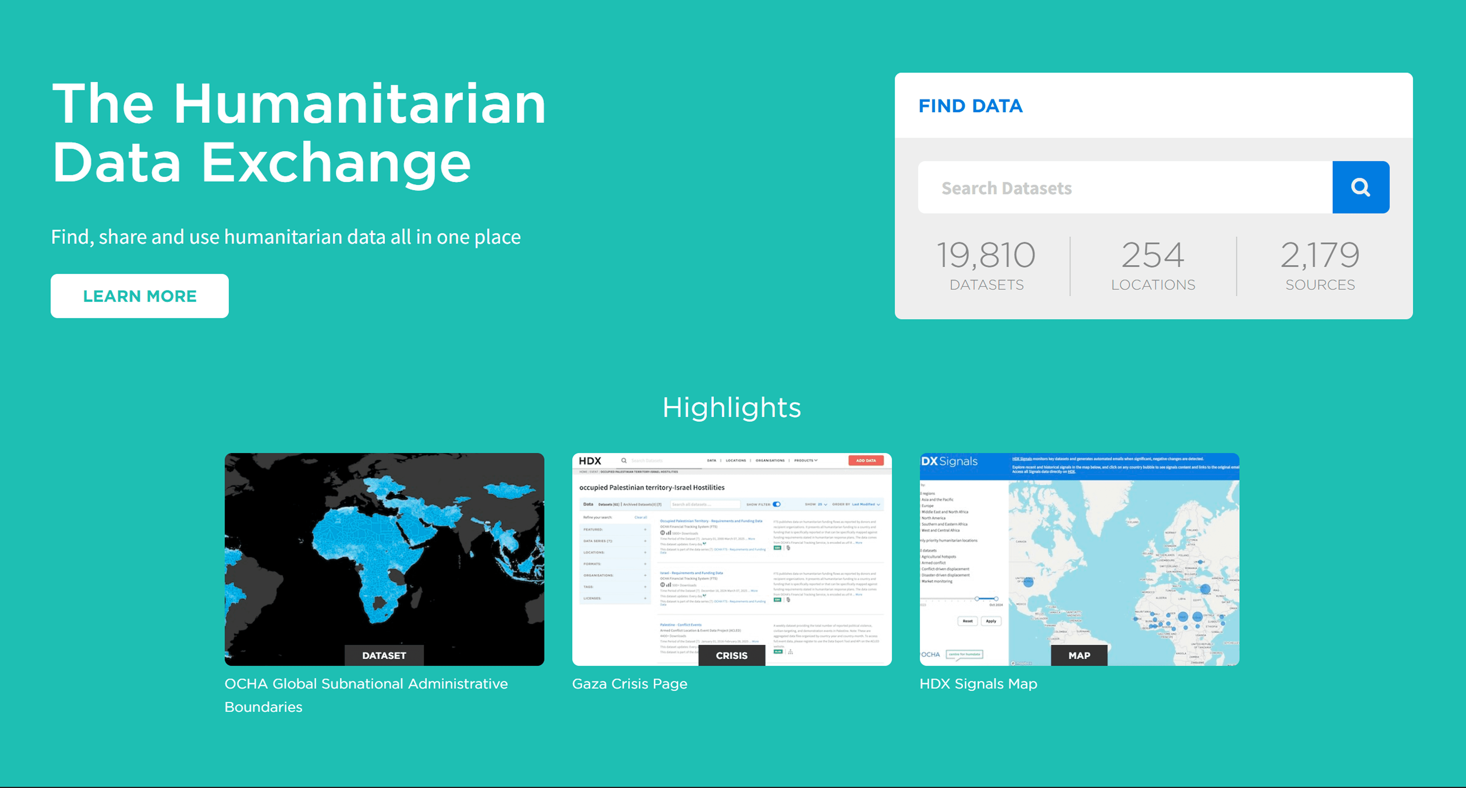
The Humanitarian Data Exchange (HDX) is an open platform for sharing data across crises and organisations
Suitable for: Population and infrastructure analysis.
HDX contains vector datasets used in demographic studies. This source is convenient for working with population and administrative boundaries.
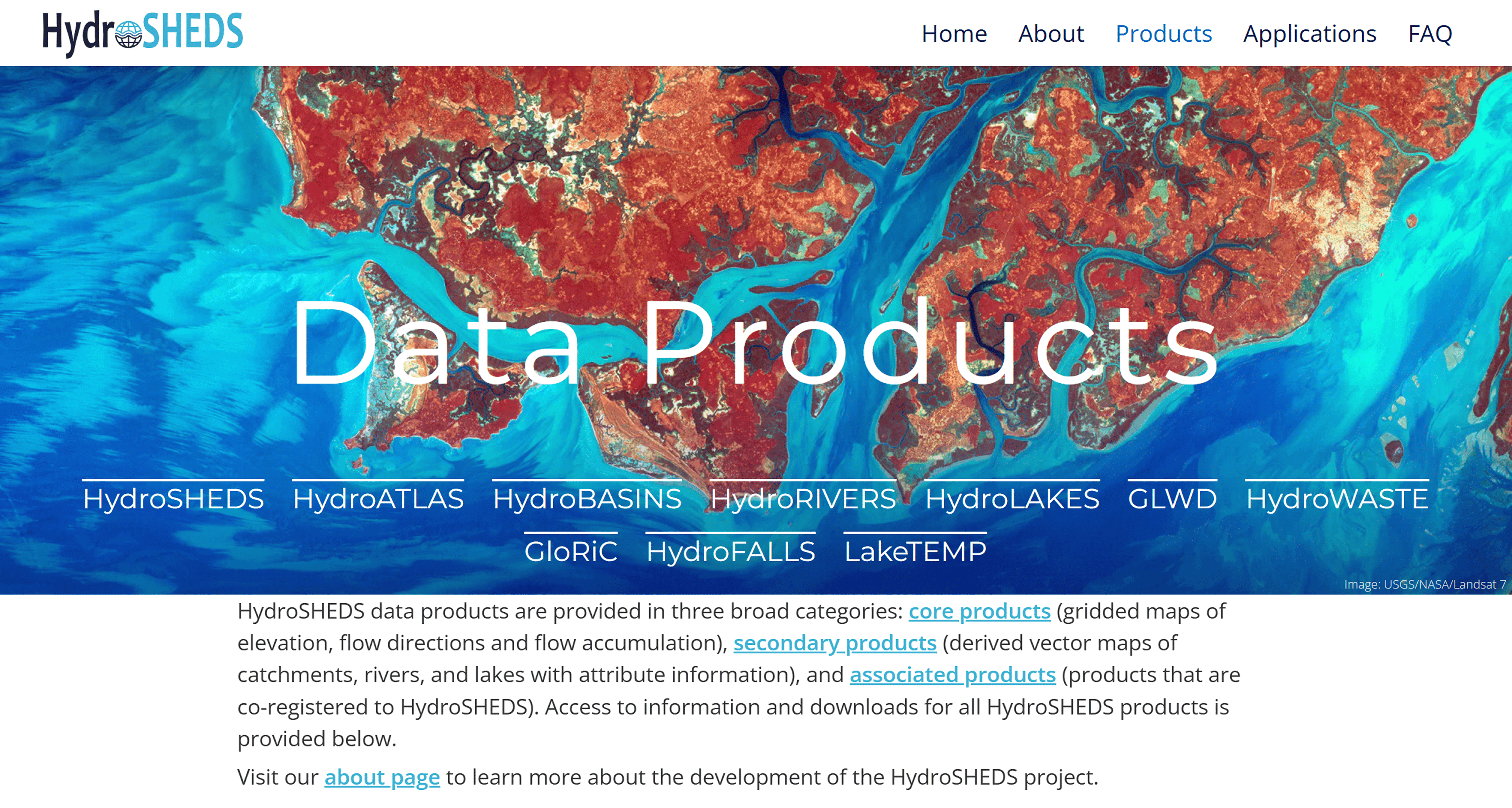
Database of hydrographic objects
Suitable for: Environmental and nature projects.
HydroSHEDS contains data for analyzing hydrographic networks, watersheds, land use, and natural resources. It is suitable for regional and national projects, but lacks detail for city-level projects.
Suitable for: Accessing environmental, land, geological, and earth observation vector and raster datasets
EarthExplorer is a key portal for accessing geospatial data provided by the US Geological Survey. While it is widely known for raster data (satellite imagery and DEMs), it also includes valuable vector datasets such as administrative boundaries, land cover classifications, and environmental features. This platform is an essential open geodata source for environmental analysis, land management, and large-scale scientific research.
Suitable for: Biodiversity, agriculture, climate, and ecological analysis
DIVA-GIS offers free spatial data related to biodiversity, climate variables, administrative boundaries, and species distributions. It is particularly useful for ecological, agricultural, and conservation-focused projects, and remains a popular free source of GIS vector data in academic and research workflows.
How to select data for a GIS project?
In practice, project data is always collected from multiple free sources of GIS data. It's important to consider the specifics of the task, the display scale, and licensing terms.
FAQ
Where should I begin selecting vector data?
In most projects, this is with OpenStreetMap as the base source.
Is it possible to combine different sources?
Yes, this is a standard approach for GIS projects.
Is open data suitable for analysis?
Yes, subject to prior quality and timeliness checks.
Do I need to consider licenses?
Yes. The terms of use differ: OpenStreetMap is distributed under the ODbL license, while other sources use CC or their own terms. This is important to consider when publishing and sharing data.
Key Takeaways
The source of vector GIS data is selected based on the task, not the popularity of the dataset.
OpenStreetMap is suitable for urban projects, while Natural Earth is suitable for general maps.
Data aggregators are the most efficient starting point when searching for free sources of GIS vector data.
Thematic portals address more specific needs but require additional data verification.


