
Open sources of relief data
Elevation data in GIS is typically represented as digital elevation models. This data is most commonly distributed in raster format (GeoTIFF), where each cell contains an elevation value above sea level. There are several types of elevation models:
DEM (Digital Elevation Model) is a general term for digital elevation models that can include different approaches to surface representation.
DSM (Digital Surface Model) represents the elevation of all objects on the surface, including buildings, vegetation, and infrastructure.
DTM (Digital Terrain Model) describes the bare earth's surface without any elevated objects and is more often used for hydrological analysis, slope modeling, and engineering calculations.
Where to start searching for elevation data?
When searching for open elevation modeling (DEM) data, it's logical to start with major portals and aggregators. They allow you to browse available datasets in one place, compare them by resolution, coverage, and type, and quickly understand which sources are suitable for a specific task.
At the first stage, it's important to define several key parameters:
Required spatial resolution;
Territorial coverage;
Data type (DSM or DTM);
Licensing restrictions and terms of use.
Access portals and data aggregators
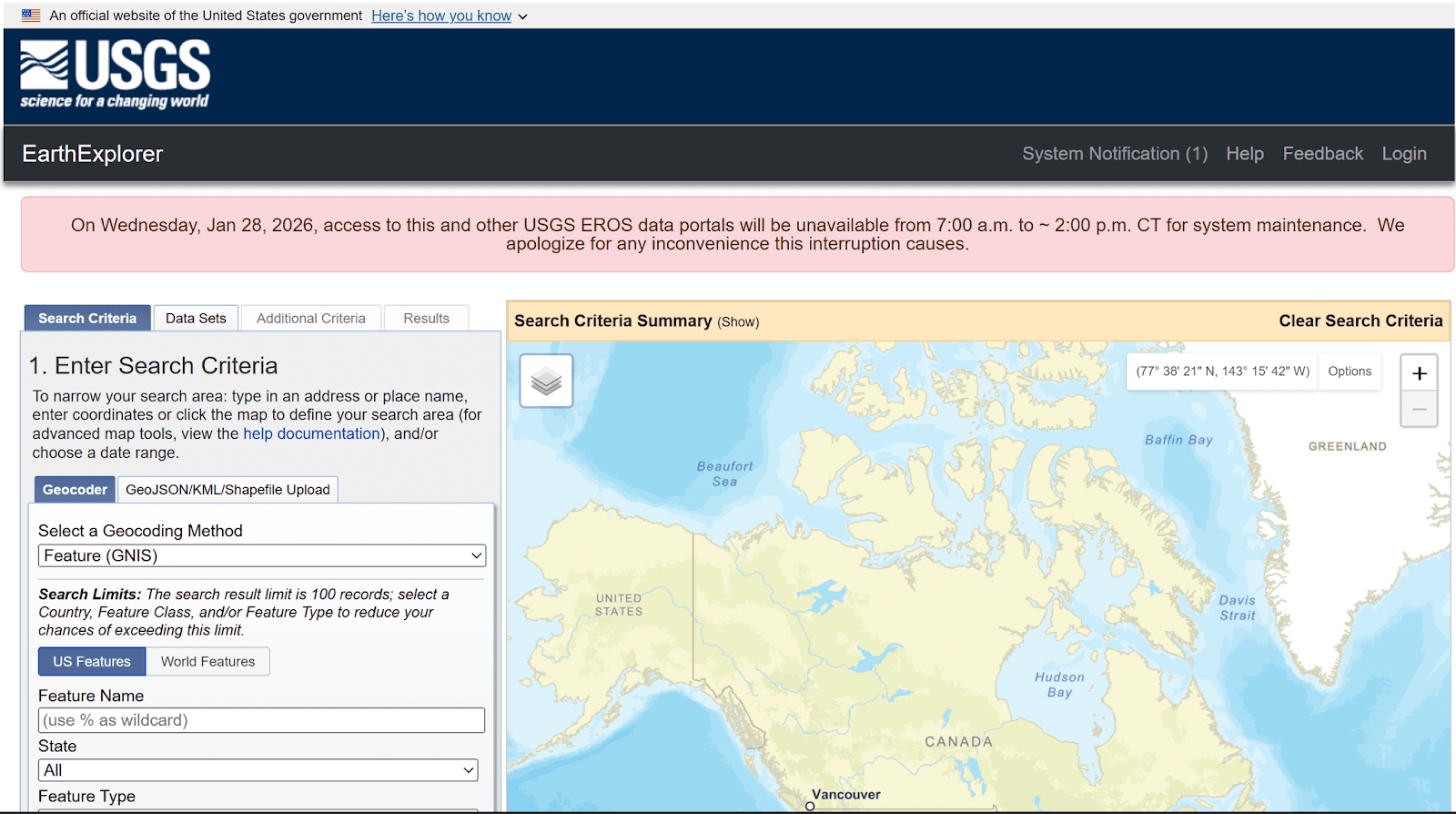
USGS EarthExplorer is a central portal for discovering and downloading global and regional relief datasets.
Suitable for: searching and downloading global and regional elevation data.
EarthExplorer is one of the main portals for accessing SRTM, ASTER, GMTED, and other datasets. It allows you to filter data by region, type, and other parameters.
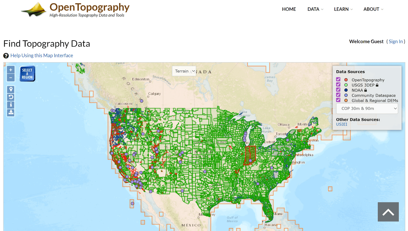
OpenTopography provides high-resolution relief and LiDAR data for scientific and applied studies.
Suitable for: High-detail DEM and LiDAR data.
OpenTopography provides access to LiDAR data and high-precision terrain models for specific regions.
Global open terrain datasets
SRTM (Shuttle Radar Topography Mission)
Suitable for: global and regional projects
SRTM is one of the most popular open elevation datasets with near-global coverage and a resolution of approximately 30 m. It is widely used for hydrological analysis, terrain modeling, and spatial analysis, but has limitations in mountainous and built-up areas.
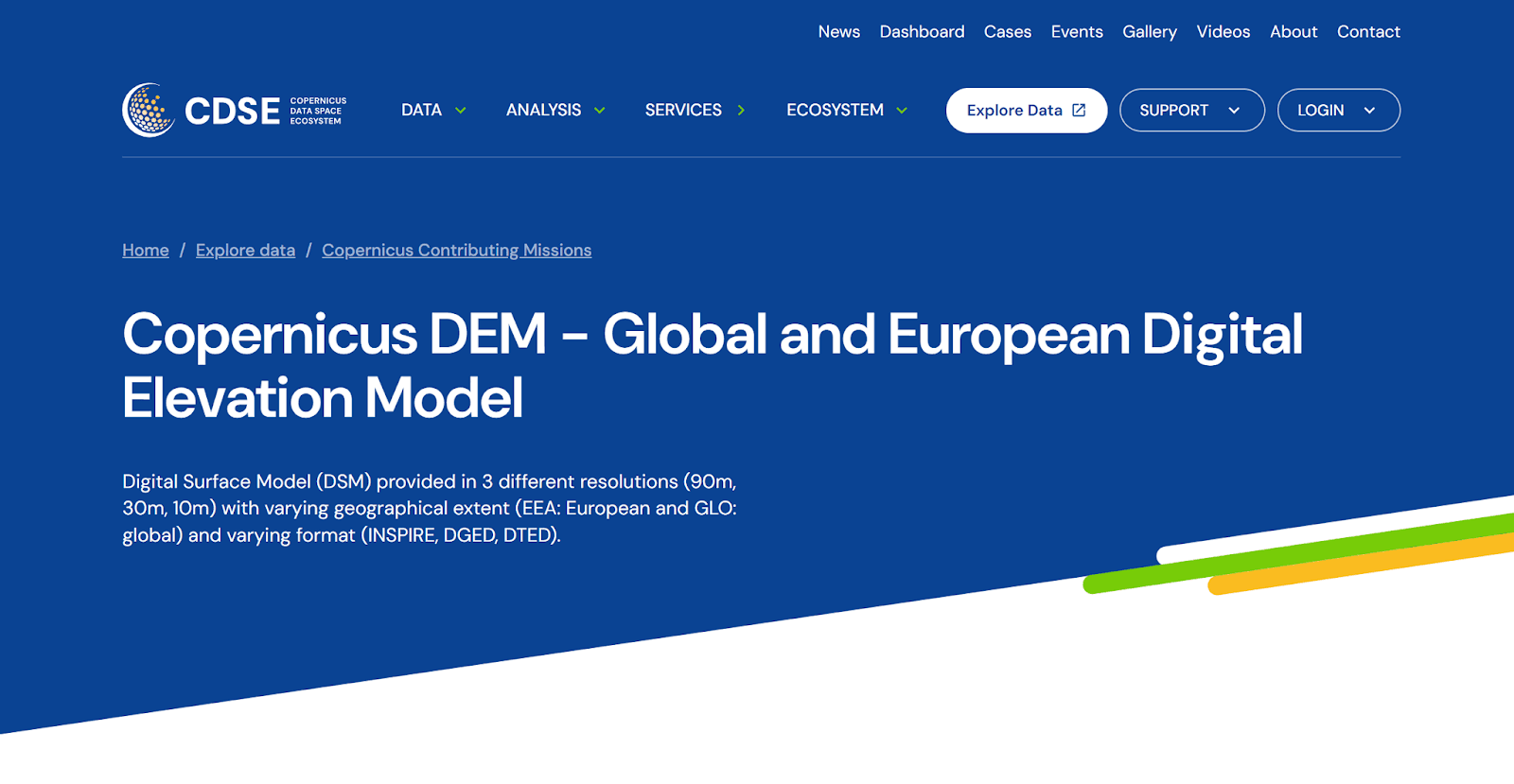
Copernicus DEM represents a global relief model for environmental and land analysis.
Suitable for: regional and national projects
Copernicus DEM offers higher accuracy than SRTM and is available in 30 and 10 m resolutions. It is often used in environmental studies, land use analysis, and environmental monitoring.
Suitable for: global surveys
ASTER GDEM provides global coverage but is more noisy and contains artifacts. Recommended for preliminary analysis and research purposes.
Suitable for: small-scale mapping and visualization
GMTED2010 is a generalized global terrain dataset designed for tasks where high detail is not required.
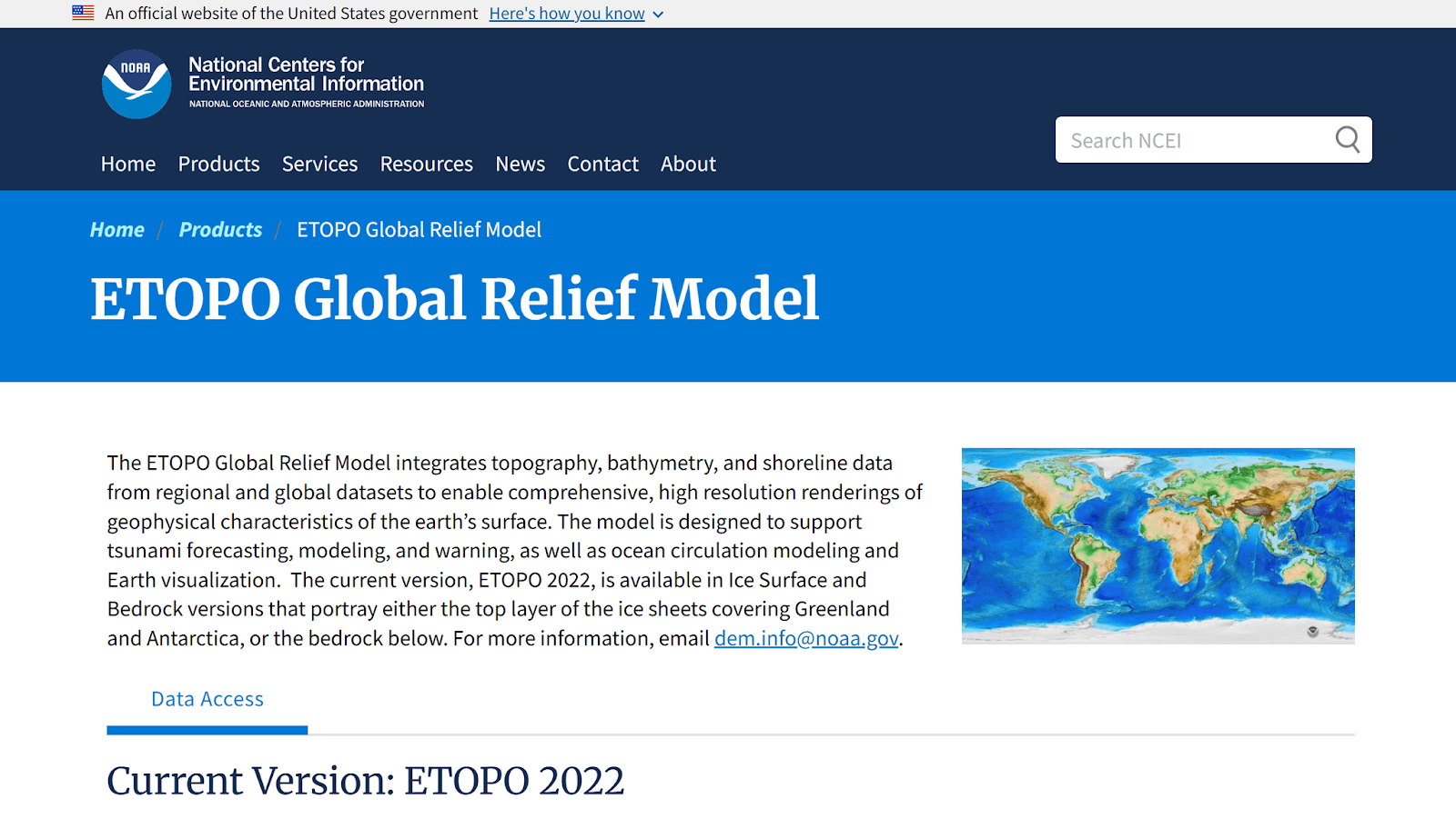
ETOPO combines land and seafloor relief within a single global model.
Suitable for: global land and ocean elevation models
ETOPO is a global digital elevation model that integrates land elevation and ocean bathymetry data. It is often used in global and survey studies, natural process modeling, and visualization.
Suitable for: hydrological and environmental analysis
MERIT DEM is an improved global elevation model, based on SRTM and other sources, with reduced errors and artifacts. It is widely used in hydrological and climate studies.
Global Ensemble Digital Terrain Model 30m (GEDTM30)
Suitable for: global terrain analysis with increased robustness to errors
GEDTM30 is a 30-meter-resolution ensemble terrain model that combines multiple global DEMs to improve accuracy and reduce systematic errors.
Suitable for: global terrain analysis with improved accuracy
NASADEM is a reworked version of SRTM, created by NASA using additional data and modern processing algorithms. Compared to the original SRTM, it offers superior performance in complex terrain conditions.
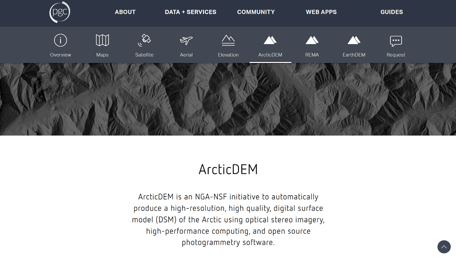
ArcticDEM delivers detailed relief data for Arctic and high-latitude regions.
Suitable for: detailed relief analysis of Arctic regions
ArcticDEM is a highly detailed relief model for northern latitudes, created using stereo satellite imagery. It is widely used in cryospheric, climate, and geomorphological studies.
Regional and National Sources
For projects where high accuracy is essential, regional and national geoportals should be consulted. Many countries publish high-resolution DEM and LiDAR data, which is particularly valuable for urban studies, flood modeling, and infrastructure projects. The main limitation of such data is its limited geographical coverage.
Comparison table of the main open sources of relief data
Open Source | Pixel resolution | Limits |
SRTM | 30 m | Errors in mountains and cities, background noise |
Copernicus DEM | 10-30 m | Big data |
ASTER GDEM | 30 m | Noise and artifacts |
GMTED2010 | 250 m | Very low detail |
ETOPO | 30-60 m | Low detail at the local level |
MERIT DEM | 90 m | Limited detail |
GEDTM30 | 30 m | Big data |
NASADEM | 30 m | Limitations of SRTM legacy |
ArcticDEM | 30 m | Limited by the geography of the Arctic |
Key Takeaways
Choosing between DSMs and DTMs is critical for accurate analysis. DSMs represent surfaces with objects, while DTMs represent "pure" terrain, and mixing them leads to erroneous results.
Global DEMs are suitable for most overview and regional tasks, but urban and engineering projects often require regional or LiDAR-level data.
The quality and resolution of DEMs should be consistent with the scale of the task, not the maximum available characteristics.
Enhanced and ensemble models: MERIT DEM, GEDTM30 reduce systematic errors, especially in hydrological and natural studies.
FAQ
Where do I start searching for terrain data?
Start with global portals like USGS EarthExplorer and OpenTopography.
Are open DEMs suitable for analysis?
Yes, with an understanding of their limitations and quality.
When are regional or LiDAR data needed?
For urban, engineering, and high-precision projects.


