
Hydrological data underpin water resource analysis, flood assessment, and the study of natural processes. In GIS, they are used in a variety of applications, from river basin modeling to infrastructure planning and environmental monitoring.
The main challenge is usually not finding the data, but choosing the right source. One set is better suited for operational monitoring, another for decadal analysis, and a third for calculations and models.
Water Process Monitoring
When dealing with floods and rapidly changing conditions, up-to-date information is essential.
The Copernicus Emergency Management Service provides maps and data for flood and emergency monitoring. These materials are actively used by response agencies and management bodies.

USGS Water Data provides access to real-time water level and river discharge observations. Although the data is primarily US-based, it is one of the most reliable sources of ground-based measurements.
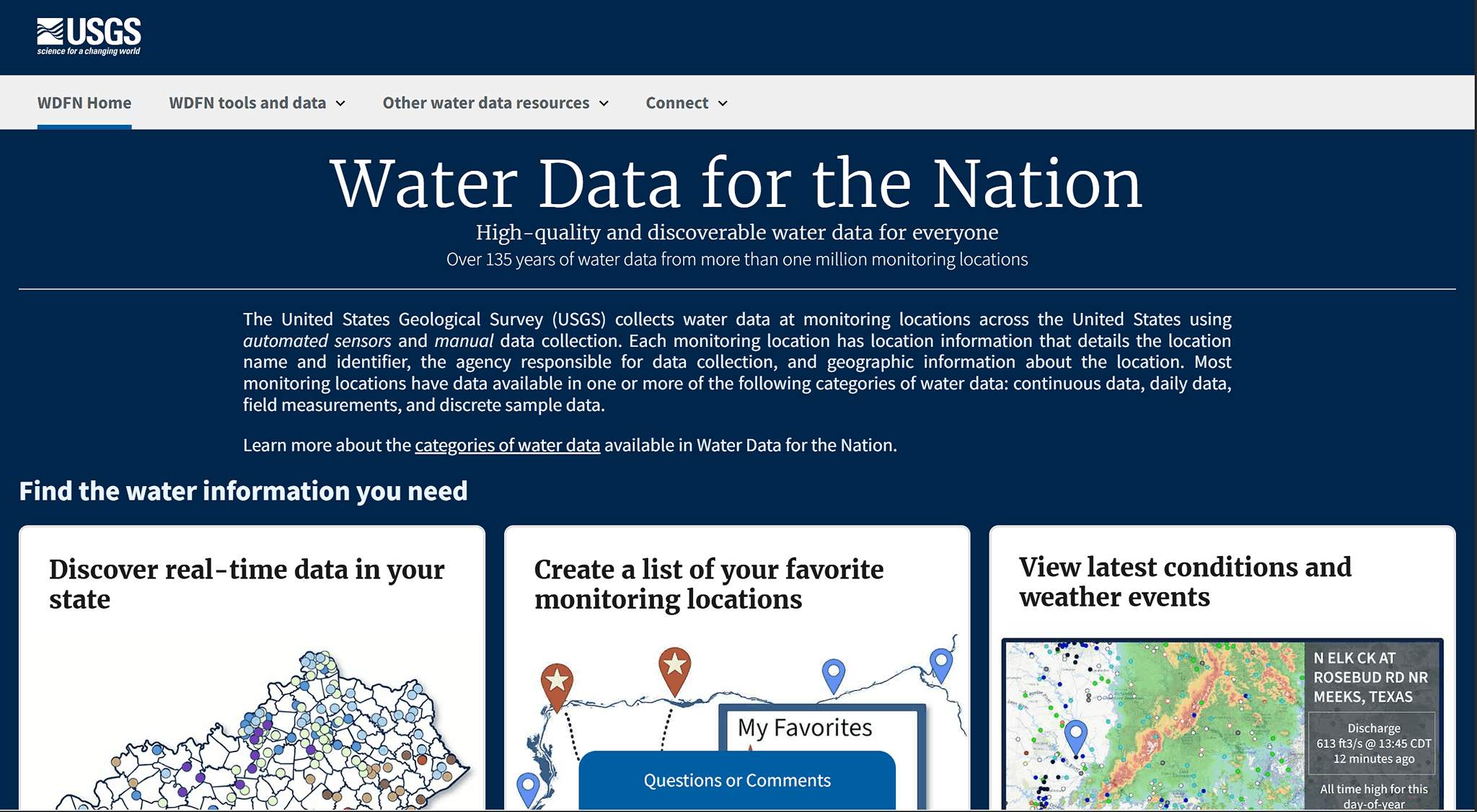
This data is suitable for operational analysis and situational assessment.
Long-term Observations
Global observational databases are used for tasks related to analyzing changes over time.
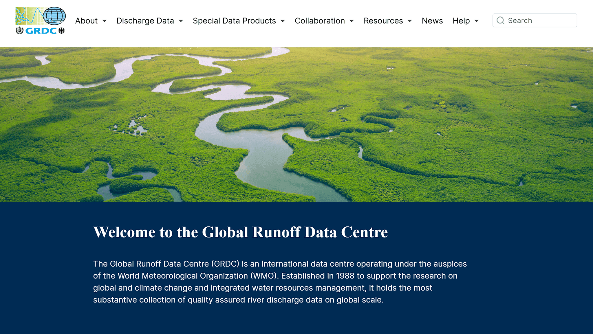
The Global Runoff Data Center (GRDC) contains multi-year streamflow data series from stations around the world. These data allow for tracking changes and comparing different regions.
GSIM (Global Streamflow Indices and Metadata) provides aggregated indicators and metadata that are convenient for scientific and comparative studies.
These sources help understand how hydrological processes change over long time intervals.
Hydronetwork Modeling and Analysis
For model building, not only observations but also the terrain structure are important.
HydroSHEDS is used to analyze catchment basins, river networks, and flow directions. The data is based on digital elevation models and is well suited for spatial analysis.
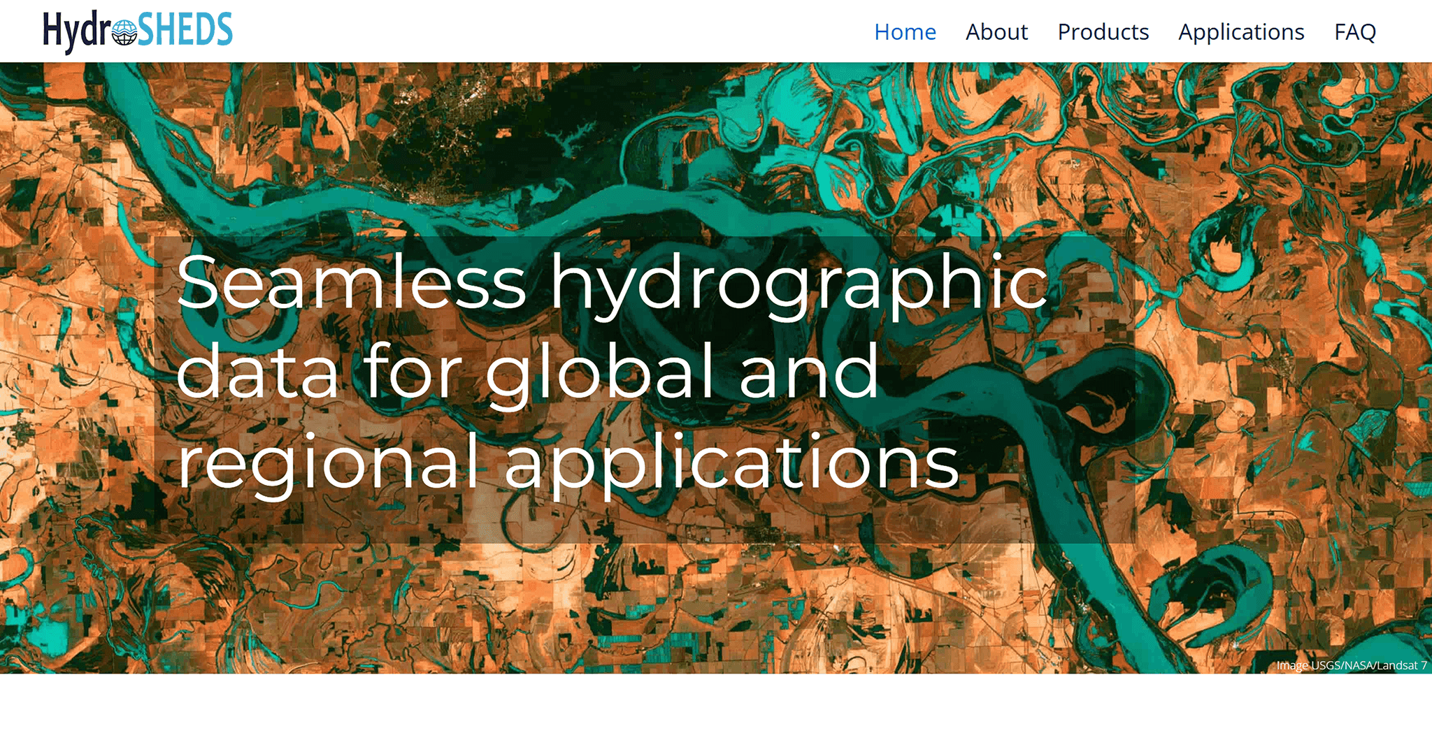
They can be used to:
identify basins
analyze flow directions
build hydrological models
Climate Data for Hydrology
Hydrological processes are directly linked to climate. Precipitation and evaporation data are required for calculations and modeling.
ERA5 provides such data in the form of consistent time series. This dataset is often used in climate and water balance studies.
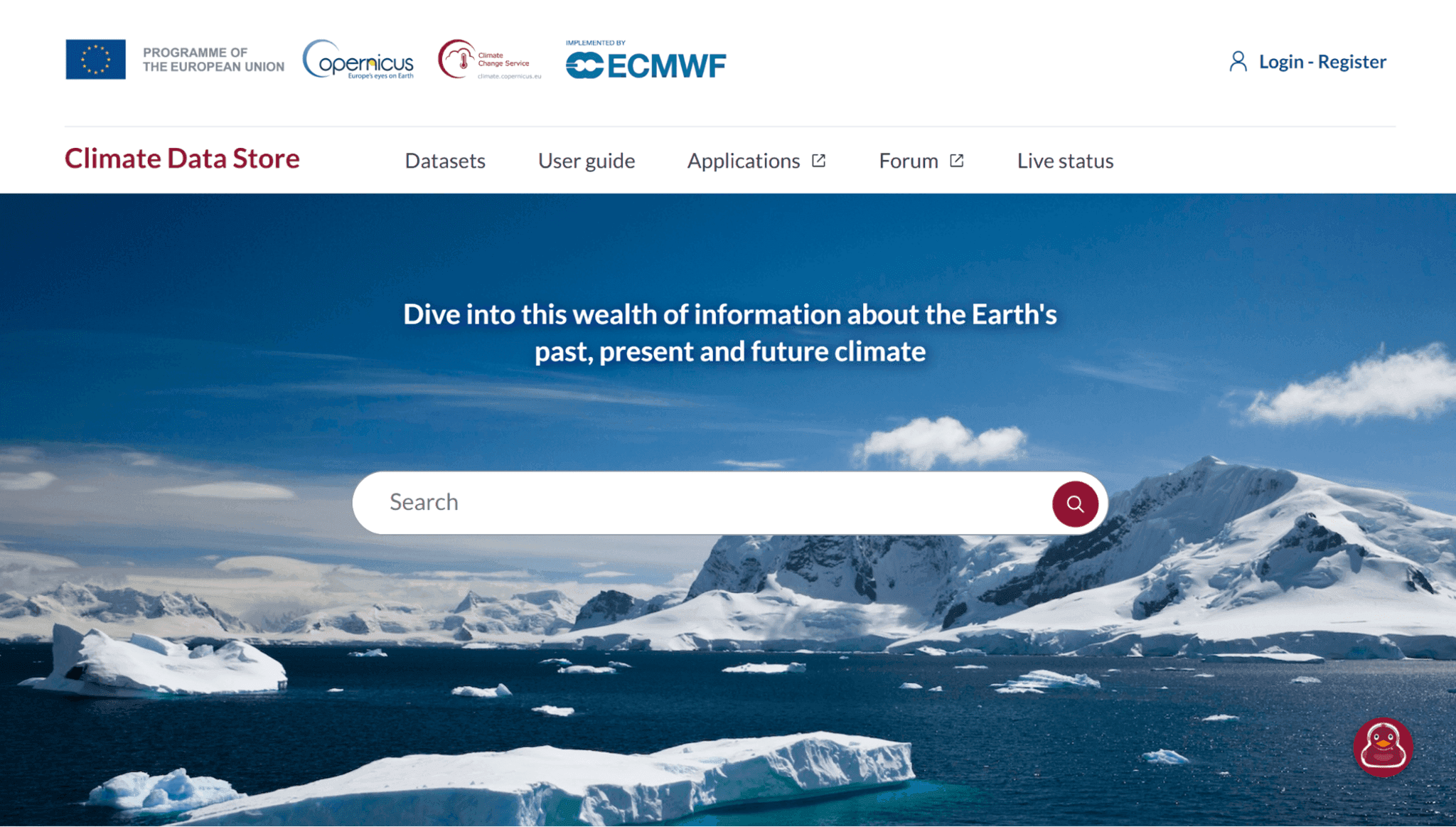
It is suitable for tasks where it is important to consider the influence of climate on hydrology.
Combining Sources
In practice, a single data source is rarely used. Most commonly, a combination of:
station observations
derived geodata
climatic parameters
This approach yields more consistent results and allows for consideration of various process aspects.
Comparison Table of Hydrological Data Sources
Source | Data Type | Spatial Coverage | Typical Use Cases | Advantages | Limitations |
USGS Water Data | Observations (gauging stations) | USA | Water level and streamflow monitoring | High accuracy, real-time data | Limited to the USA |
GRDC | Observations (gauging stations) | Global | River discharge analysis | Long-term time series | Uneven spatial coverage |
GSIM | Derived indices | Global | Comparative hydrological studies | Standardized indicators | Less detailed than raw data |
HydroSHEDS | Derived geospatial data | Global | Watershed and flow modeling | Strong base for spatial analysis | No direct observations |
ERA5 | Climate model / reanalysis | Global | Hydrological and climate modeling | Full coverage, consistent data | Model-based, not direct measurements |
Copernicus EMS | Operational data | Global | Flood monitoring and emergency response | Up-to-date data for critical events | Focused on emergency scenarios |
FAQ
What data is best for river basin modeling?
For such tasks, HydroSHEDS is typically used as a baseline, supplemented with climate data (e.g., ERA5) and observations.
Can a single data source be used?
In practice, this rarely yields accurate results. Typically, observations, models, and derived data are combined.
What is the difference between observations and model data?
Observations are obtained directly from stations, while model data are calculated based on mathematical models and used to cover large areas.
Key Takeaways
Different hydrological data sources address different needs, from monitoring to modeling.
Observations, models, and derived data complement each other and provide a more complete picture.
The choice of source depends on the scale of analysis and data availability for a particular region.


