
Demographic data are the foundation for most spatial analyses. They are used in geomarketing, urban planning, transportation studies, and environmental projects. Understanding where people live, how the population is distributed, and how it is changing allows for more informed decision-making. However, the choice of data source directly impacts the quality of the analysis.
Types of Demographic Data
GIS uses different types of demographic information. The most common are:
population size
population density
age and gender structure
urbanization level
migration rates
Different sources provide this data with varying levels of detail, from global estimates to statistics for specific areas.
Global Data Sources
Global sources provide coverage of the entire planet and allow for comparisons between regions. They are especially useful for large-scale studies.
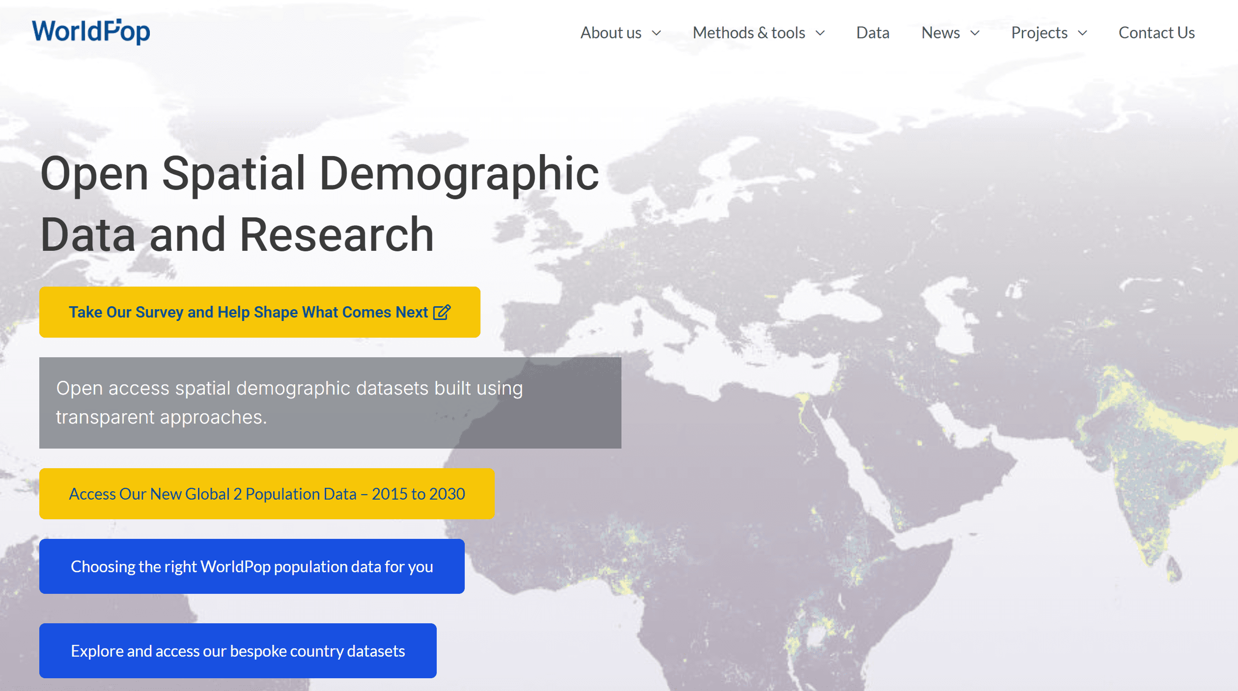
WorldPopHighly detailed gridded population data.
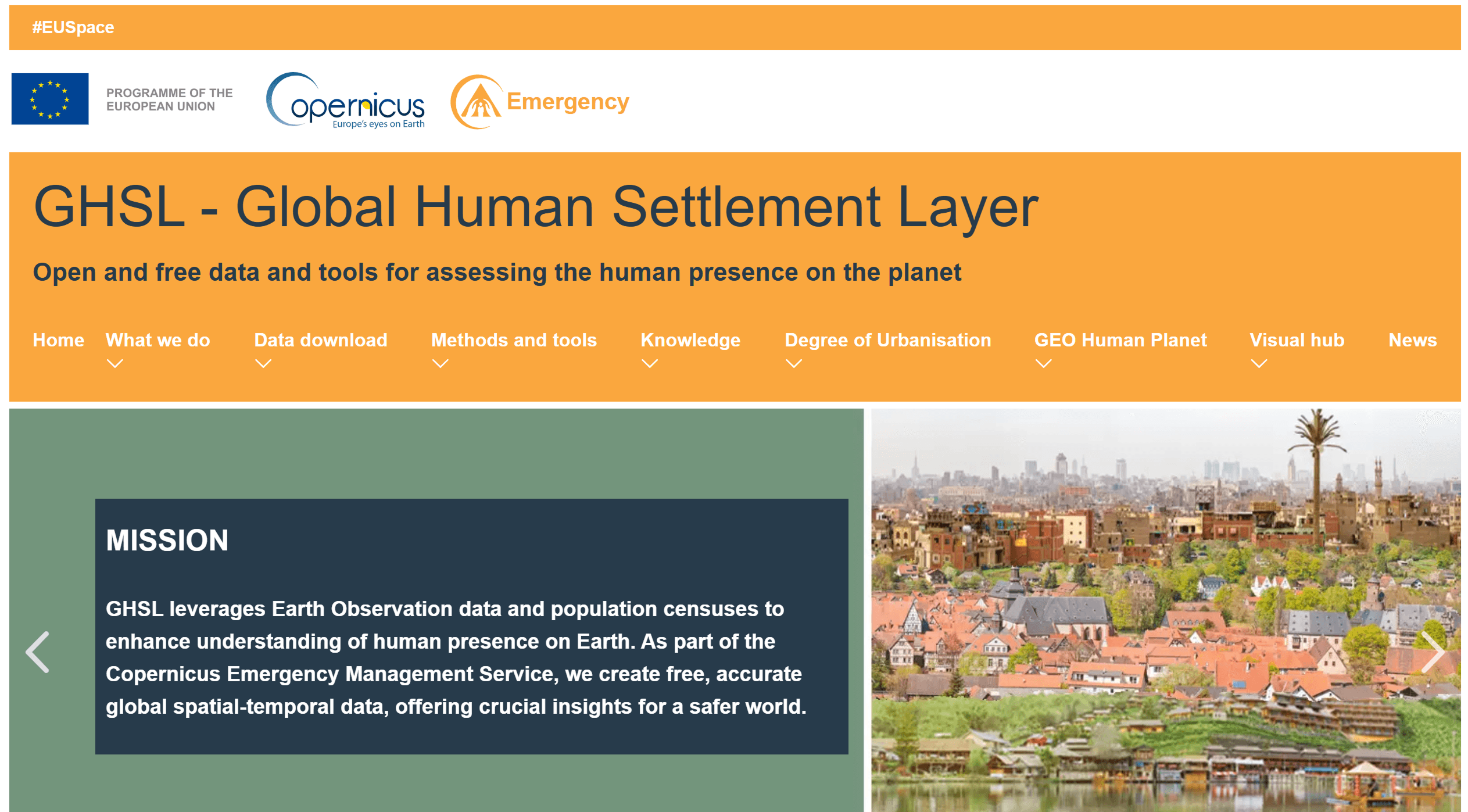
GHSL — Global Human Settlement Layer Population and development data suitable for urbanization analysis.
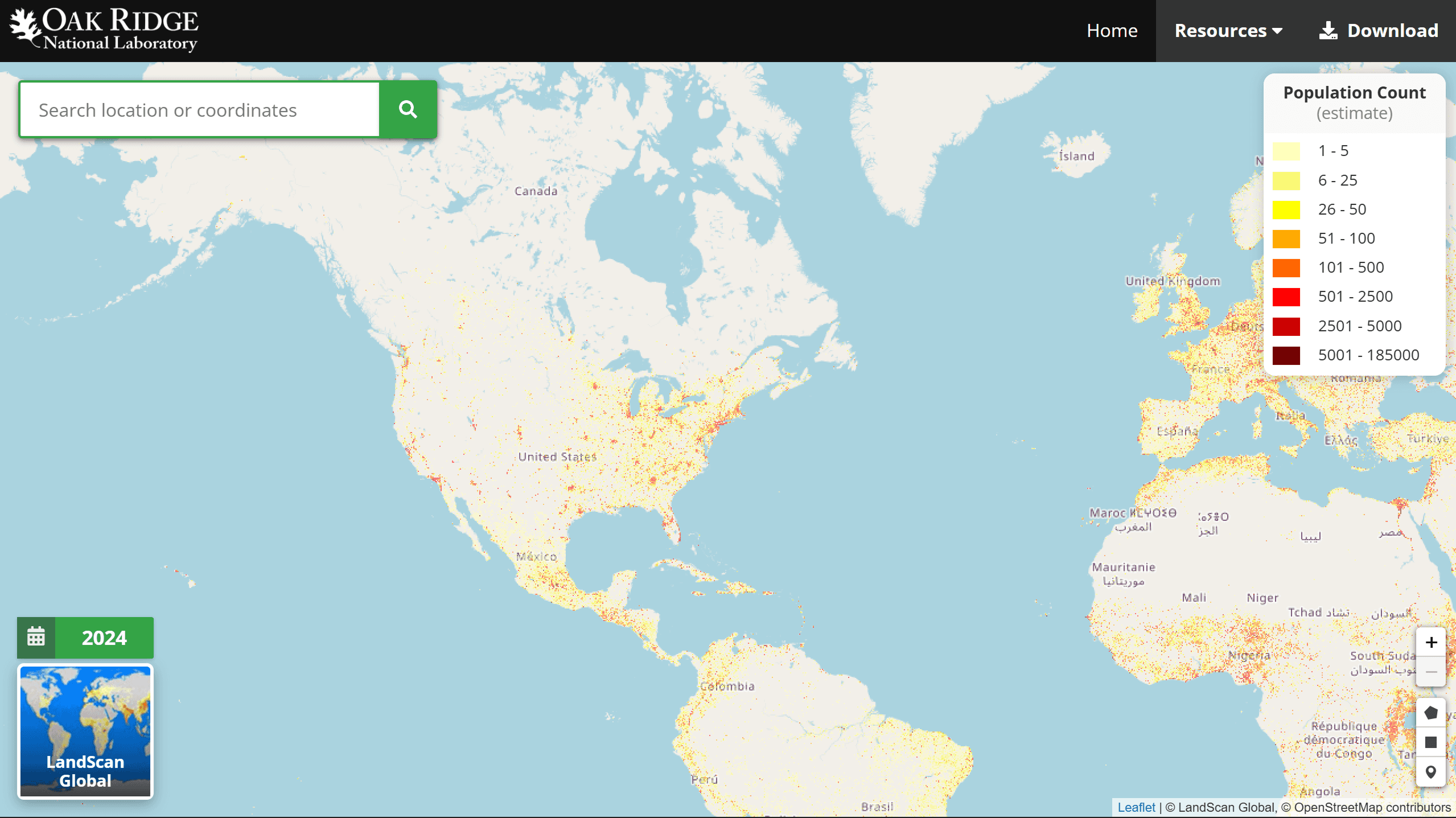
LandScan Models population distribution based on daily activity.
GPW — Gridded Population of the World A basic grid dataset for global research.
World Bank Aggregated demographic indicators by country.
UN Data International statistics, including population and urbanization.
Kontur Population Dataset Global population density in 400m, 3km, 22km H3 hexagons from GHSL, enhanced for humanitarian mapping.
Global sources are convenient for analysis at the country and regional level, but are inferior in accuracy to local data.
Local Data Sources
National and regional sources are considered the most accurate, as they are based on official statistics and censuses. They allow you to work with data at the level of regions, cities, and even individual districts.
The main types of local sources include:
government statistical services
national geoportals
open government data
municipal portals
Examples by country
Detailed data on population, households, and migration.

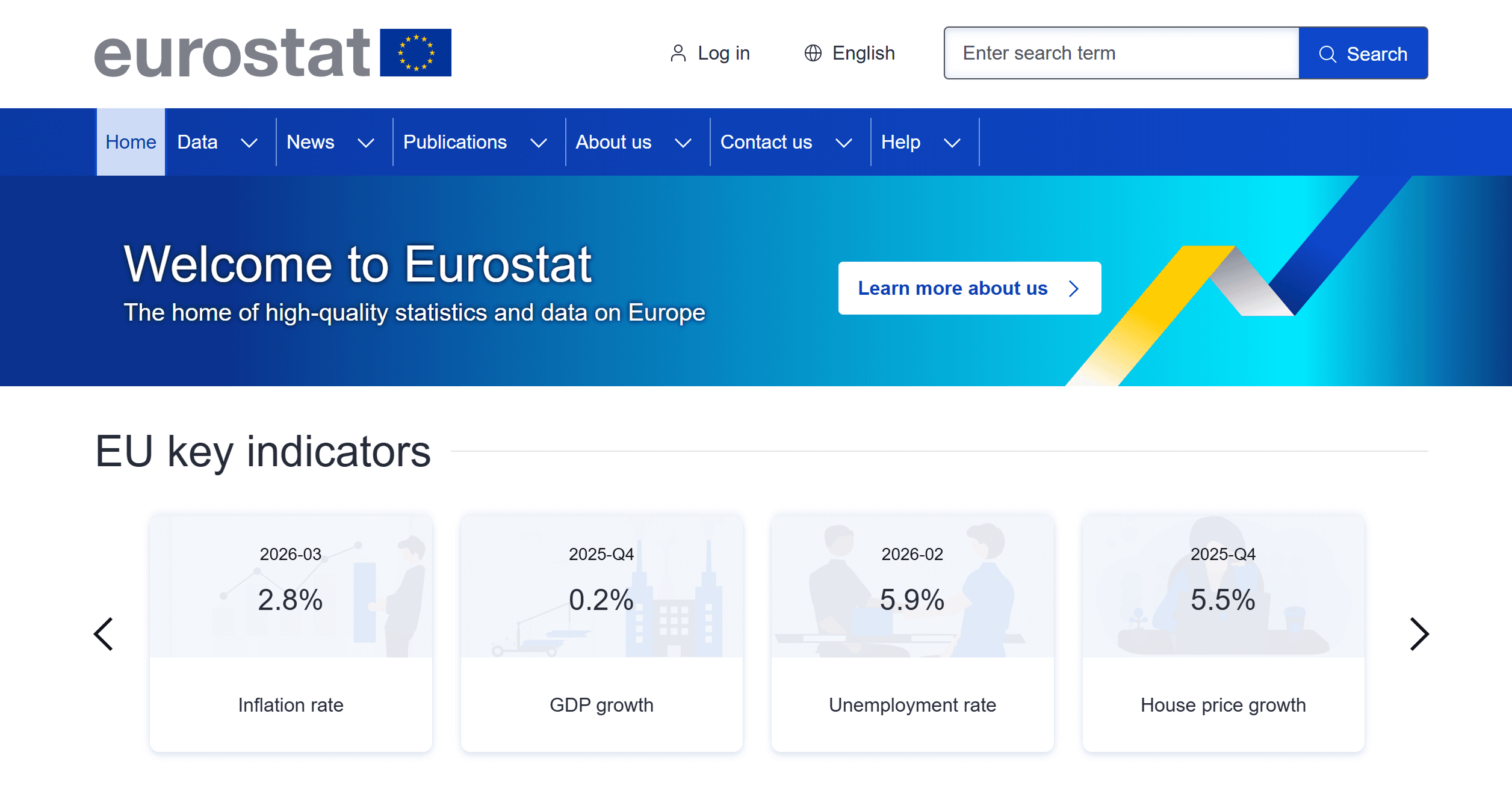
Data for EU countries, including demographics and urbanization.
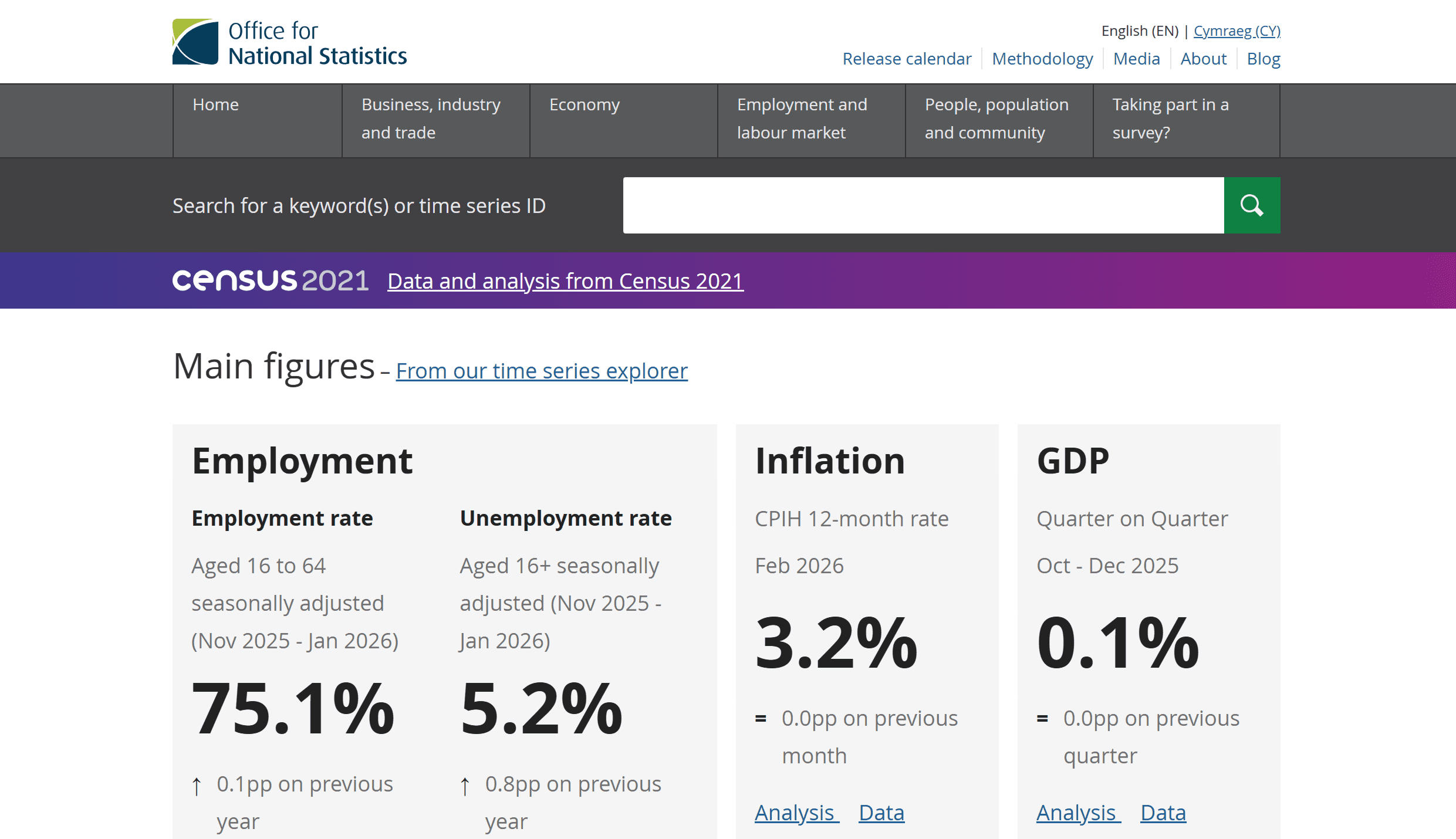
Office for National Statistics (UK)
Official census data and social indicators.
Destatis (Germany)
Federal statistics with regional breakdown.
INSEE (France)
Population data at the municipal level.

Highly detailed demographic data with additional social indicators.
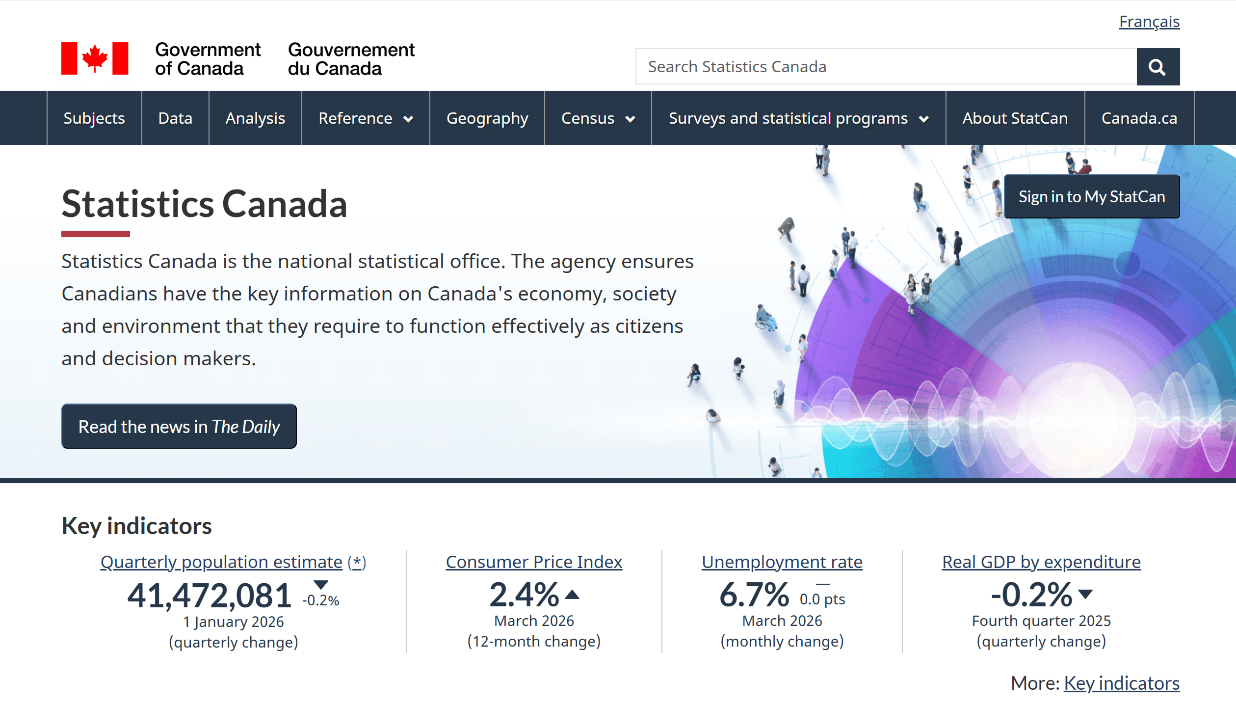
One of the largest sources of demographic data.
City and Regional Portals
City open data portals provide an additional level of detail:
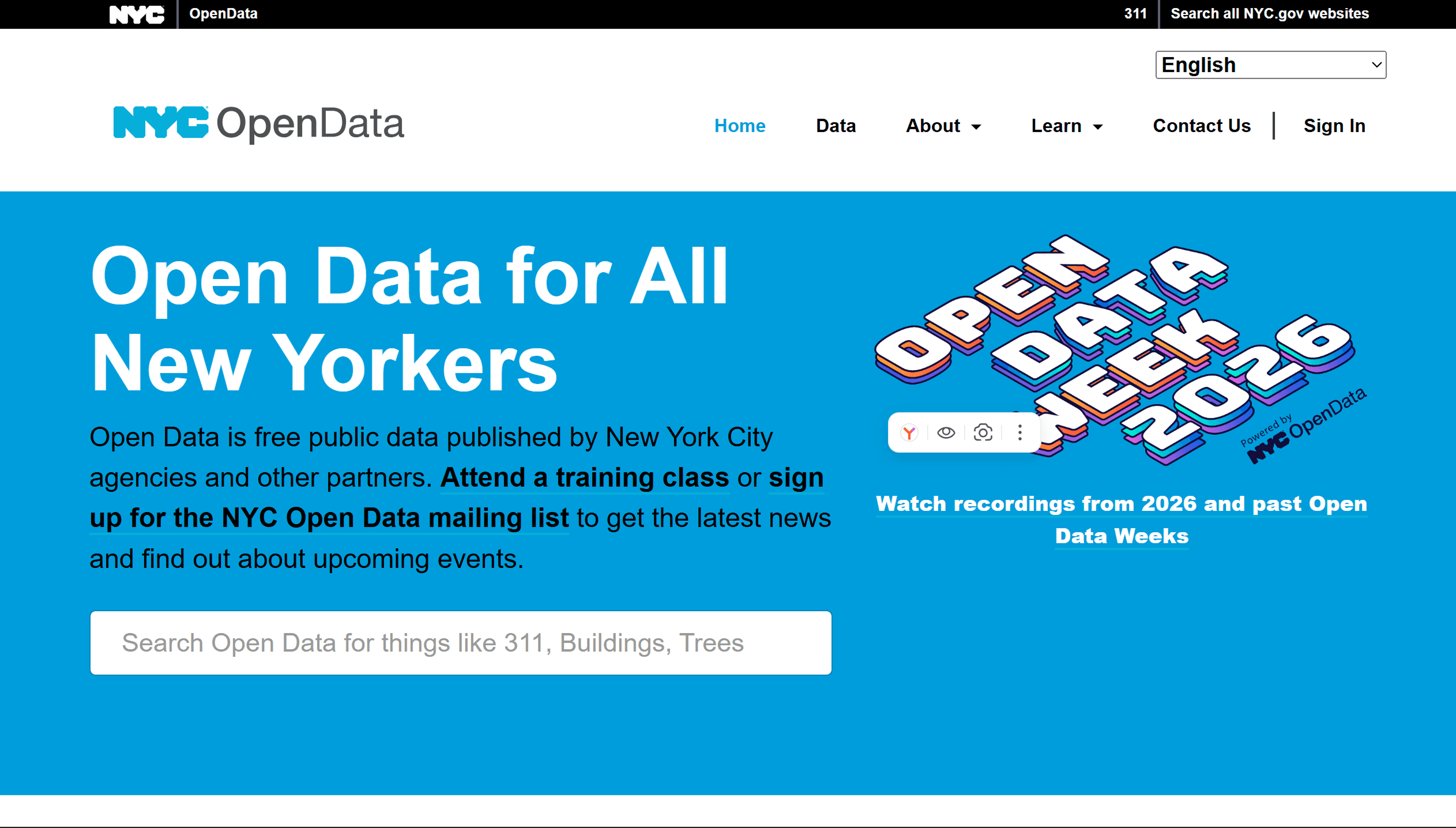

They provide data on population, infrastructure, and social characteristics. Features of Local Data
Advantages:
High accuracy
Detailed level
Official sources
Disadvantages:
Different formats
Complex integration
Limited comparability
Local data is best suited for detailed analysis.
City data and point sources
In addition to aggregated data, sources with information on populated areas are used.
GeoNames– Global database of populated areas.
SimpleMaps– Ready-made datasets of cities with population figures.
OpenStreetMap– Geometry of populated areas and infrastructure.
How to choose a data source
The choice depends on the task:
global analysis → WorldPop, GHSL
local analysis → national statistics
visualization → OSM + aggregated data
There is no universal source – it is important to consider the purpose of the analysis.
Limitations
When working with demographic data, it is important to consider:
differences in collection methods
data incomparability
obsolescence
Aggregated data can hide local characteristics.
FAQ
Which sources are best?
Global sources are for general analysis, local sources for detailed analysis.
Can a single source be used?
Most often, a combination of data is required.
Which data is the most accurate?
Official statistics at the national level.
Key Takeaways
Global and local sources complement each other.
The choice of data depends on the task and scale of the analysis.
Combining sources produces the most accurate results.


