Metro Coverage & Service Gaps – Vienna
Metro Coverage & Service Gaps – Vienna
Metro Coverage & Service Gaps – Vienna
POI analysis
Accessibility
Logistics
Location intelligence
Urban mobility
City planning
Service coverage
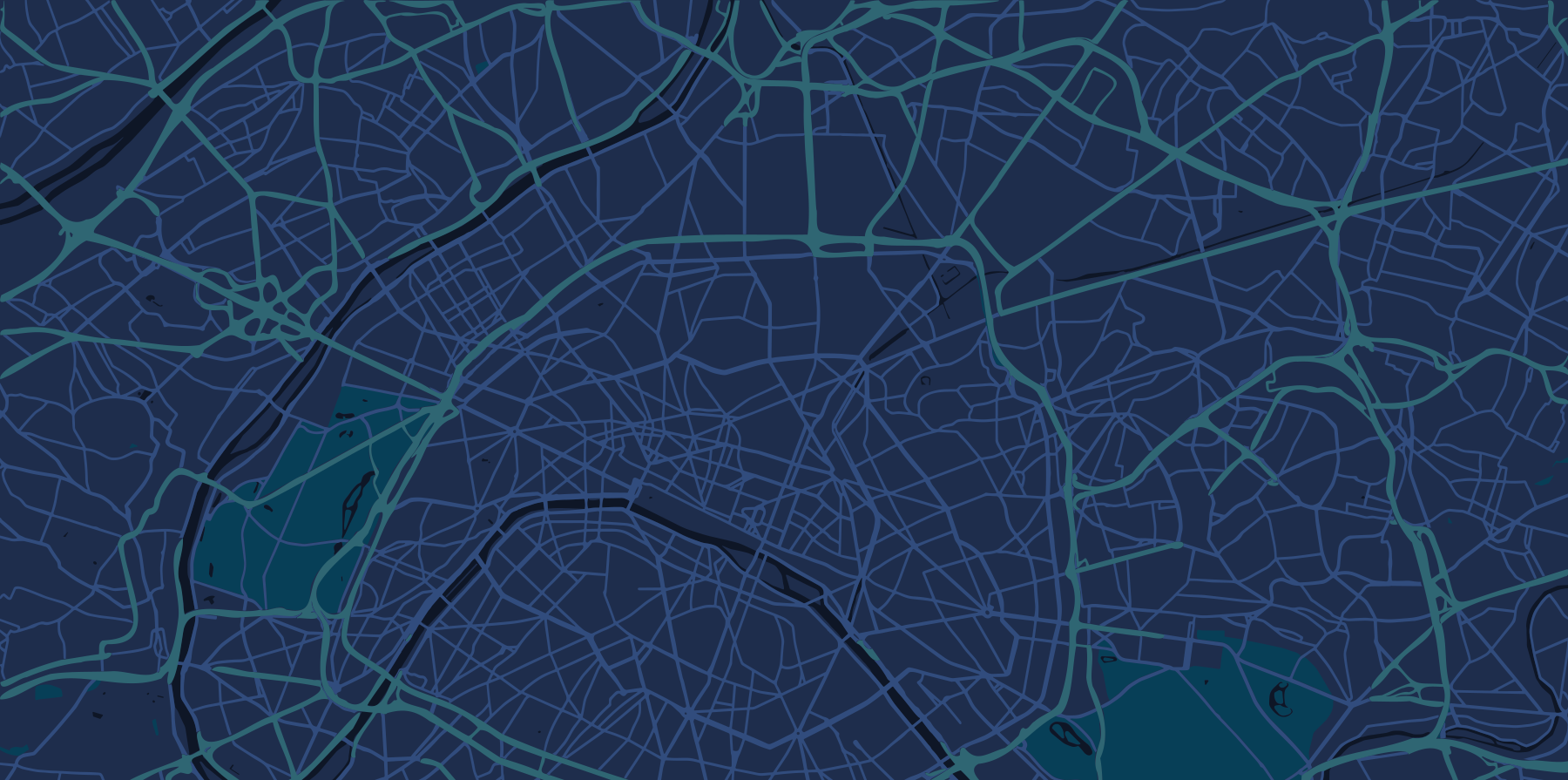
A detailed GIS map of Vienna that visualizes points of interest in relation to metro accessibility. Analyze walking distances, service coverage, and urban convenience through layered spatial data. This tool helps identify high-access zones, underserved areas, and optimal locations for businesses and urban services.
A detailed GIS map of Vienna that visualizes points of interest in relation to metro accessibility. Analyze walking distances, service coverage, and urban convenience through layered spatial data. This tool helps identify high-access zones, underserved areas, and optimal locations for businesses and urban services.