
Create a project and define the survey area
Upload LiDAR-derived DEM, DSM, canopy height rasters and 3D layers
Add buildings, parcels, power lines or assets for context
Share a 3D LiDAR view and collect feedback in one workspace
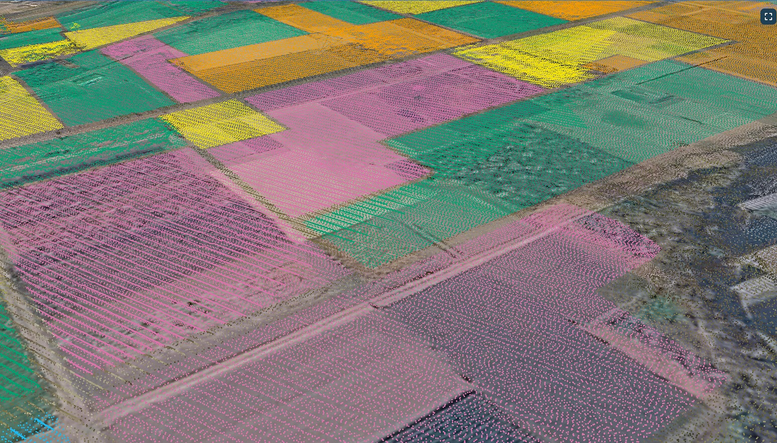

Bring processed LiDAR outputs and supporting layers into one data source.
Upload DEM, DSM and nDSM rasters as GeoTIFF
Add LiDAR point clouds and 3D models as 3D Tiles or LAZ files or connect WMS/WFS services
Publish layers from QGIS with the GISCARTA plugin
A web-based LiDAR viewer that anyone can open in the browser.
Explore terrain, buildings and vegetation in 3D
Raise building footprints to their LiDAR height, and color features by class or value
Show key indicators for each zone: heights, areas, counts
Step 1
Step 2
Step 3
Step 4
What is LiDAR data used for in GIS?
LiDAR data is used in GIS to model terrain, measure building and tree heights, and map vegetation, flood risk and infrastructure in 3D. Planners, utilities, foresters and engineers rely on it because it is far more accurate than satellite elevation data.
