
Artificial intelligence is increasingly being integrated into everyday life, and it hasn't bypassed the field of geoinformation technologies. While spatial data analysis previously required extensive manual work, today many processes can be automated using AI and machine learning.
AI's development is particularly noticeable in tasks related to satellite imagery, urban analytics, agriculture, and environmental monitoring.
Why AI has become important for GIS
Modern GIS projects work with enormous volumes of data:
satellite imagery;
drone data;
GPS tracks;
climate observations;
infrastructure layers;
IoT sensors;
DEMs and elevation models.
Manually processing such volumes is becoming difficult. AI allows for faster analysis and automation of routine tasks. The main advantages of AI in GIS are:
automatic object recognition;
change analysis;
forecasting;
spatial pattern detection;
working with big geodata;
real-time data processing.
AI is especially useful in projects where data is constantly updated or large areas need to be analyzed.
Satellite Image Analysis and Computer Vision
One of the most popular areas of AI in GIS is satellite imagery processing. Neural networks can automatically recognize buildings, roads, bodies of water, forests, and agricultural fields.
Previously, such tasks were often performed manually by digitizing objects. Today, computer vision makes this process automated and significantly faster.
For example, the Microsoft AI for Earth project uses AI to analyze the environment, forests, and land use based on satellite data.

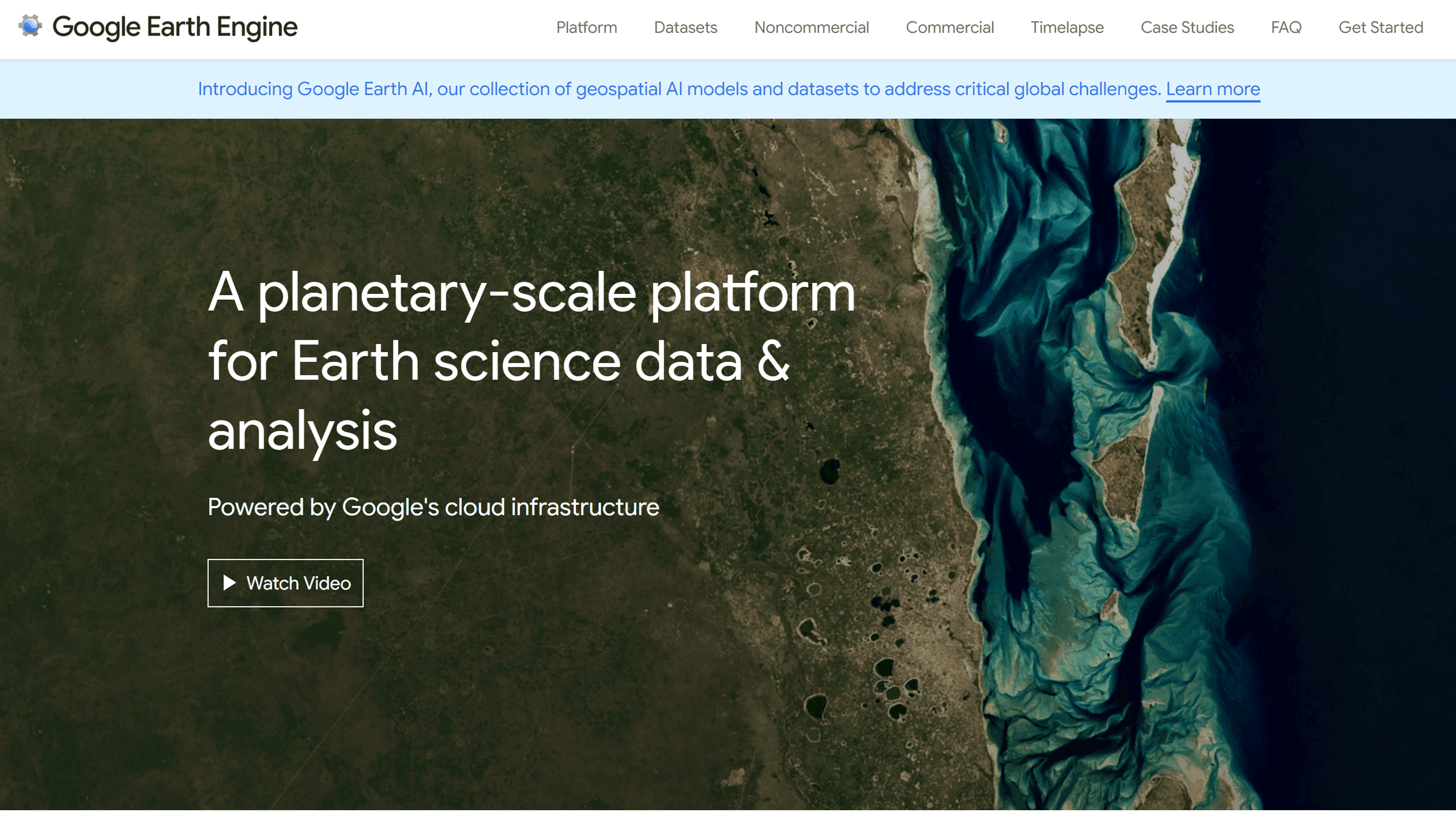
The Google Earth Engine platform also actively uses machine learning for global analysis of the Earth's surface and land cover classification.
AI models allow for:
automatic classification of territories;
identifying changes over time;
analyzing urbanization;
monitoring the effects of disasters.
AI in Agriculture
Agriculture is one of the areas where AI is most actively interacting with GIS. Modern geoanalytical systems use satellite imagery and AI to analyze:
crop condition;
field use;
moisture;
irrigation;
land degradation;
yield.
For example, AI can automatically identify:
unused fields;
plant stress;
problem areas;
changes in crop condition.
For this purpose, the following are often used:
NDVI;
multispectral imagery;
time series of satellite data.
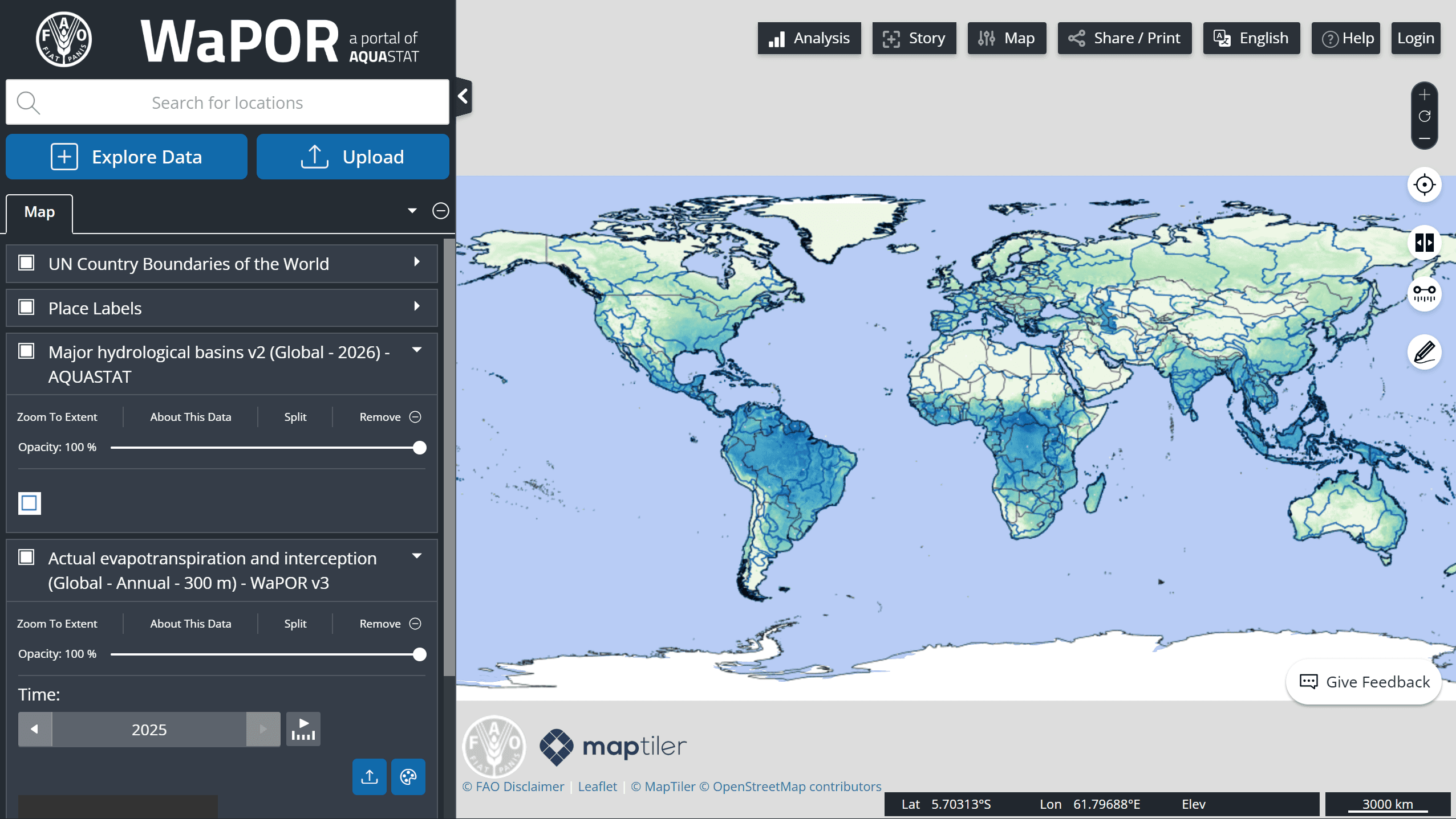
The FAO WaPOR platform uses satellite data to monitor agricultural productivity and water resource use.
Such systems help:
reduce costs;
optimize fertilizers;
improve planning;
forecast yields.
In precision agriculture, AI is becoming one of the main analytical tools.
AI in Urban Analytics
Cities generate vast amounts of spatial data, such as traffic flows, population mobility, infrastructure, and more.
AI helps analyze this data and identify spatial patterns. For example, machine learning is used to:
predict traffic congestion;
analyze transportation accessibility;
assess neighborhood development;
find optimal locations;
analyze urban density.
The World Bank CityScan project demonstrates the use of spatial analytics and AI for assessing urban infrastructure and planning.
AI is also actively used in:
geomarketing;
real estate analytics;
smart city systems.
Ecology and Emergencies
AI significantly improves environmental monitoring and natural hazard analysis. AI is used to analyze:
forest fires;
floods;
deforestation;
droughts;
landslides;
air pollution.
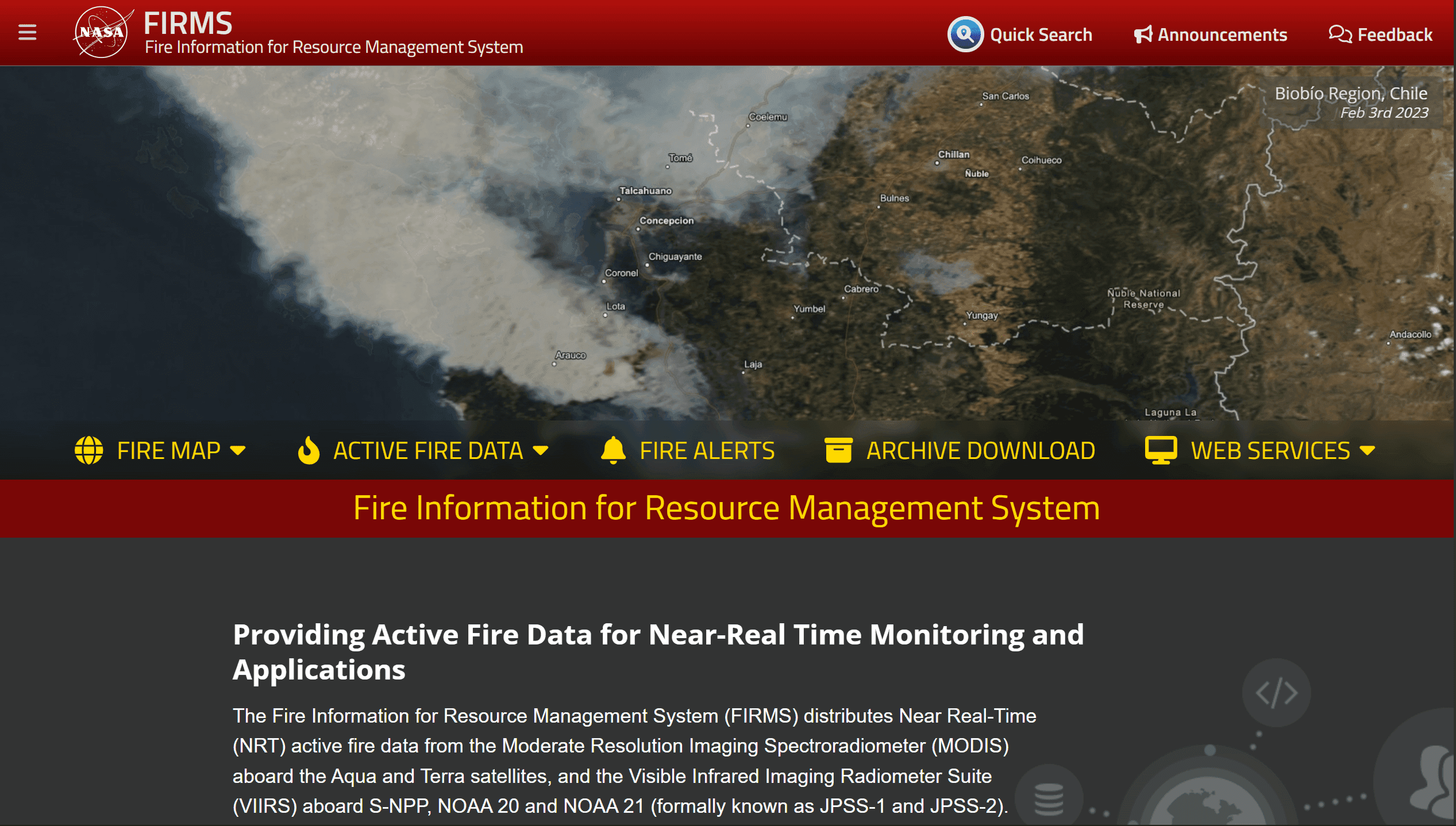
NASA's FIRMS platform uses satellite data and automated processing to monitor fires in near real time.
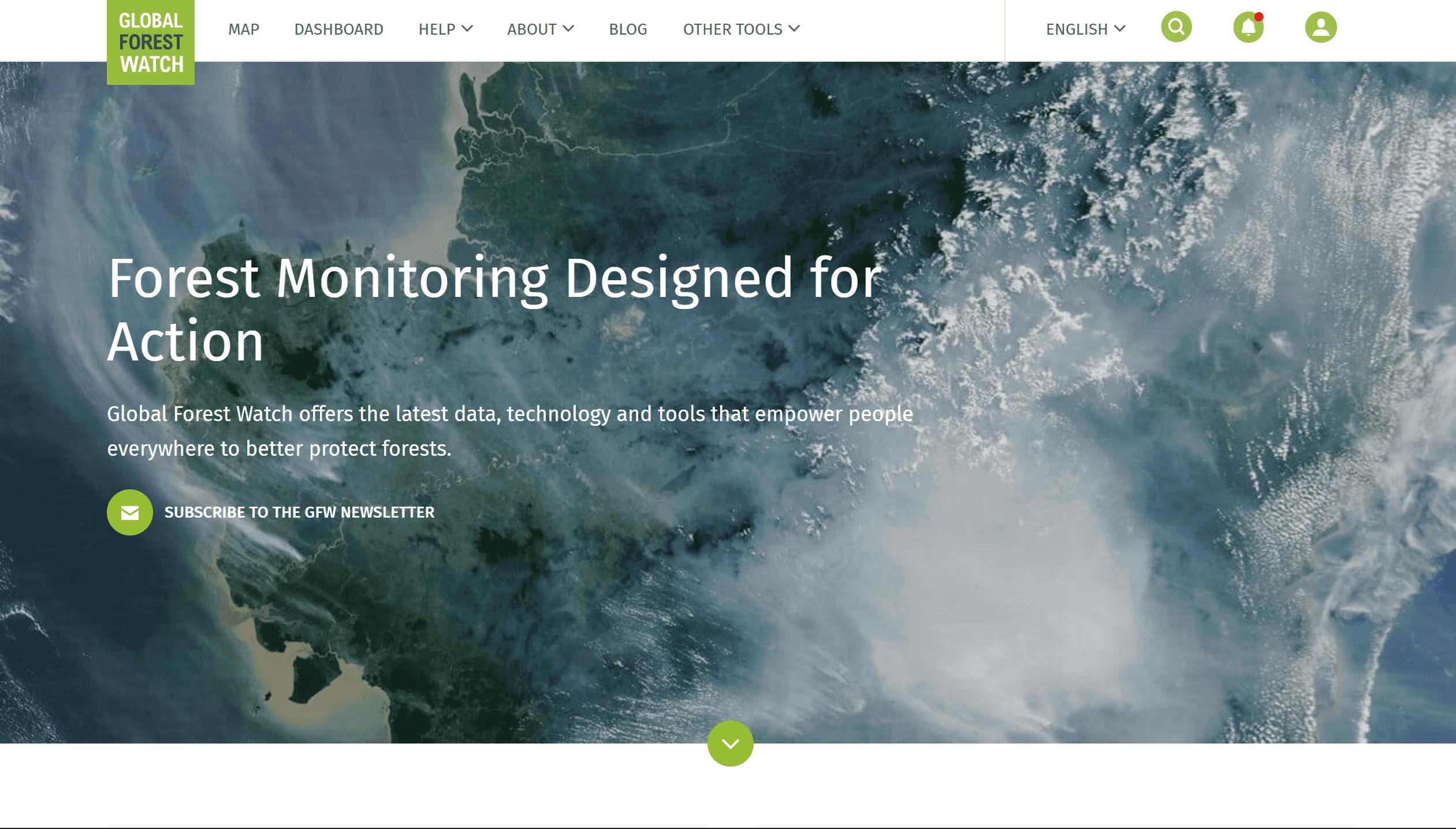
The Global Forest Watch service uses AI and satellite analysis to track forest loss and land-use change.
AI is especially useful in emergency management, where the following are important:
processing speed;
data updating;
automatic change detection;
situational forecasting.
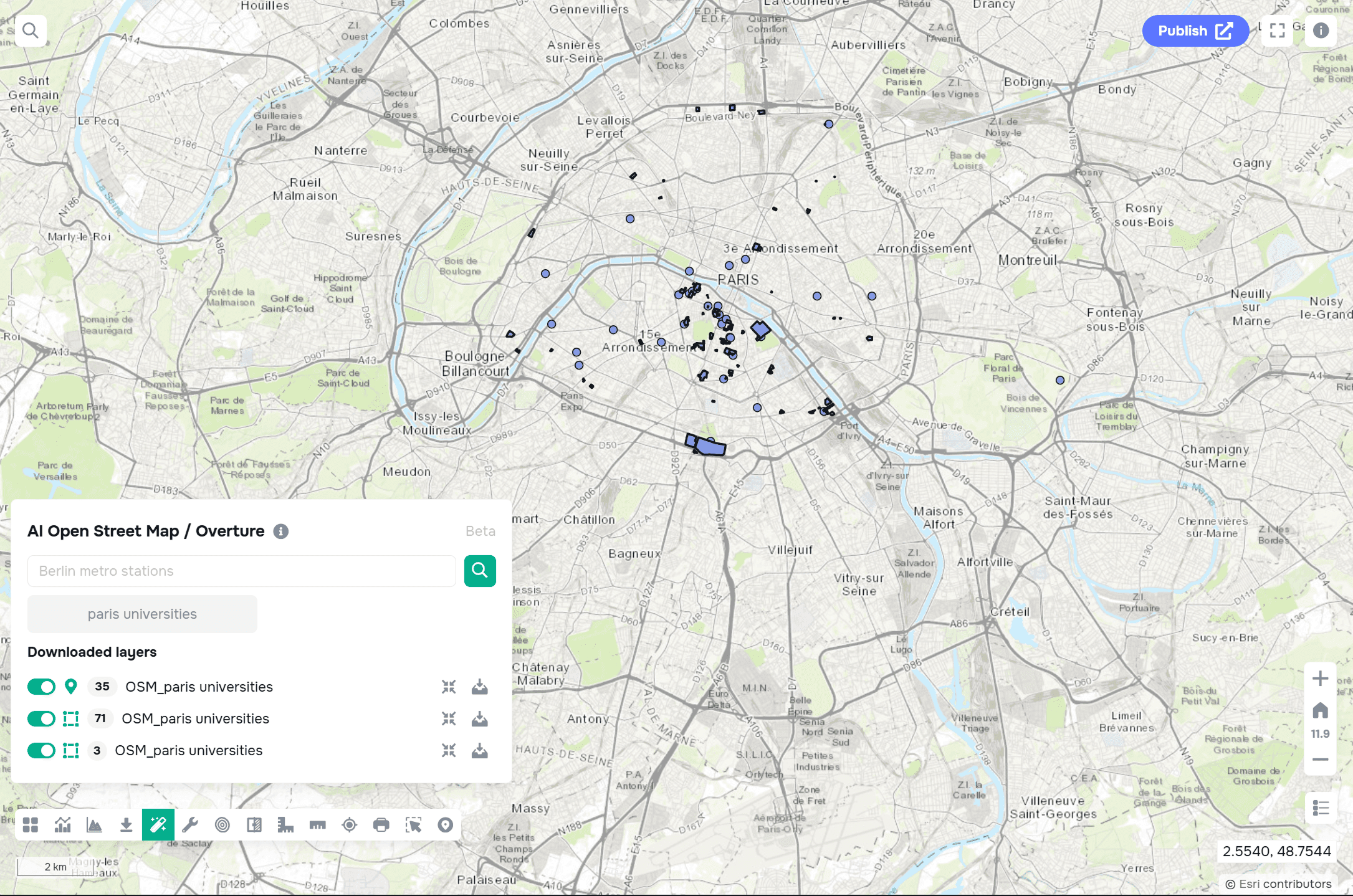
AI and the Geodata AI Widget in GISCARTA
AI is gradually becoming a part of modern web GIS platforms.
The GISCARTA platform uses the Geodata AI widget, which helps simplify work with spatial data and automate some processes. Downloading data from open sources like OpenStreetMap, Overture Maps, and Kontur has never been easier. Simply enter a request with the name of the object category you want to download and the location of those objects.
Limitations of AI in GIS
Despite its rapid development, AI in GIS has its limitations. The quality of results depends on:
the quality of the training data;
image resolution;
regional specificity;
model accuracy.
The same model may produce different results in different countries or environmental conditions. Therefore, AI does not replace GIS specialists but rather becomes a tool to support analysis.
FAQ
Can AI completely replace GIS analytics?
No. AI helps automate analysis, but interpreting the results still requires expertise.
Where are AI and GIS most actively used?
In agriculture, urban analytics, ecology, logistics, and emergency management.
Can AI be used without programming?
Yes. Many modern web GIS platforms already integrate AI tools directly into the interface.
Key Takeaways
AI helps automate the processing of large volumes of geodata.
Computer vision is actively used to analyze satellite imagery.
In agriculture, AI analyzes field conditions, land use, and crop yields.
AI is increasingly being integrated directly into web GIS platforms, including GISCARTA.
Artificial intelligence speeds up analysis, but still requires expert review of the results.


