
Geographic information systems are gradually moving from the desktop to the browser. Today, working with spatial data no longer requires installing complex software; simply open a web platform. Web GIS makes analysis more accessible, speeds up work, and allows you to share results with other users.
However, this raises a new question: which platform to choose for which tasks?
What is Web GIS and why is it needed?
Web GIS is a web-based geographic information system. It allows you to upload, analyze, and visualize data directly in the browser.
Key advantages:
Access from anywhere
Collaboration
No complex setup
Quick project launch
These solutions are especially in demand in analytics, business, and urban management.
ArcGIS Online
ArcGIS Online is one of the most popular cloud GIS platforms. It is part of the Esri ecosystem and is focused on corporate and government projects.
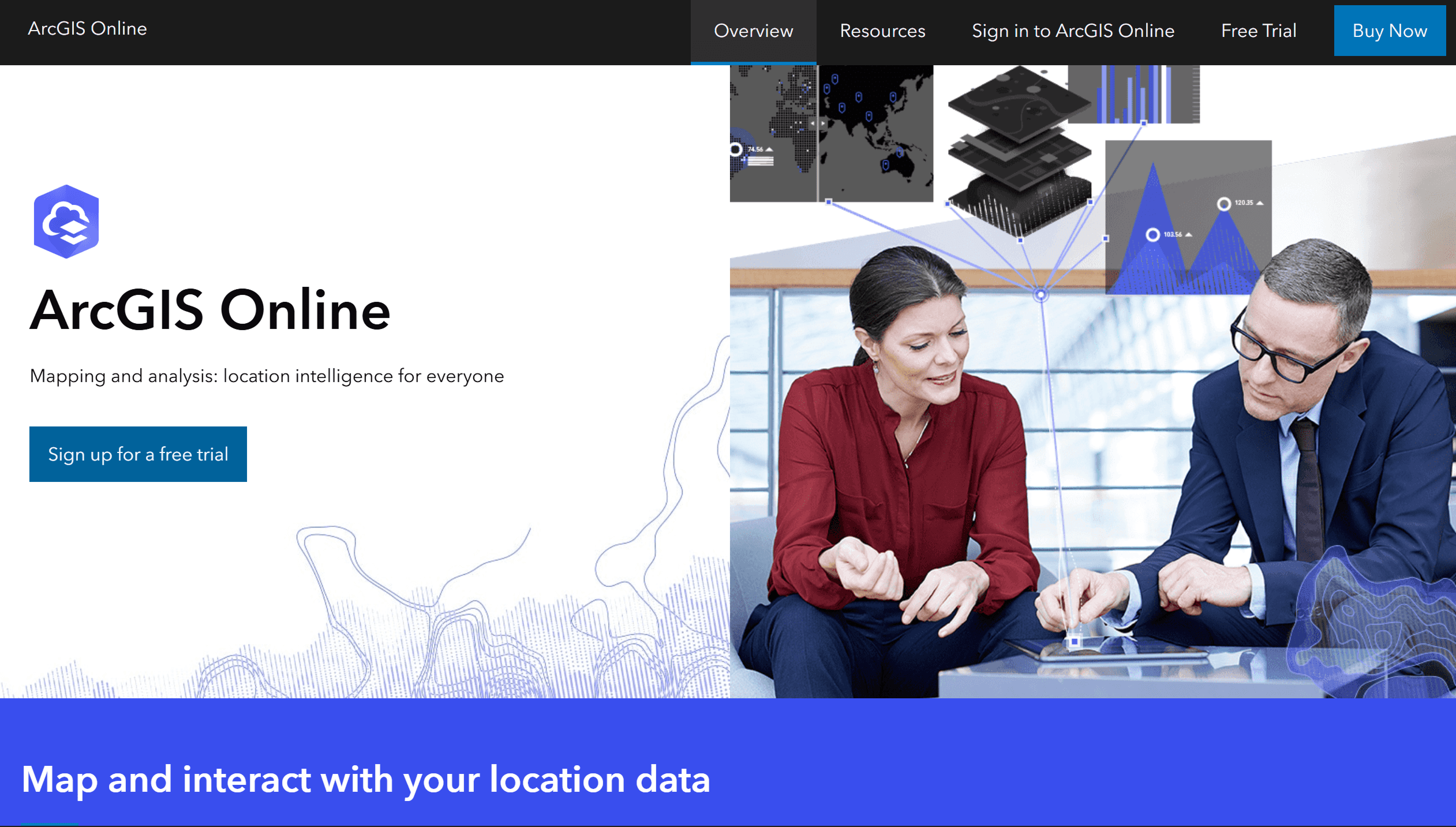
The platform offers a wide range of tools, from visualization to complex spatial analysis. Users can create maps, dashboards, conduct analysis, and share results.
ArcGIS Online's strengths include its depth of functionality and integration with other Esri products. However, this also makes the platform challenging for beginners. Furthermore, licensing costs can be high, especially for small teams.
Mapbox
Mapbox is a developer-focused platform. It provides tools and APIs for creating custom maps and integrating them into web and mobile apps.
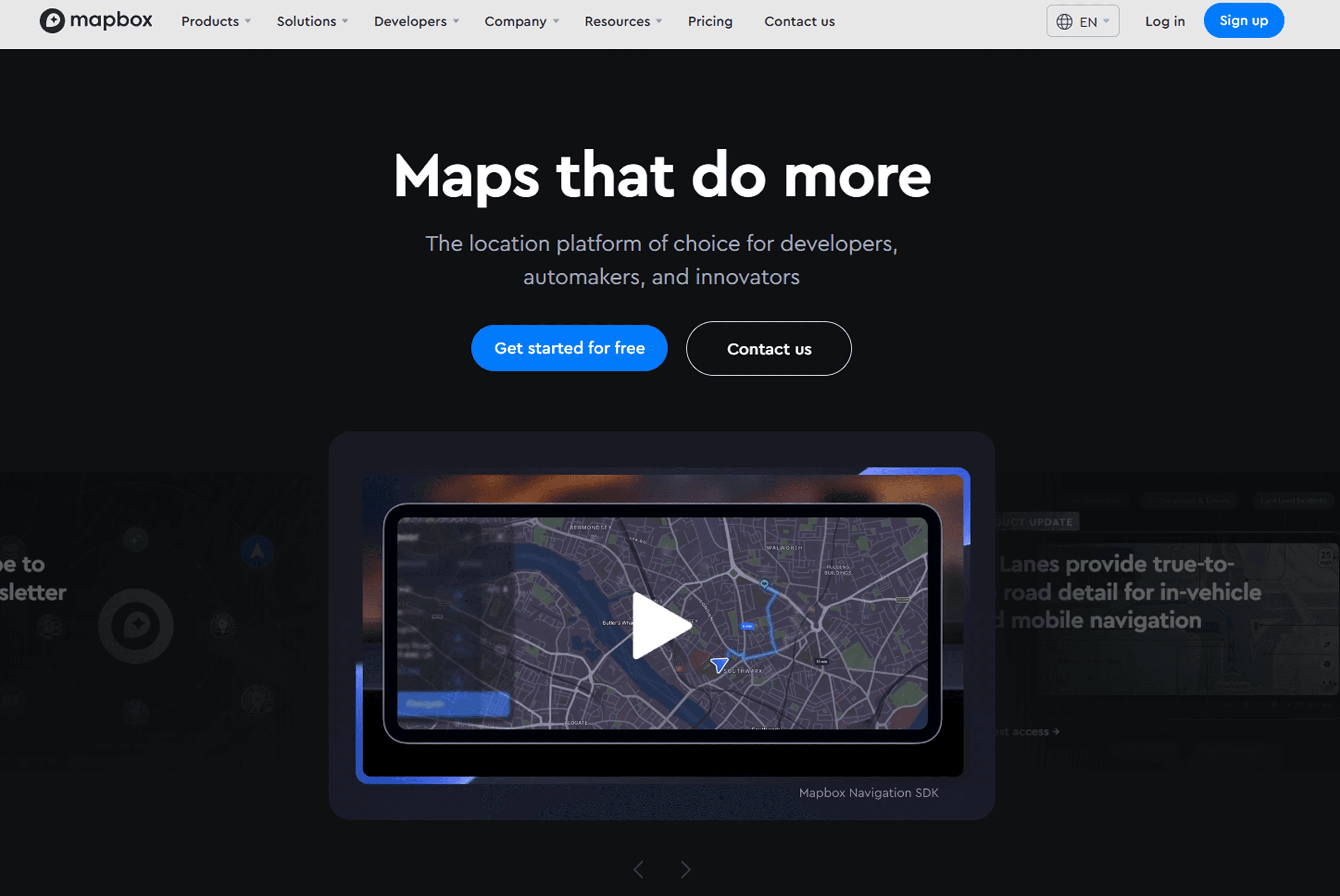
Mapbox's main advantage is its flexibility. You can completely control the map's appearance and interface behavior. This makes the platform popular among companies creating their own products.
A disadvantage is that Mapbox often requires programming skills. Furthermore, the platform is less suitable for classic spatial analysis.
CARTO
CARTO is a platform focused on geodata analysis and working with large volumes of information. It integrates with cloud data warehouses such as BigQuery or Snowflake.
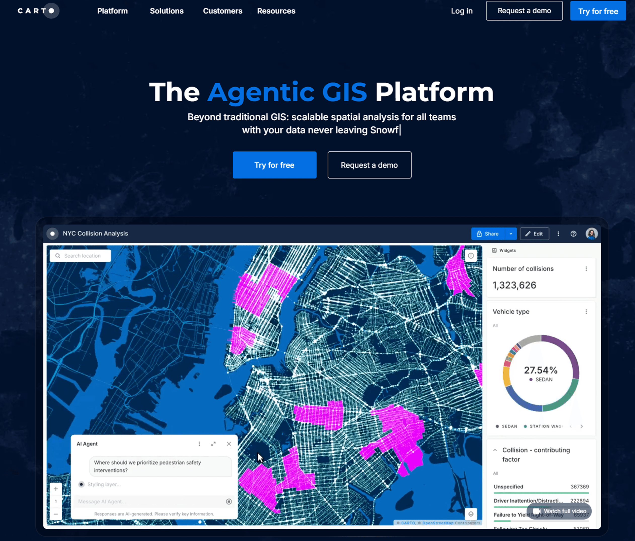
CARTO is often used in business analytics and geomarketing, where data manipulation and visualization are essential. The platform allows for the construction of complex analytical scenarios and the integration of geodata with other sources.
On the other hand, CARTO requires an understanding of data and can be challenging for users without analytical experience. Its use is also subject to cloud infrastructure and cost.
GISCARTA
GISCARTA is a web mapping platform designed for data visualization and analysis without the need for complex configuration. It allows you to quickly create maps, add layers, and customize dashboards right in your browser.
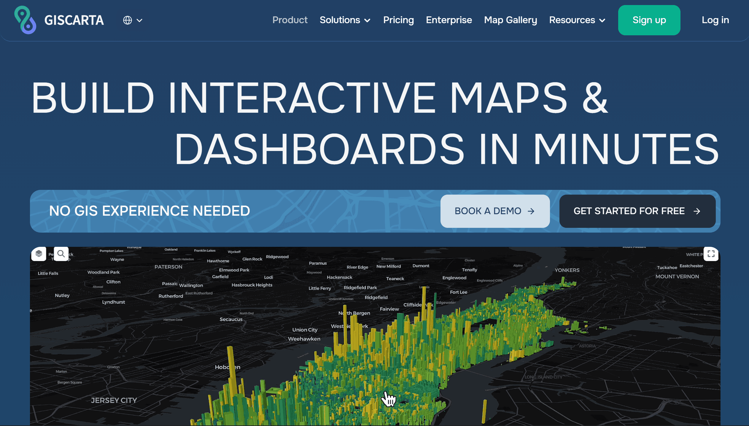
The platform is suitable for analytical tasks, presentations, and everyday work with geodata. Its key advantage is its simplicity. Users can get started almost immediately, without setting up an environment or writing code.
Its limitations include less flexibility than developer-oriented platforms. However, for most visualization and analysis tasks, this functionality is sufficient.
How to Choose the Right Platform
The choice of a web GIS platform depends primarily on the tasks to be solved, not the tool's popularity. Different solutions are designed for different scenarios, from in-depth analysis to quick visualization.
If complex spatial analysis, large projects, and integration into corporate infrastructure are required, ArcGIS Online is a logical choice. This platform offers the broadest functionality, but requires some time to learn.
For developing custom mapping applications, solutions like Mapbox are more suitable, where flexibility and full customization are important. However, this approach requires technical skills.
If your primary focus is working with data and analytics, especially in conjunction with cloud storage, consider CARTO. It's well suited for geomarketing and data-driven analysis.
For tasks related to visualization, presentation, and rapid project launches, solutions with a low entry barrier, such as Atlas or GISCARTA, are more convenient. They allow you to focus on working with data rather than configuring tools.
Most real-world projects use not just one platform, but a combination of several, each solving its own part of the problem.
Web GIS Limitations
Despite their convenience, web solutions have their limitations. They rely on an internet connection, may have customization limitations, and sometimes require payment when scaling projects. Furthermore, not all complex analytical tasks are conveniently performed in a browser.
Platform | Best For | Level | Pricing Model | Key Strength |
ArcGIS Online | Enterprise GIS, advanced analysis | Advanced | Subscription (paid, credits) | Powerful analytics & ecosystem |
Mapbox | Custom apps, developers | Advanced | Pay-as-you-go | High customization & APIs |
CARTO | Data analytics, big data | Intermediate | Subscription / usage-based | Strong data integration & analytics |
GISCARTA | Fast analysis & visualization | Beginner–Mid | Freemium / subscription | Easy setup & web-based workflows |
FAQ
Can I use multiple platforms in a single project?
Yes, this is common practice. For example, one platform can be used for analysis and another for visualization.
Why doesn't Web GIS always replace desktop solutions?
Some complex analytical tasks are still more conveniently performed in desktop GIS due to their flexibility and control.
How do you know if a platform is unsuitable?
If basic tasks require too much time or workarounds, it's worth considering an alternative.
I recommend choosing indicators that answer the dashboard's main question. Everything else is best left in charts or filters.
Key Takeaways
Web GIS makes working with geodata faster and more accessible.
Different platforms are suitable for different tasks, from development to analytics.
The choice of a tool should be based on the tasks, not the popularity of the solution.


