
Historical data is essential in mapping projects that require analyzing how territories, infrastructure, or natural processes have changed over time. Unlike current datasets, historical layers allow us to track urban development and landscape changes over decades and even centuries.
What is Historical GIS Data
Historical data is spatial information describing the past state of a territory or object. This data includes:
old maps
archival aerial photographs
historical satellite images
old administrative boundaries
demographic statistics
transportation networks
land use data
Unlike modern data, historical materials are often incomplete, inaccurate, or exist only in paper form. Therefore, GIS is used not only for analysis but also for digitization and restoration of information.
Main Types of Historical Data
Historical Maps
Historical maps are one of the main sources of spatial information about the past. Many archives and libraries have already digitized their collections, so these maps can be used in GIS after georeferencing.
However, old maps often contain geometric distortions and therefore require additional processing.
Aerial Photography
Archival aerial photographs provide a detailed view of an area even before the availability of satellite data.
Many countries have national archives of aerial photography spanning several decades.
Historical Satellite Imagery
Satellite archives allow us to analyze changes dating back to the 1970s.
The most popular sources are:
Landsat
Sentinel
NASA EarthData
Such data is used to monitor:
urbanization
vegetation changes
glacier melt
changes in water bodies
Administrative and Statistical Data
Historical demographic and administrative data are also widely used in GIS.
This can include:
population censuses
old municipal boundaries
economic statistics
archival cadastral data
When combined with maps, they help visualize territorial development and social change.
Where to find historical GIS data
David Rumsey Map Collection

One of the largest collections of historical maps. Contains thousands of digitized and georeferenced materials from different countries and eras. Suitable for:
historical cartography
urban research
educational projects
Library of Congress

The archive contains historical maps, aerial photographs, and geographic documents from various regions of the world.
Old Maps Online

A platform that brings together historical cartographic collections from various archives and libraries. It allows you to search maps by territory and time period.
USGS Earth Explorer
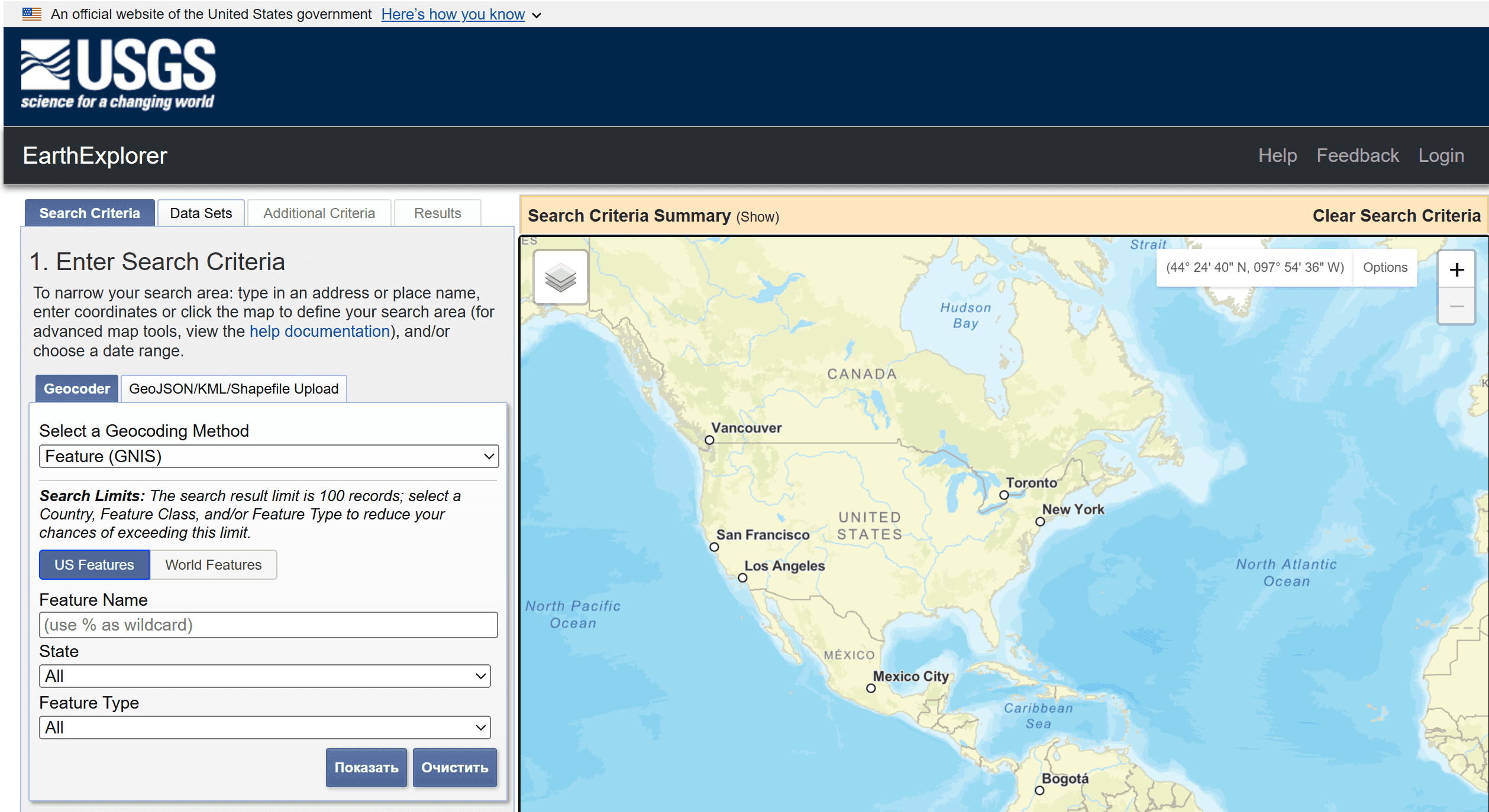
A source of archival satellite imagery and aerial photography, including Landsat. Actively used for:
environmental analysis
change monitoring
landscape and terrain studies
OpenHistoricalMap

An open source project, inspired by OpenStreetMap, that collects historical geodata and historical objects.
Difficulties in Working with Historical Data
Historical GIS data almost always requires additional preparation. Main problems:
lack of precise coordinates
different coordinate systems
incomplete coverage of the territory
low-quality scans
lack of metadata
Most often, georeferencing is required—the process of comparing an old map with a modern coordinate system. In many cases, manual digitization of objects is also necessary.
How Historical GIS Data is Used
Urbanists analyze city growth using old cadastral maps. Ecologists study changes in forests and coastlines. Archaeologists reconstruct ancient settlements using aerial photographs and terrain models.
Historical maps are also increasingly used in storytelling projects and digital museums, where GIS helps visualize historical events and spatial changes.
FAQ
Why are old maps difficult to use in GIS?
Because they often lack precise coordinates and require georeferencing.
Can historical satellite imagery be analyzed?
Yes. For example, the Landsat archive allows us to study changes over several decades.
Is historical GIS data open?
Many archives provide data free of charge, but the terms of use vary depending on the specific source.
Key Takeaways
Historical GIS data helps analyze territorial changes over time.
The main sources are old maps, aerial photography, and satellite archives.
Historical data almost always requires preparation and georeferencing.
GIS makes historical analysis more visual and interactive.


