
WFS vs OGC API – Features: What Is the Difference?
Both WFS and OGC API – Features provide access to geographic features rather than just a rendered map image. This means applications can work with individual points, lines, polygons and their attributes.
The main difference is how these services are designed. WFS is a classic OGC web service built around defined operations and commonly associated with XML and GML. OGC API – Features follows a more modern web API approach based on HTTP resources, links and API discovery, with GeoJSON and HTML recommended where practical.
Quick Answer
Choose WFS when you need compatibility with existing GIS software and infrastructure built around classic OGC services.
Choose OGC API – Features when you are building a modern web application or API and want a more web-native way to access vector features.
For new web-based projects, OGC API – Features is generally the more modern choice. For existing GIS infrastructure, WFS can still be the most practical option.
WFS vs OGC API – Features
Category | WFS | OGC API – Features |
Main purpose | Access to geographic features | Access to geographic features |
Architecture | Classic OGC web service | Modern web API |
Typical interaction | Defined service operations | HTTP resources and endpoints |
Common data format | GML and other supported formats | GeoJSON, HTML and other supported encodings |
API discovery | GetCapabilities and related operations | Landing page, conformance and API definition |
Querying features | Yes | Yes |
Filtering | Supported by the standard and extensions | Supported through additional parts, including Filtering |
Editing | Possible with transactional WFS implementations | Requires additional API parts |
Best for | Existing OGC-based GIS infrastructure | Modern web applications and APIs |
WFS defines discovery, query, locking and transaction operations. OGC API – Features separates capabilities into modular parts, with Core focused on discovering and retrieving features and additional standards adding capabilities such as other coordinate reference systems and filtering.
What Is WFS?
WFS stands for Web Feature Service. It provides direct access to geographic features and their properties. Instead of requesting a rendered map, a client can request the actual vector objects stored on the server.
A WFS service can provide points, lines and polygons together with attribute information. Clients can query individual features or apply conditions to retrieve only the required data. WFS also defines transactional operations, allowing compatible implementations to create, modify and delete features.
One of the main advantages of WFS is its maturity and broad adoption across traditional GIS systems. Its main limitation is that its interface was designed around the classic OGC service model rather than the conventions commonly used in modern web APIs.
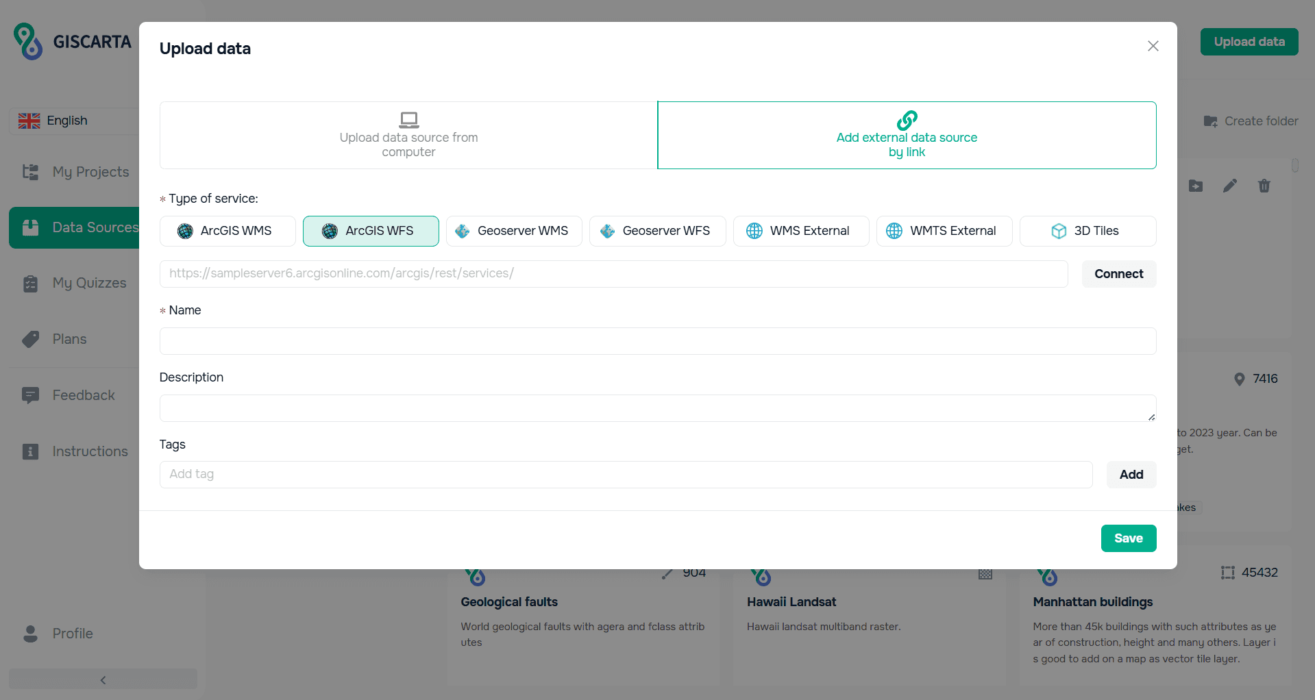
Adding external data sources to GISCARTA
What Is OGC API – Features?
OGC API – Features is the newer OGC standard for providing web access to geographic features. Instead of defining a large set of service operations, it organizes data as web resources that can be discovered and accessed using standard HTTP methods.
The API provides resources such as a landing page, conformance information and feature collections. Clients can request individual features or collections using predictable URLs. HTML and GeoJSON are recommended encodings where practical, making the service easier to consume in web applications and modern software environments.
OGC API – Features is modular. The Core provides basic discovery and feature retrieval, while other parts extend the standard with capabilities such as additional coordinate reference systems and filtering.
The Key Difference
The biggest difference is not the data itself. Both standards can provide access to the same geographic features. The difference is the interface used to expose that data.
WFS follows the established OGC service model. OGC API – Features follows modern web API principles and is designed to fit more naturally into contemporary web development workflows.
A simple way to think about it:
WFS is the traditional GIS interface for feature services.
OGC API – Features is the modern web API approach to the same general problem.
WFS and OGC API – Features in GISCARTA
GISCARTA supports external GIS data sources and OGC-based services as part of a web GIS workflow. The platform can connect external vector services such as WFS and use their data together with other layers in a project.
This is particularly useful when a dataset is already published through an external GIS server and does not need to be downloaded manually before adding it to a map.
For OGC API – Features, the practical advantage is most relevant when an external provider exposes vector data through a modern web API. In such cases, the service can be used as a web-oriented alternative to a traditional WFS connection.
Common Mistakes
Assuming OGC API – Features is simply a new name for WFS. The standards are related, but their architecture and interface are different.
Choosing WFS or OGC API – Features based only on the standard name without checking what the actual server supports.
Assuming every OGC API – Features implementation supports every advanced capability. The standard is modular, so capabilities depend on the implemented parts.
Assuming WFS always provides editing. Transactional operations depend on the implementation and configuration.
Ignoring the compatibility requirements of the GIS software or web application consuming the service.
How to Choose
Existing GIS infrastructure and classic OGC clients → WFS.
New web application or API → OGC API – Features.
Need compatibility with established WFS services → WFS.
Want a web-native REST-style interface → OGC API – Features.
Need advanced capabilities → Check the specific standards and implementation parts supported by the service.
FAQs
Is OGC API – Features replacing WFS?
OGC describes OGC API – Features as a more modern web API that provides functionality available in WFS, and encourages implementers to use the newer standard. WFS nevertheless remains an established and supported standard, especially in existing GIS infrastructures.
Is OGC API – Features faster than WFS?
Not automatically. Performance depends on the server, database, network, query, data volume and implementation. The API design may make OGC API – Features easier to integrate into modern web applications, but the standard itself does not guarantee that every implementation will be faster.
Does OGC API – Features use GeoJSON?
GeoJSON is a recommended encoding where practical, but it is not the only possible encoding. The standard allows implementations to support other encodings as well.
Is OGC API – Features editable?
The Core focuses on discovery and retrieval. Additional parts of the OGC API family define further capabilities, including create, replace and delete operations. Therefore, editing depends on the specific API implementation.
Which should I choose for a new web GIS project?
For a new web application, OGC API – Features is usually the more forward-looking option because it follows modern web API principles. However, WFS remains the practical choice when compatibility with existing GIS services and software is important.
Key Takeaways
WFS and OGC API – Features both provide access to geographic features and their attributes.
WFS is the established OGC service model widely used in existing GIS infrastructures.
OGC API – Features uses a more modern, web-native API architecture.
GeoJSON is recommended for OGC API – Features where practical, while WFS commonly uses GML and other supported formats.
OGC API – Features is modular, so advanced capabilities depend on the implemented parts.
For existing GIS systems, WFS often remains the easiest choice; for new web applications, OGC API – Features is generally the more modern approach.



