
WMS vs WMTS: GIS Map Services Compared
WMS and WMTS both deliver map images, but they deliver them differently. WMS generates an image for a requested map extent. WMTS serves predefined map tiles arranged in a tile matrix. In practice, WMTS is especially common for basemaps and other stable reference layers because tiles can be reused during pan and zoom, while WMS is more flexible when the map needs to be rendered for different requests.
WMS vs WMTS
Category | WMS | WMTS |
|---|---|---|
Delivers | Rendered map image | Predefined map tiles |
Best for | Flexible map rendering | Basemaps and fast navigation |
Request model | Area, image size and other parameters | Tile matrix, row, column and zoom level |
Feature access | No direct feature dataset | No direct feature dataset |
What Is WMS?
WMS (Web Map Service) is an OGC standard for requesting georeferenced map images from a server. A client specifies the layer, area, coordinate system, image size and other parameters, and the server returns a rendered image such as PNG or JPEG. The result is a map representation, not the underlying feature dataset.
When WMS Is a Good Choice
Displaying thematic and authoritative maps as visual layers.
Using server-defined styles and labels without downloading the source features.
Requesting map images for flexible extents or image sizes.
What Is WMTS?
WMTS (Web Map Tile Service) delivers map imagery as predefined tiles. Instead of asking the server to render one image for an arbitrary extent, the client requests tiles from a published tile matrix at a particular zoom level and position. Because tiles can be prepared and cached, repeated map navigation can be handled efficiently.
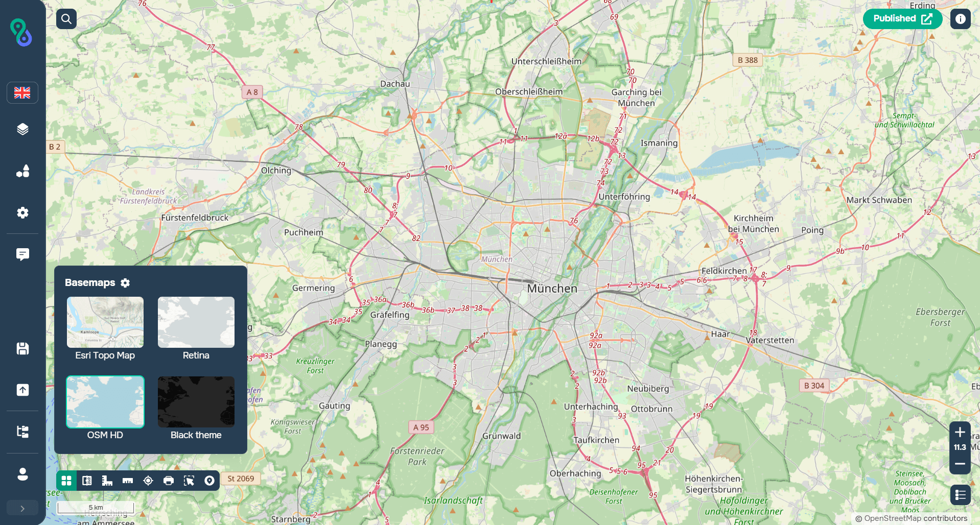
WMTS basemap on GISCARTA
When WMTS Is a Good Choice
Basemaps and reference layers used continuously while navigating a map.
Web maps where fast pan and zoom are important.
Large or frequently viewed map layers that are already published as cached tiles.
The Key Difference
The important difference is not raster versus vector: standard WMS and WMTS are both image-based map services. The difference is how the images are requested and organized.
WMTS is often used for basemaps, but WMTS does not mean “basemap.” A WMTS service can publish a thematic or imagery layer, while many basemaps are also available through other technologies, including vector tiles and raster tile URLs.
Using WMS and WMTS Together
WMS and WMTS can be used together. A common setup is to use WMTS for the fast, stable background map and WMS for a thematic overlay that needs more flexible server-side rendering.
WMS and WMTS in GISCARTA
GISCARTA supports a wide range of external geospatial sources, including WMS and WMTS services, as well as other external map and GIS services that can be connected to the platform.
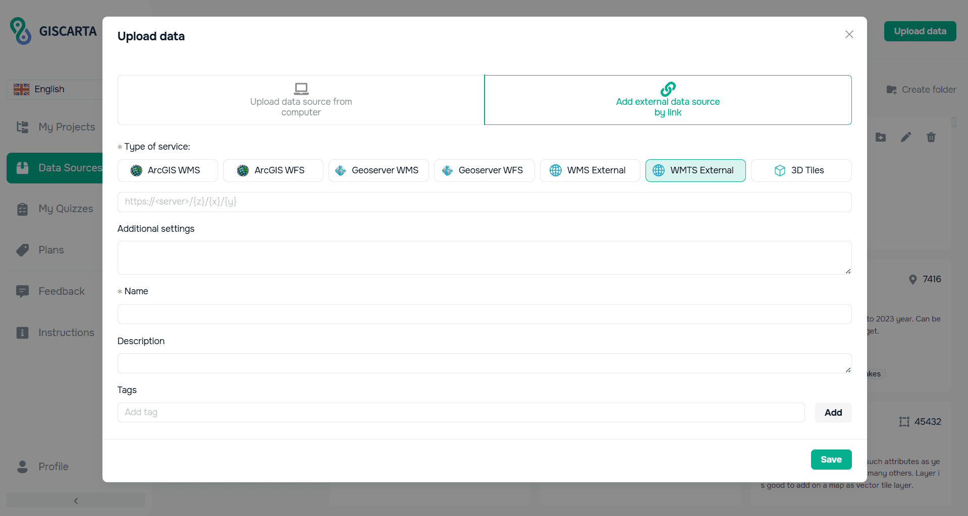
External data source connection window in GISCARTA
The platform also provides a large selection of basemaps, including raster and vector options, and can work with external map sources by URL. This makes WMTS particularly relevant when a provider already publishes a ready-to-use tiled basemap or reference layer. WMS is useful when the external source is published as a dynamic map service and you need its rendered map output.

Basemaps widget settings
Common Mistakes
Treating WMTS as simply a “faster WMS” — the main difference is the delivery model.
Expecting WMTS to provide original vector features or attributes. It is primarily an image tile service.
Assuming every basemap is WMTS or every WMTS layer is a basemap.
Choosing WMS when the provider already offers a suitable cached WMTS service for a heavily used background layer.
How to Choose
Use the service that matches the source and the job:
Need a fast, stable map for navigation? → WMTS is often a strong choice.
Need more flexibility in the requested extent and rendered image? → WMS is usually better.
Need individual features and attributes? → Neither; use WFS or another feature API.
Need both a basemap and a dynamic thematic layer? → WMTS for the background and WMS for the overlay can work well.
FAQs
Is WMTS only for basemaps?
No. It is frequently used for basemaps, but it can also deliver imagery, thematic maps and other pre-tiled map layers.
Does WMTS return vector data?
Standard WMTS serves map tiles, usually images. Vector feature access requires a different service or API.
Which is better for a web map?
It depends on the source. For a ready-made cached basemap, WMTS is often the natural choice. For flexible map rendering, WMS can be more appropriate.
Key Takeaways
WMS generates a map image for a requested extent; WMTS serves predefined tiles.
WMTS is commonly used for basemaps because tiled delivery works well for fast navigation.
WMTS is not synonymous with basemaps, and basemaps can also use vector tile or other delivery methods.
Both are mainly visualization services, not direct feature-data services.
In GISCARTA, choose the service based on what the external provider exposes and what your map needs.



