The development of artificial intelligence is changing the way we work with geographic information systems (GIS). AI agents – intelligent systems capable of independently executing entire sequences of actions to solve spatial problems—are becoming increasingly popular.
What is an AI agent?
An AI agent is a software system that independently performs a complex task, breaking it down into several steps. The user formulates a goal, after which the agent determines the necessary actions, selects appropriate tools, and executes them sequentially.
In the context of GIS, this means that instead of manually launching dozens of tools, the user can simply type:
"Find the most suitable areas for building a solar power plant."
Then the agent can independently:
select the necessary spatial data;
check coordinate systems;
execute spatial queries;
calculate terrain slope;
exclude protected natural areas;
estimate the distance to power lines;
generate a final suitability map and report.
This approach significantly reduces the analysis time and reduces the likelihood of errors.
How AI Agents Work with Spatial Data
Most spatial projects consist of many similar steps:
data search;
downloading information from various sources;
layer preparation;
spatial analysis;
result visualization;
report generation.
AI agents automate almost this entire process. They can access mapping service APIs, execute SQL queries against spatial databases, use Python libraries (such as GeoPandas, Rasterio, or Shapely), run QGIS or ArcGIS algorithms, and combine the results into a single workflow.
Essentially, the agent becomes a virtual GIS analyst, autonomously performing a sequence of operations under the user's control.
AI Agent Use Cases
AI agent technologies are already beginning to appear in modern geographic information systems. They enable spatial analysis using queries, automating many routine operations.
ArcGIS AI Assistant
Esri is developing the AI Assistant for ArcGIS, which helps create data queries, generate geoprocessing tools, and explain GIS functions. The user can describe the task in text, after which the assistant will suggest a sequence of actions or generate Python code for the analysis.
GeodataAI in GISCARTA
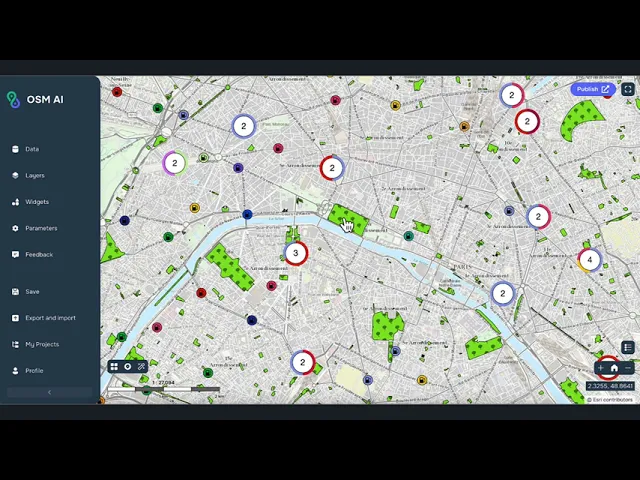
One example of the use of AI in web GIS is the GeoDataAI widget, developed on the GISCARTA platform. It allows interaction with spatial data from OpenStreetMap.
The user can formulate a query, for example:
"All bars in Dublin"
"Population of Japan"
"All roads in Iceland"
GeoDataAI will automatically find and download data from OpenStreetMap and return it to the platform as vector layers. This saves a lot of time when searching for data for your mapping projects.
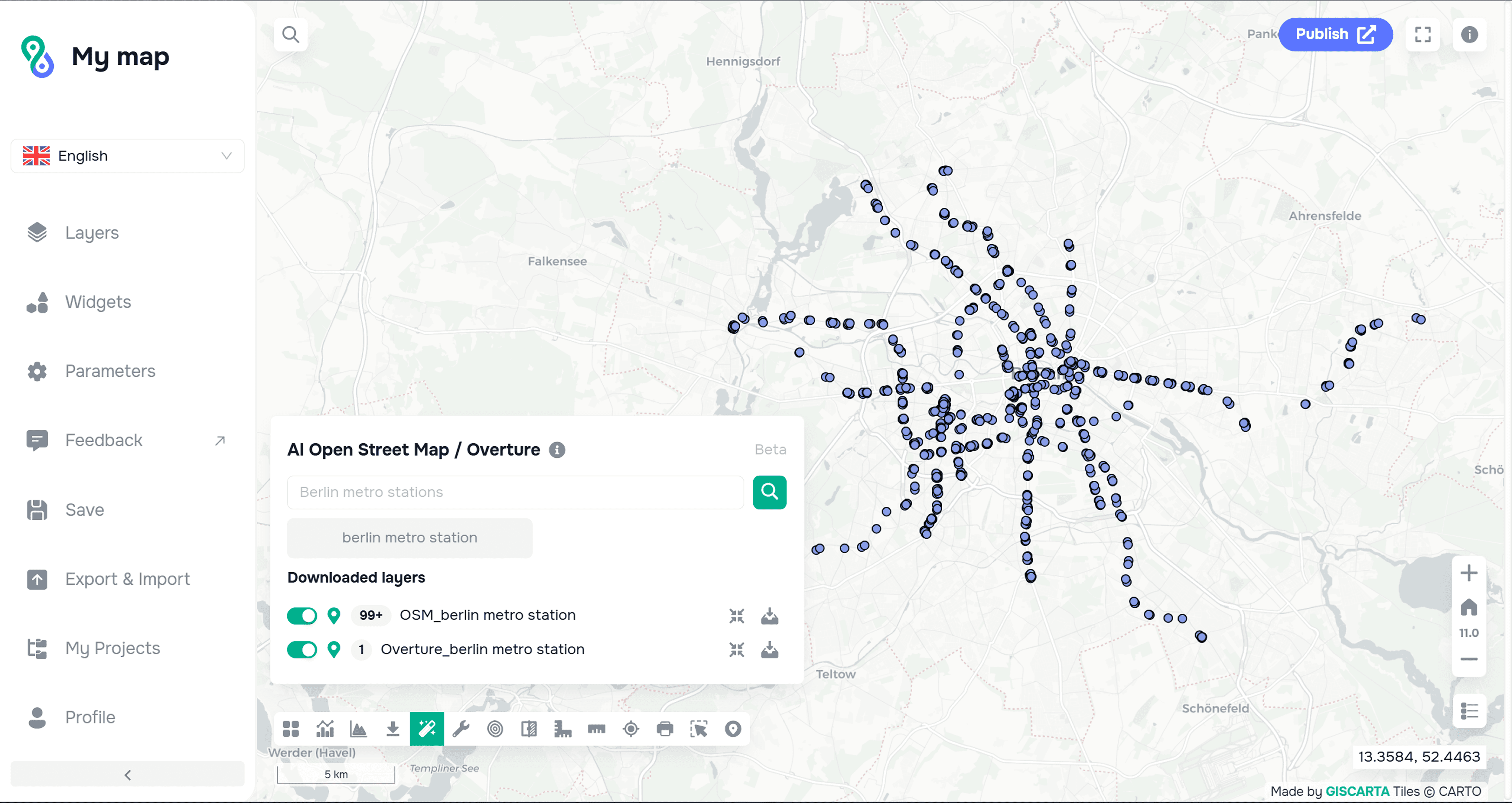
An example of using the GeodataAI widget
Advantages
Using AI agents offers a number of advantages:
automation of repetitive operations;
accelerated analysis of large volumes of spatial data;
reduction in errors;
the ability to work with multiple data sources simultaneously;
automated generation of maps and reports;
simplification of work for users without extensive GIS knowledge.
The effect is particularly noticeable when processing large satellite archives, urban geodata, and national spatial databases.
Limitations
Despite their high potential, AI agents do not replace GIS specialists.
The quality of analysis still depends on the correctness of the source data, the chosen methodology, and an understanding of spatial patterns. An agent may select inappropriate data sources or misinterpret spatial relationships, so the results require expert review.
Furthermore, processing large raster data, LiDAR point clouds, and detailed digital elevation models requires significant computing resources.
More information about the Geodata AI widget can be found on a spatial instructions page.
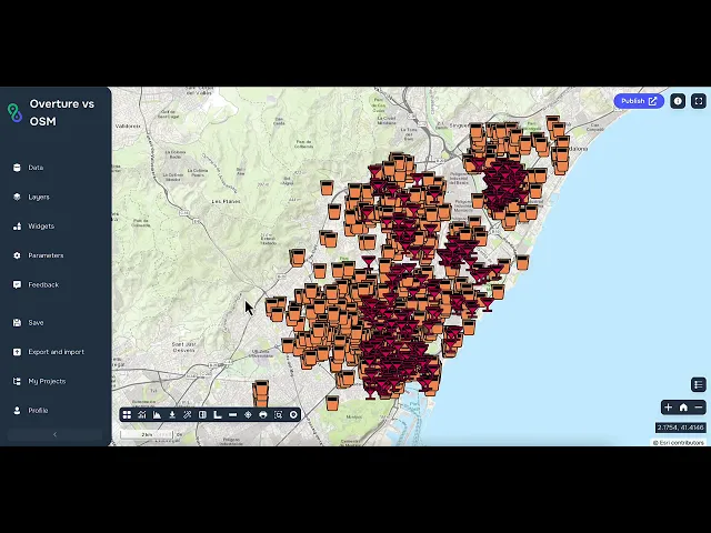
There are also video tutorials on how to use the widget:
FAQ
What is an AI agent?
It is an intelligent system that can independently perform a sequence of tasks related to processing and analyzing spatial data.
Where are AI agents used?
In modern GIS platforms, such as ArcGIS AI Assistants and the GeoDataAI widget in the GISCARTA platform.
Will AI agents replace GIS specialists?
No. They automate routine tasks but do not replace expert evaluation of results.
Key Takeaways
AI agents speed up work with spatial data.
They automate the search, analysis, and visualization of geodata.
AI is becoming an important tool in modern GIS platforms.



