Widget description
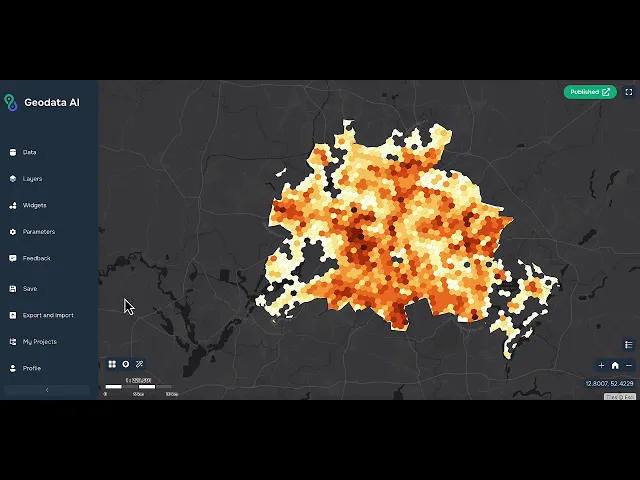
This widget allows the application administrator to download data from OSM using AI technologies. The widget only works in builder mode and is not available to the final viewer of the application. When you click on the widget button, a window with an input field opens. The user enters any text and if there is a match in OSM, then data is added to the map. Data can be point, line, or polygon. Opposite each added layer there are 2 buttons - Zoom to layer extent and Add layer to your data sources.
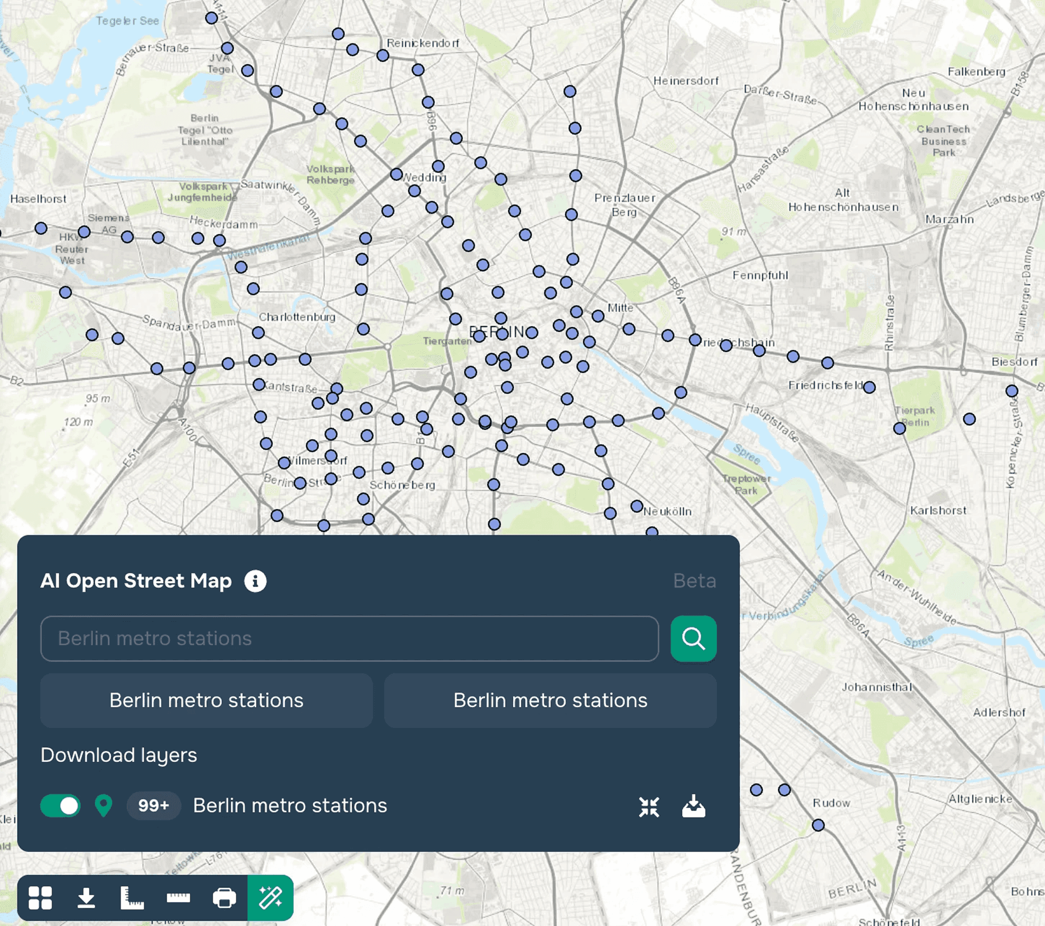
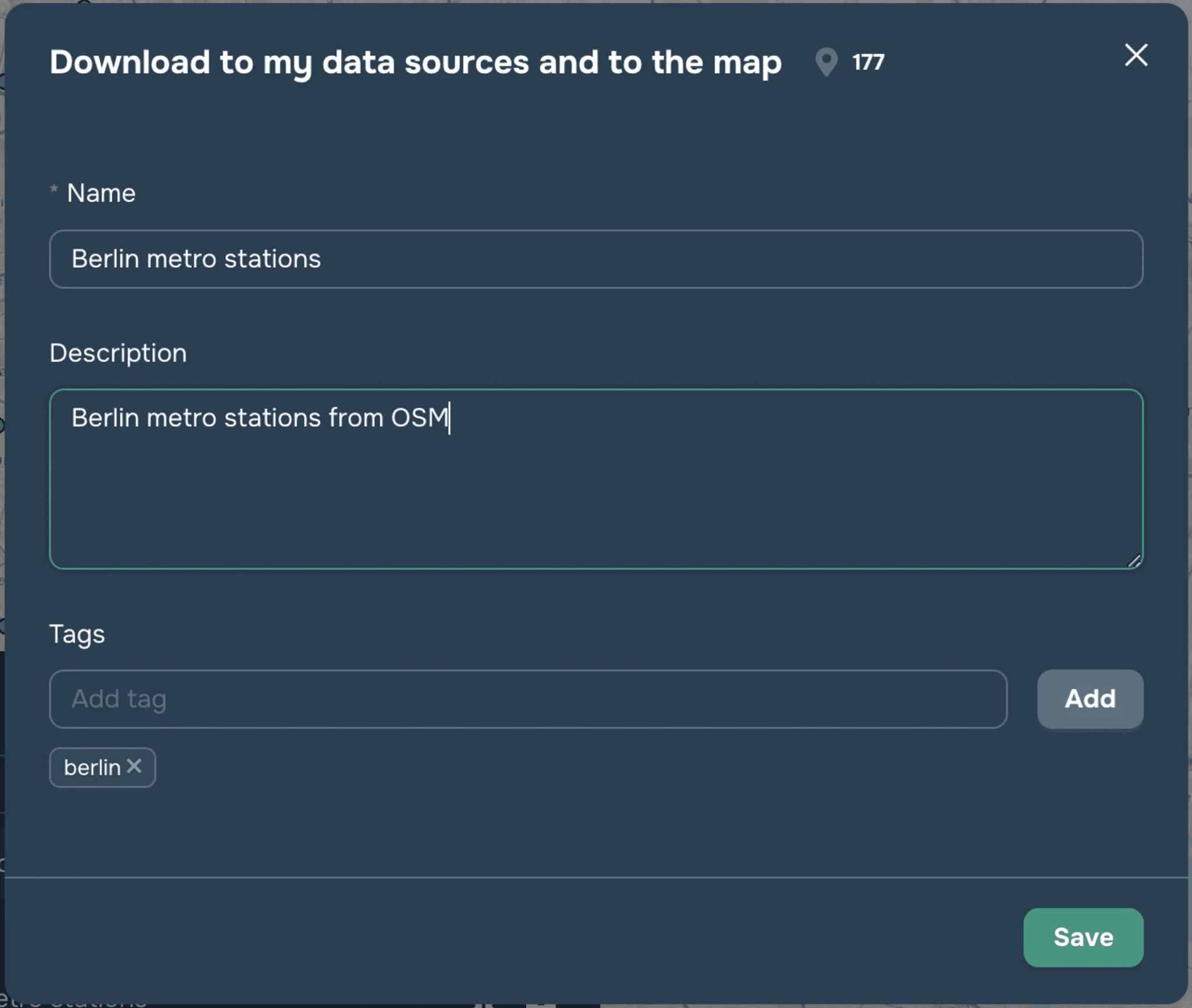
When you add a layer to your data sources, it will also automatically be added to your current project and can be configured as a regular vector layer. This widget has Beta status.
Video tutorial
Video tutorial. Get population with Geodata AI widget
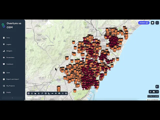
Video tutorial. Overture and OSM