Setting up the platform

Registering in the GISCARTA system

My Projects

Data Sources

Plan Settings

Profile

Zoom to layer

Creating a project

Registering in the GISCARTA system

My Projects

Data Sources

Plan Settings

Profile

Zoom to layer

Creating a project

Registering in the GISCARTA system

My Projects

Data Sources

Plan Settings

Profile

Zoom to layer

Map builder

Zoom to layer

Profile

Plan Settings

Data Sources

My Projects

Registering in the GISCARTA system

Map builder

Zoom to layer

Profile

Plan Settings

Data Sources

My Projects

Registering in the GISCARTA system

Layer display options

How to begin setup

Main settings

Infowindow

Styling raster data

Styling vector data

Filtering

Labels

Legend

Fields

Clustering

Layer display options

How to begin setup

Main settings

Infowindow

Styling raster data

Styling vector data

Filtering

Labels

Legend

Fields

Clustering

Widgets

Attribute table

Basemaps

Change layer order

Contour lines

Create layer

Cursor coordinates

Dashboards

Editing

Elevation profile

Full screen

Geodata AI

Geoprocessing

Grid

Iframe

Initial extent

Layers comparison

Layer export

Layer transparency

Layer visibility

Legend

Map info

Measure area

Measure distances

My location

Print

Scalebar

Search

Selection

Storybook

Time slider

Transport analytics

Zoom

GISCARTA Docs

Widgets

Zoom

Zoom

Widget description
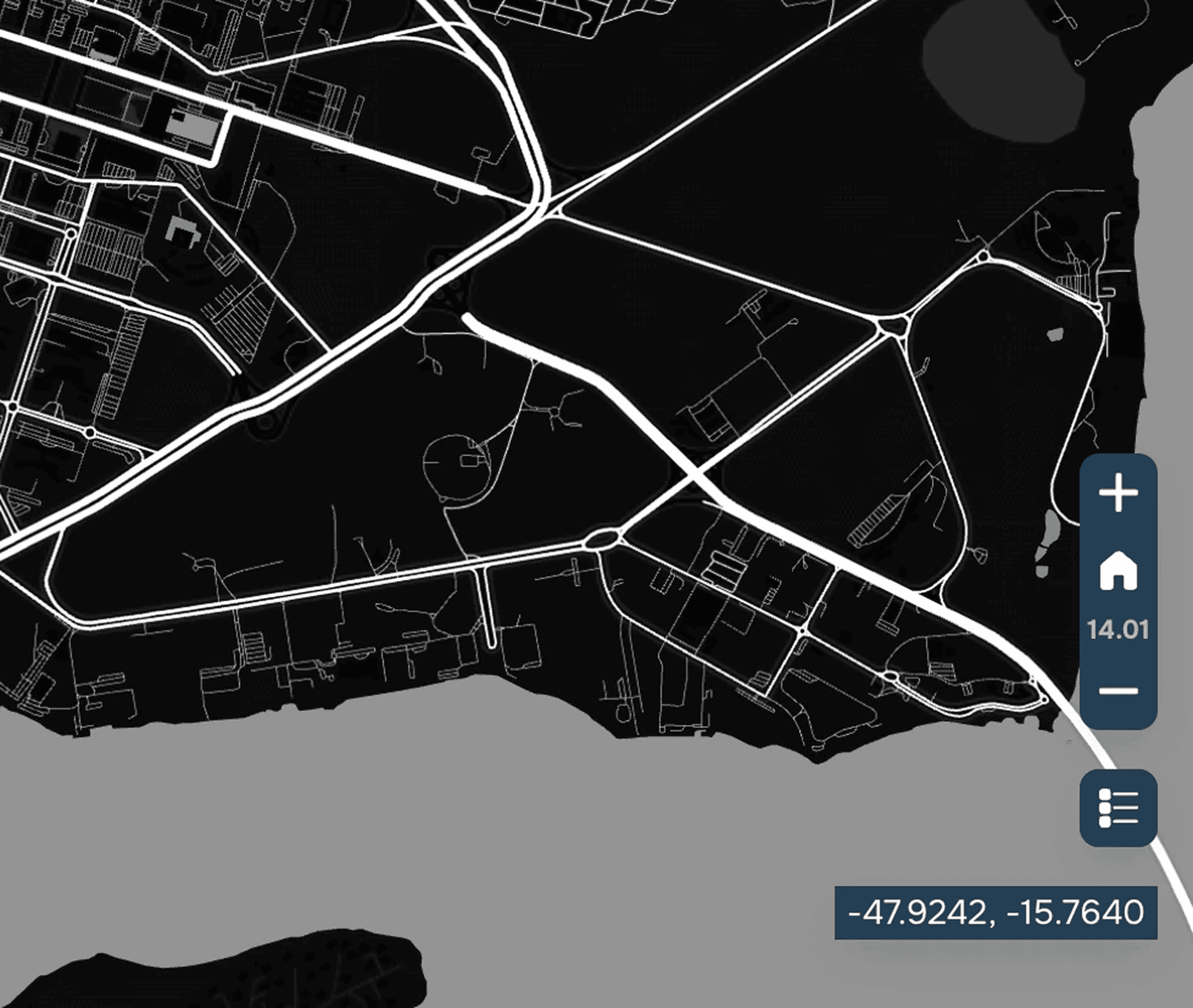
You can control this widget by clicking the corresponding icons in the map window in the lower right corner. Click on the "+" icon to zoom in and make objects appear closer, and the "-" icon to zoom out and make objects appear farther away.

Transport analytics

Transport analytics

Transport analytics

Transport analytics

Zoom to layer

Zoom to layer

Zoom to layer

Zoom to layer

Any other questions? Ask our support

SUPPORT

support@giscarta.com

© 2025 GISCARTA

Services

Product

Pricing

Enterprise

Map Gallery

Solutions

Real Estate

Urban planning

Public Service

Climate

Education

Resourses

Contacts

Blog

About us

Docs

Terms of service

Privacy policy

User Agreement

SUPPORT

support@giscarta.com

© 2025 GISCARTA

Services

Product

Pricing

Enterprise

Map Gallery

Solutions

Real Estate

Urban planning

Public Service

Climate

Education

Resourses

Contacts

Blog

About us

Docs

Terms of service

Privacy policy

User Agreement

Services

Product

Pricing

Enterprise

Map Gallery

Solutions

Real Estate

Urban planning

Public Service

Climate

Education

Resourses

Contacts

Blog

About us

Docs

Terms of service

Privacy policy

User Agreement

SUPPORT

support@giscarta.com

© 2025 GISCARTA

Product

Solutions

Pricing

Enterprise

Map Gallery

Resourses

Sign up

Log in