Widget settings
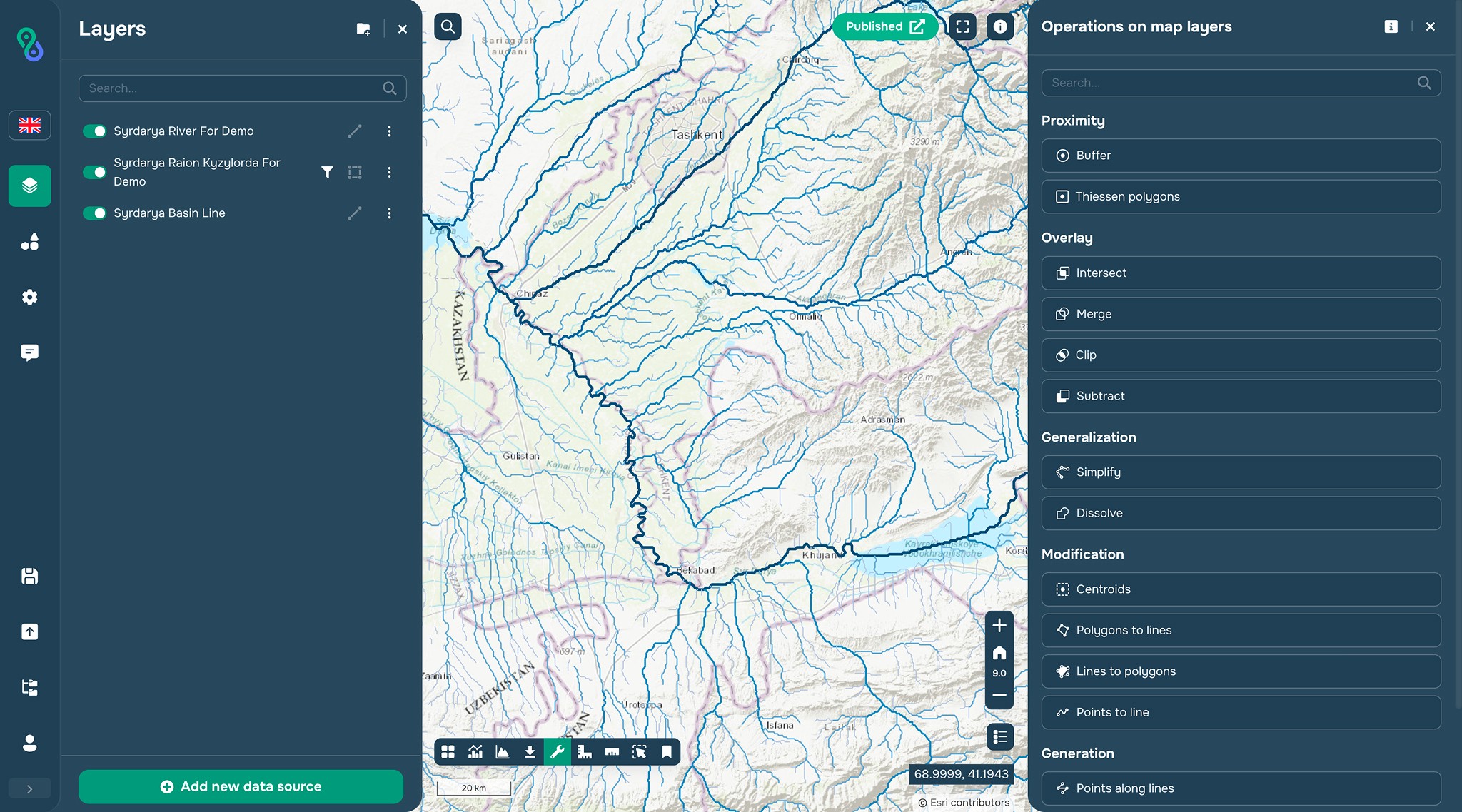
This widget allows you to run geoprocessing tools on the platform. The following tools are currently available:
Intersect
Subtract
Clip
Dissolve
Buffer
Spatial Analysis
Thiessen Polygons
Merge
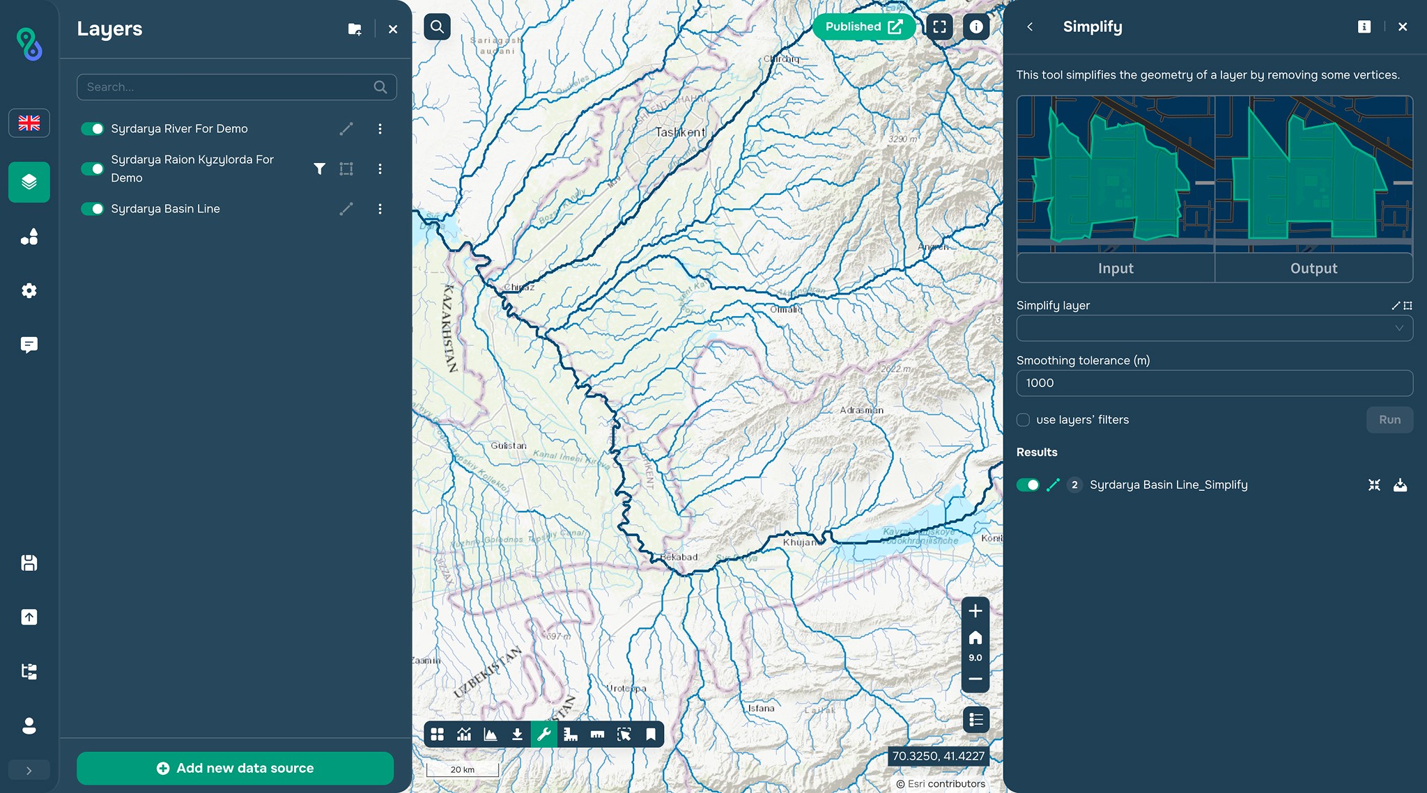
Simplify
Centroids
Polygons to Lines
Lines to Polygons
Points to Line
Points Along Line
Grid
You can input layers from the project with or without filtering. As a result, a temporary layer appears on the map, which can be added to Data Sources.
Intersect
Subtract
Clip
Dissolve
Buffer
Spatial Analysis
Thiessen Polygons
Merge
Simplify
Centroids
Polygons to Lines
Lines to Polygons
Points to Line
Points Along Line
Grid