
Geocoding is the process of converting a textual description of a location into geographic coordinates. This technology underlies many geographic information systems (GIS), web maps, and navigation services. With geocoding, data that originally exists as text can be displayed on a map and used for spatial analysis.
How Geocoding Works
When a user enters an address, the geocoder compares it with data from a reference database and attempts to find the most accurate match. If a match is found, the system returns the coordinates of the object.
For example, the address 1600 Amphitheater Parkway, Mountain View, California, USA can be converted into coordinates, which are then used to display the point on a map, calculate routes, or perform spatial analysis.
Reverse geocoding also exists—the process of determining an address from known coordinates. This function is widely used in mobile apps, navigation systems, and vehicle tracking services.
Where is geocoding used?
Geocoding is one of the most in-demand operations when working with spatial data. Common use cases include:
visualizing addresses on a map;
analyzing customer data by region;
planning delivery routes;
finding nearby facilities;
asset and infrastructure management;
analysis of service areas;
spatial analytics in business and the public sector.
Without geocoding, most address data cannot be used in geographic information systems.
Popular Geocoding Tools
There are many geocoding services on the market. They vary in accuracy, coverage, cost, and integration options.
ArcGIS Geocoding
Esri's geocoder provides global coverage and tight integration with ArcGIS Online and ArcGIS Pro. Suitable for enterprise projects and large geographic information systems.
Limitation: Usage is credit-based, which can become expensive when processing large volumes of addresses.
Google Maps Geocoding API
One of the most popular geocoding services with extensive international coverage and a comprehensive API for developers.
Limitation: Requires billing to be enabled and may become costly for high-volume applications.
Nominatim
An open geocoder based on OpenStreetMap data. Often used in open source projects and scientific research.
Limitation: Public instances have strict usage limits and are not intended for large-scale commercial workloads.
Mapbox Geocoding API
Offers address and feature search tools and query autocompletion for web and mobile applications.
Limitation: Advanced usage and large request volumes may significantly increase costs.
HERE Geocoding & Search
A popular solution for transportation and logistics projects thanks to its high-quality data and global coverage.
Limitation: Some advanced features are only available in higher-tier plans.
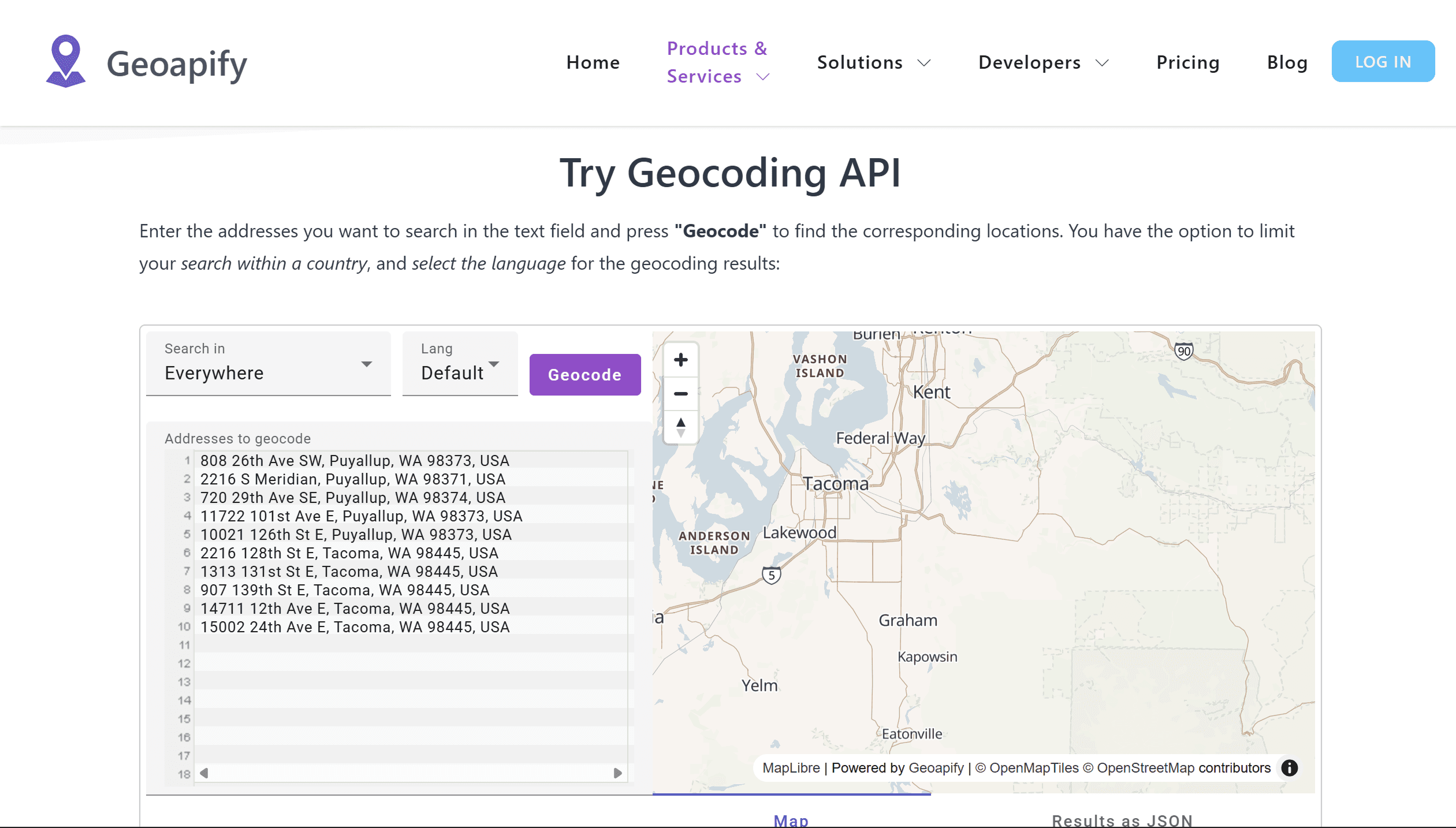
Geoapify
Provides geocoding services based on OpenStreetMap data and a set of APIs for developers.
Limitation: Data quality depends on OpenStreetMap coverage, which can vary by region.
Geocodio
Specializes in geocoding addresses in the US and Canada and is widely used in business analytics.
Limitation: Geographic coverage is limited primarily to North America.
LocationIQ
Offers accessible APIs for geocoding and reverse geocoding.
Limitation: Lower-cost plans include request limits and may not be suitable for enterprise-scale applications.
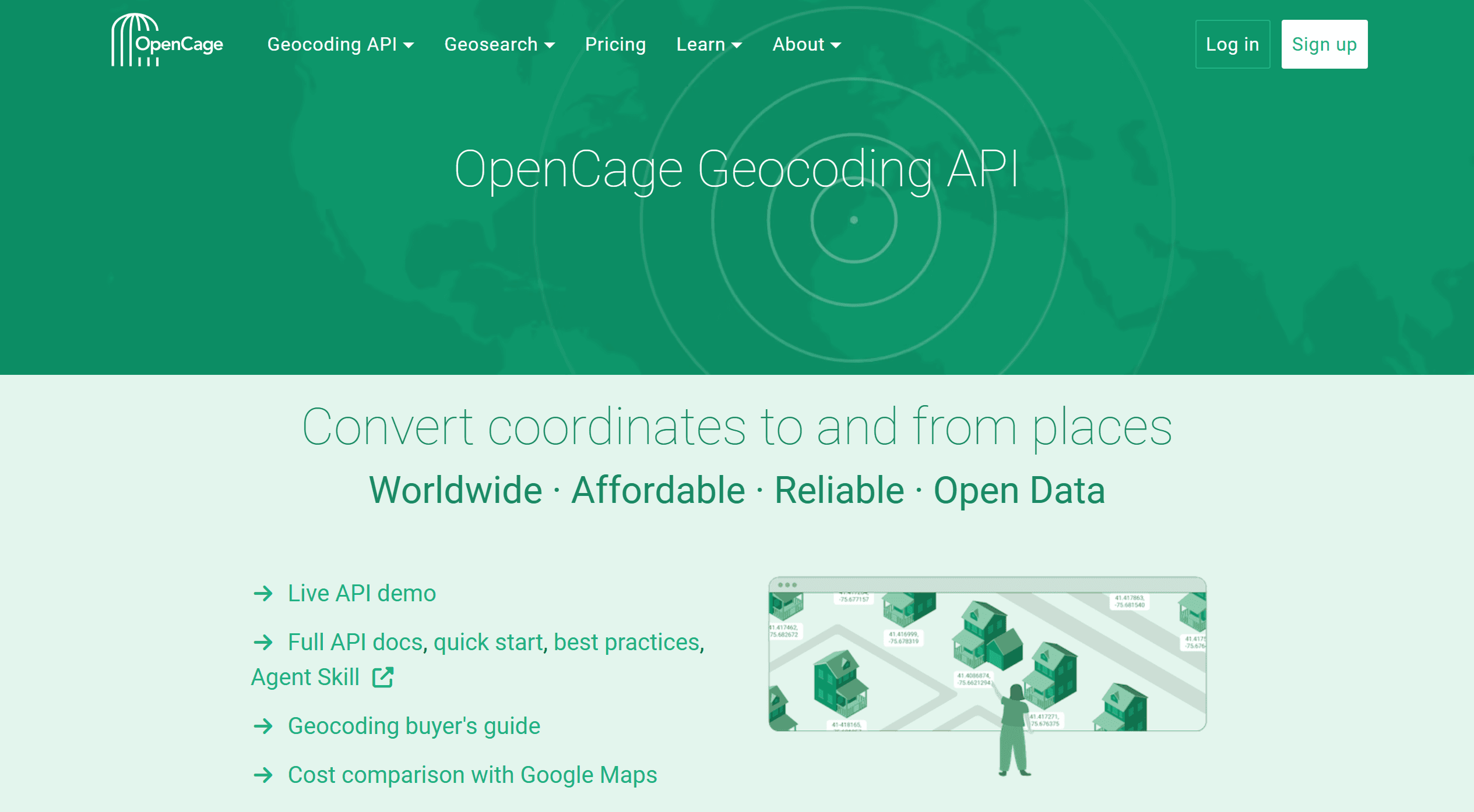
OpenCage Geocoder
Uses data from multiple open sources and provides global coverage.
Limitation: Accuracy may vary between countries because the service relies on multiple underlying datasets.
Pelias
An open geocoder that can be deployed on your own infrastructure and customized for specific needs.
Limitation: Requires technical expertise and server resources for deployment and maintenance.
Tool | Main Strength | Main Limitation |
ArcGIS Geocoding | Enterprise GIS integration | Credit-based pricing |
Google Maps | Global coverage | Usage costs |
Nominatim | Free and open source | Strict rate limits |
Mapbox | Web and mobile apps | Costs at scale |
HERE | Logistics and routing | Premium features require paid plans |
Geoapify | OSM-based APIs | Varying data quality |
Geocodio | US/Canada focus | Limited global coverage |
LocationIQ | Affordable pricing | Request limits |
OpenCage | Multiple data sources | Variable accuracy |
Pelias | Full control and customization | Requires self-hosting |
Geocoding in Google Sheets
For small datasets, geocoding can be performed directly in Google Sheets using extensions. One of the most popular solutions is Geocode by Awesome Table, which automatically converts addresses from a table into geographic coordinates. After installing the extension, simply specify the address column, and the service will create new latitude and longitude fields for each record.
This approach is convenient for processing customer lists, business addresses, or survey results without the need for specialized GIS software. However, most extensions rely on third-party geocoding services and are subject to their quotas and limitations. Therefore, when processing large volumes of data, specialized geocoding tools or GIS platforms with support for batch address processing are typically used.
How to Choose the Right Tool
When choosing a geocoder, it's important to consider several factors:
geographic coverage;
result accuracy;
cost of use;
request limits;
API and documentation availability;
data security requirements.
For smaller projects, open-source solutions based on OpenStreetMap may be suitable.
Commercial platforms are often chosen if high accuracy, technical support, and guaranteed service availability are required.
Geocoding Limitations
Despite the advanced technology, geocoding does not always provide perfect results. Key issues include:
incomplete or incorrect addresses;
differences in address formats between countries;
missing objects in reference databases;
ambiguous names of settlements;
limitations of free plans.
Therefore, when working with large volumes of data, it is recommended to perform quality control of the results and analyze the level of address matches.
FAQ
What is geocoding?
Geocoding is the process of converting addresses and object names into geographic coordinates.
What is reverse geocoding?
Reverse geocoding allows you to determine an address or object name based on specified coordinates.
Can I use free geocoding services?
Yes. Many projects use Nominatim, Pelias, and other solutions based on OpenStreetMap data.
Which geocoding service is best?
It depends on the project's requirements, required accuracy, budget, and geographic coverage.
Key Takeaways
Geocoding converts addresses into geographic coordinates.
There are both commercial and open-source geocoding tools.
The quality of the results depends on the accuracy of the addresses and reference data.



