
When working with web maps, users expect fast data loading and smooth navigation, even when displaying millions of objects. One technology that enables this performance is vector tiles.
A vector tile is a small fragment of spatial data corresponding to a specific map area and zoom level. Instead of downloading the entire dataset, the map requests only the tiles needed to display the current viewport.
Vector tiles are a set of spatial data stored in a compact binary format (.pbf, or Protocol Buffers). They contain the geometry of objects and the necessary attributes, and the map image is generated directly on the client side. Display rules are defined by a separate style that determines the appearance of objects, labels, fonts, and languages. This approach allows for quick map design changes without republishing the data and ensures high performance when working with large volumes of information.
Vector tiles are approximately 20-50% smaller than raster tiles, so their transfer requires less time and processing resources. Furthermore, they provide high resolution at all zoom levels without increasing file size.
Why vector tiles have become the standard for web mapping
As geodata volumes grow, traditional vector layers have become increasingly burdensome for both the server and the user's browser. Vector tiles address this issue in several ways.
High display speed
The user receives only the data necessary for the current zoom level and viewing area. This significantly reduces the amount of information transferred.
Scalability
This technology enables the efficient display of multiple objects at once—roads, buildings, land parcels, administrative boundaries, and other national or even global data.
Reduced server load
The server does not need to generate images each time a user requests. Pre-generated tiles are sufficient, significantly increasing system performance.
Vector Layers and Vector Tiles: What's the Difference?
While both approaches work with vector data, their purposes differ.
Vector layers are designed for editing, analysis, and working with full attribute information.
Vector tiles are primarily designed for quickly displaying data in web maps.
Key differences:
A vector layer loads in its entirety, while vector tiles only load the visible area of the map.
Vector layers are suitable for editing objects, while vector tiles are used primarily for visualization.
Vector tiles perform significantly faster with large amounts of data.
Adding Data to GISCARTA
On the GISCARTA platform, users can publish data as both regular vector layers and vector tiles.
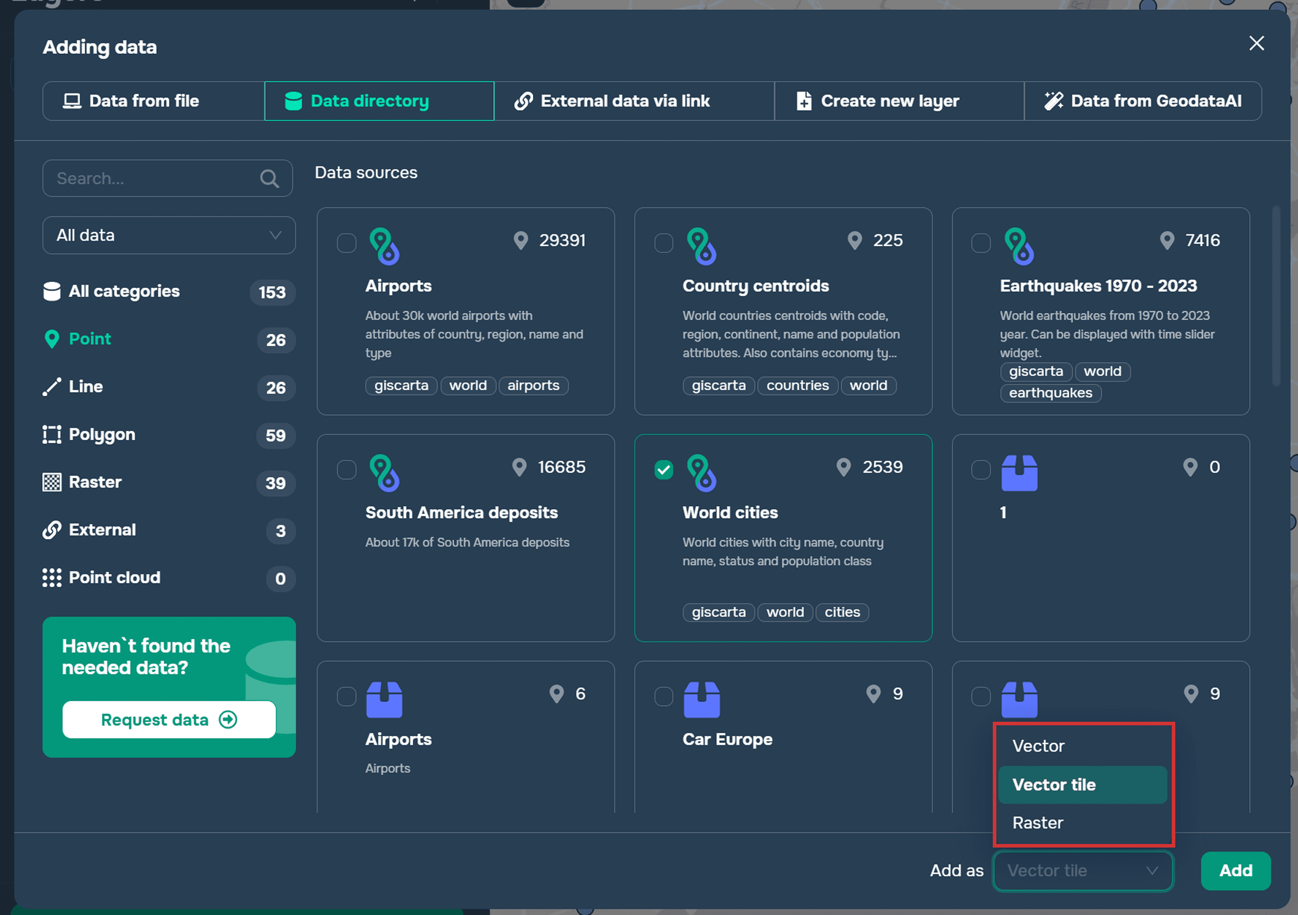
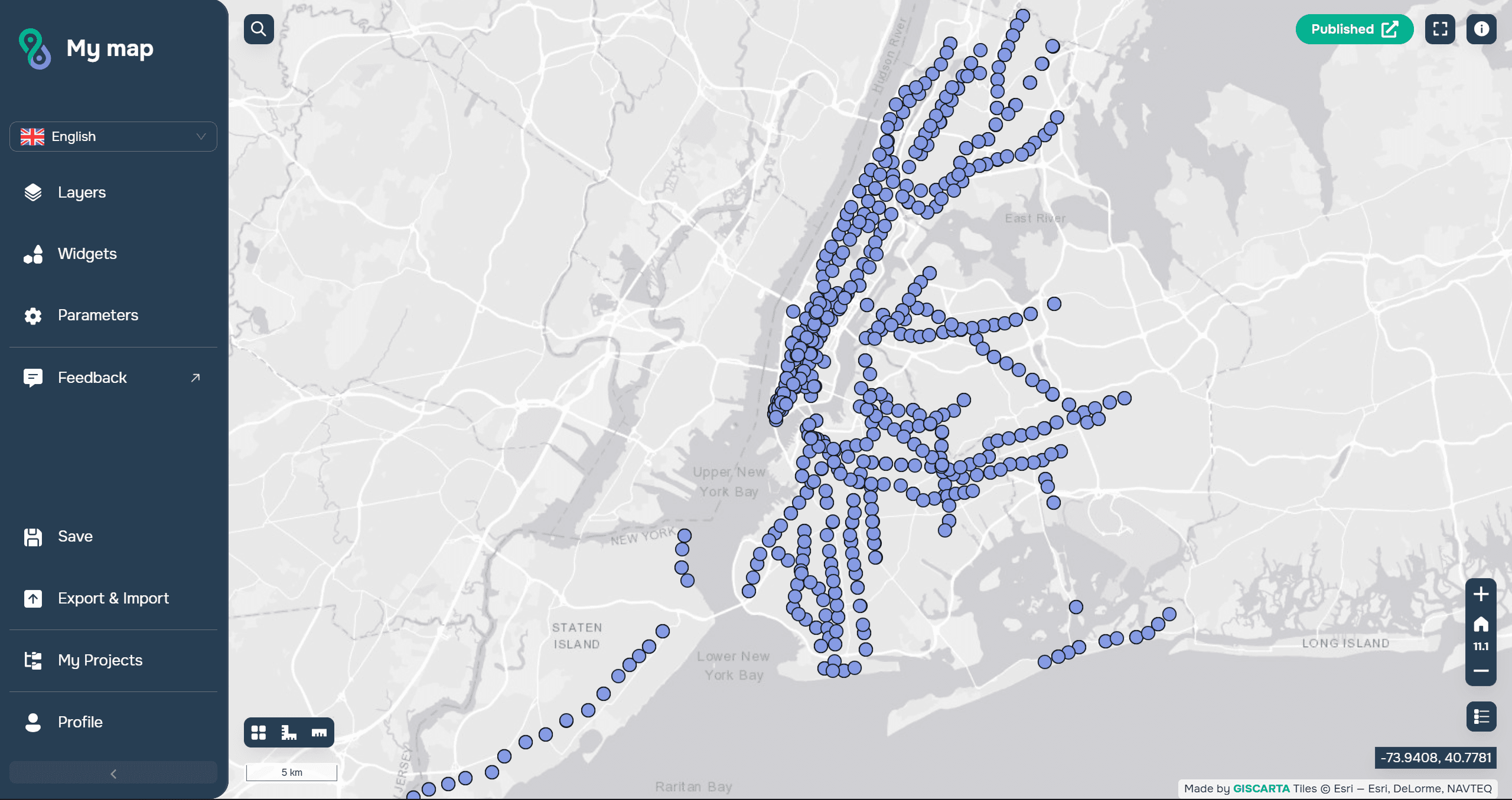
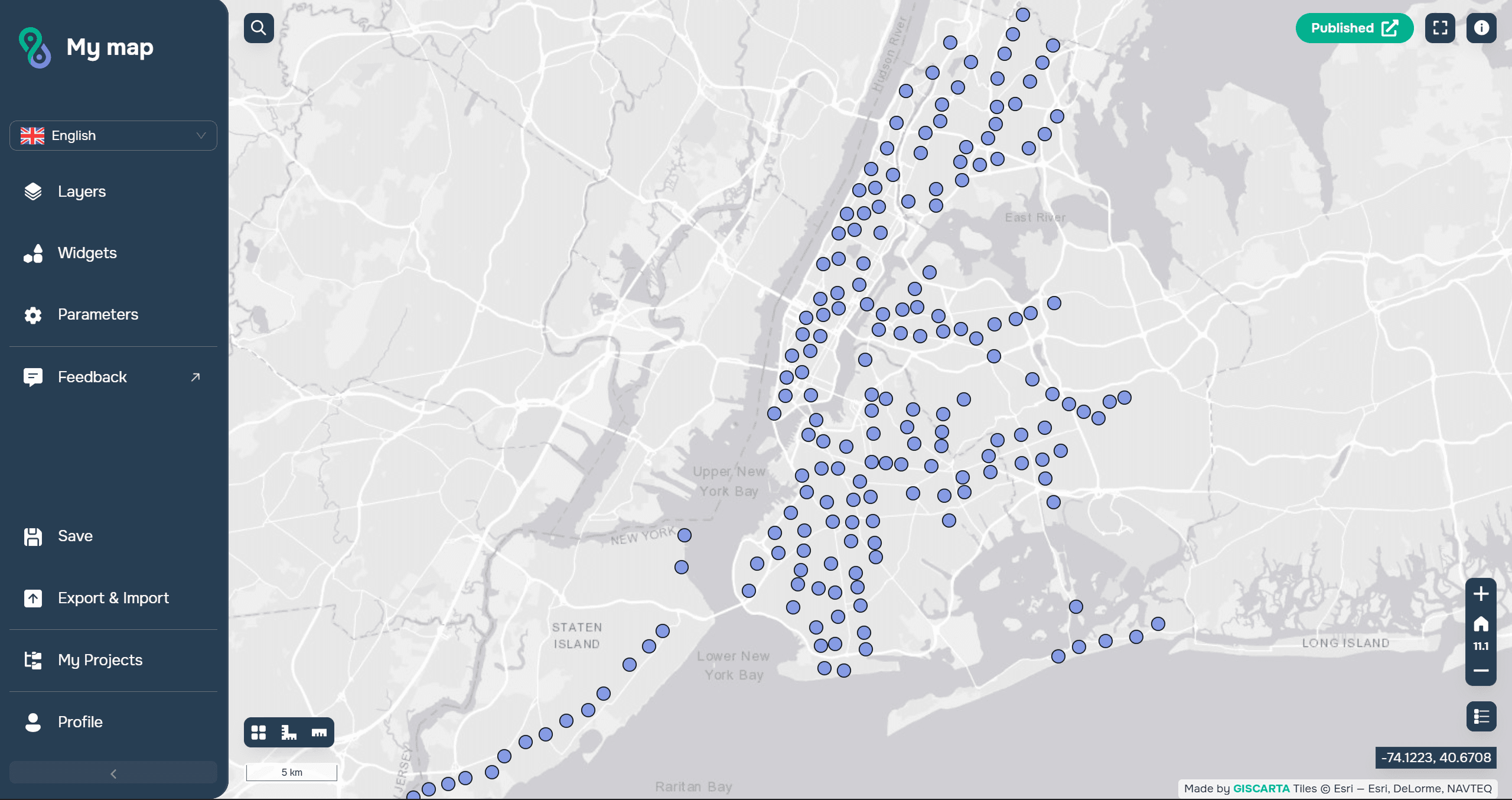
Visually, the difference will only be visible in the addition of point objects. When adding tiles, the points will be grouped, and all objects will only be visible when zoomed in.
When to use vector tiles
The layer contains a large number of features;
Fast map loading speed is important;
The data is published to a wide audience.
FAQ
Why do point features cluster when using vector tiles?
Clustering is used to improve map performance and readability at small scales. Individual points become visible as you zoom in.
Are vector tiles suitable for large datasets?
Yes. They are specifically designed to handle large volumes of spatial data efficiently by loading only the visible map area.
When should I choose vector tiles in GISCARTA?
Use vector tiles when you need fast web map performance, public map publishing, or visualization of large datasets without editing.
Key Takeaways
Vector tiles load only the visible part of the map, which greatly improves performance.
They are stored in a compact .pbf format and rendered on the client side.
Vector tiles are ideal for publishing large datasets and public web maps.



