
Modern GIS systems work with more than just historical or static data. Users now expect to receive information about ongoing events almost instantly. This is achieved through the use of real-time data, which is automatically fed into the system and updated with minimal latency.
This data allows for tracking the movement of objects, monitoring infrastructure conditions, observing natural phenomena, and promptly responding to changing situations.
What is real-time data?
Real-time data is information that enters the system almost immediately after it is received by the source. Depending on the task, updates can occur every few seconds, minutes, or hours.
Unlike traditional datasets, which are updated manually or periodically, real-time data allows for continuous access to up-to-date information without the need to reload the layer.
Where is real-time data used?
This technology is used in a wide range of fields, from transportation and ecology to industry and territorial management.
Transportation and Logistics
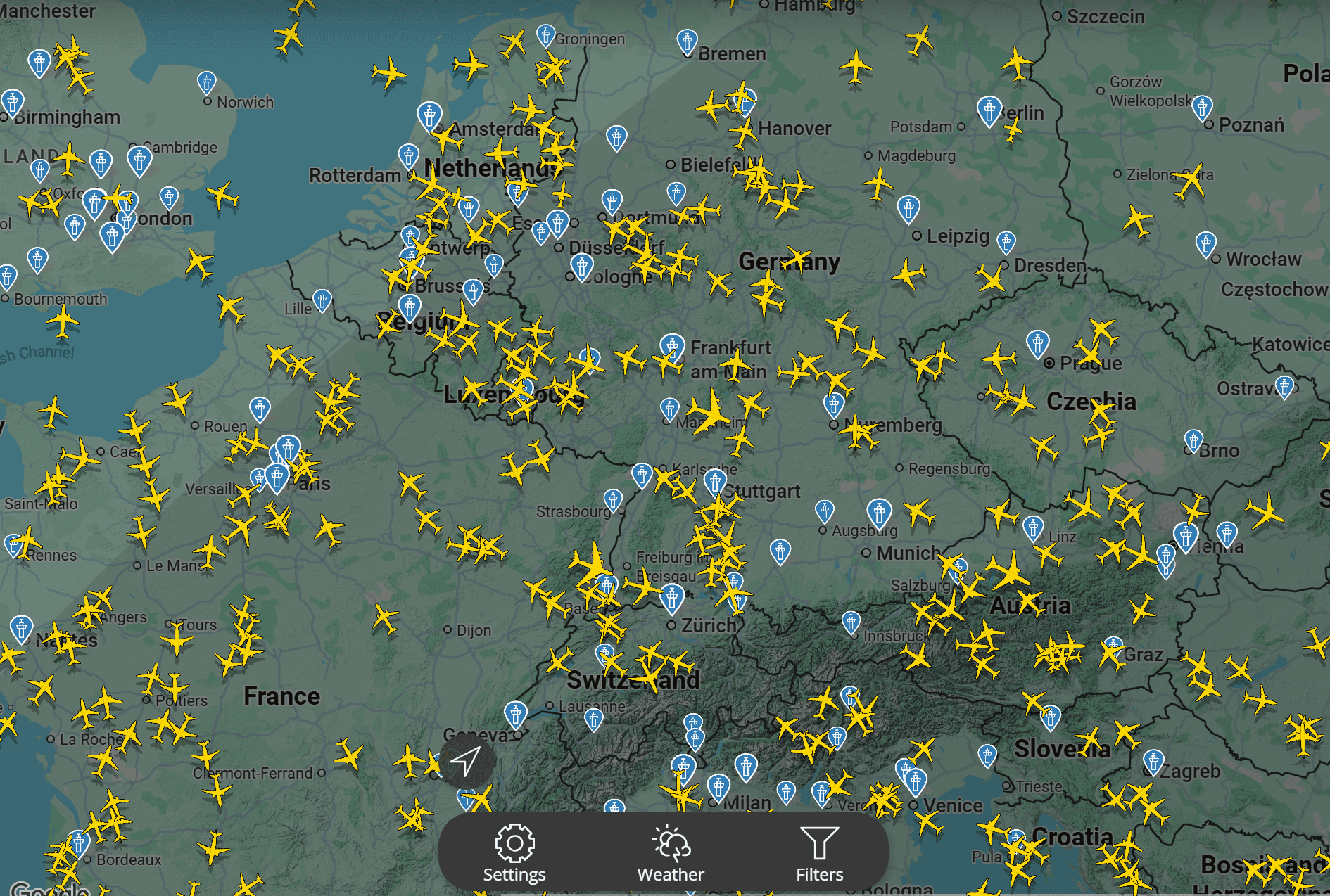
One of the most common examples is transport monitoring. The location of cars, buses, special equipment, ships, and aircraft can be displayed on a map.
For example, the Flightradar24 service allows you to track aircraft movements around the world in near real time. Users can monitor flight routes, receive flight information, and analyze airspace congestion.
Environmental Monitoring
Real-time data is actively used to monitor environmental conditions. Using a network of sensors, you can monitor:
air quality;
temperature;
precipitation;
river water levels;
environmental pollution.
The OpenAQ platform collects data from thousands of air monitoring stations worldwide and provides information on the concentration of various pollutants.

Emergency Monitoring
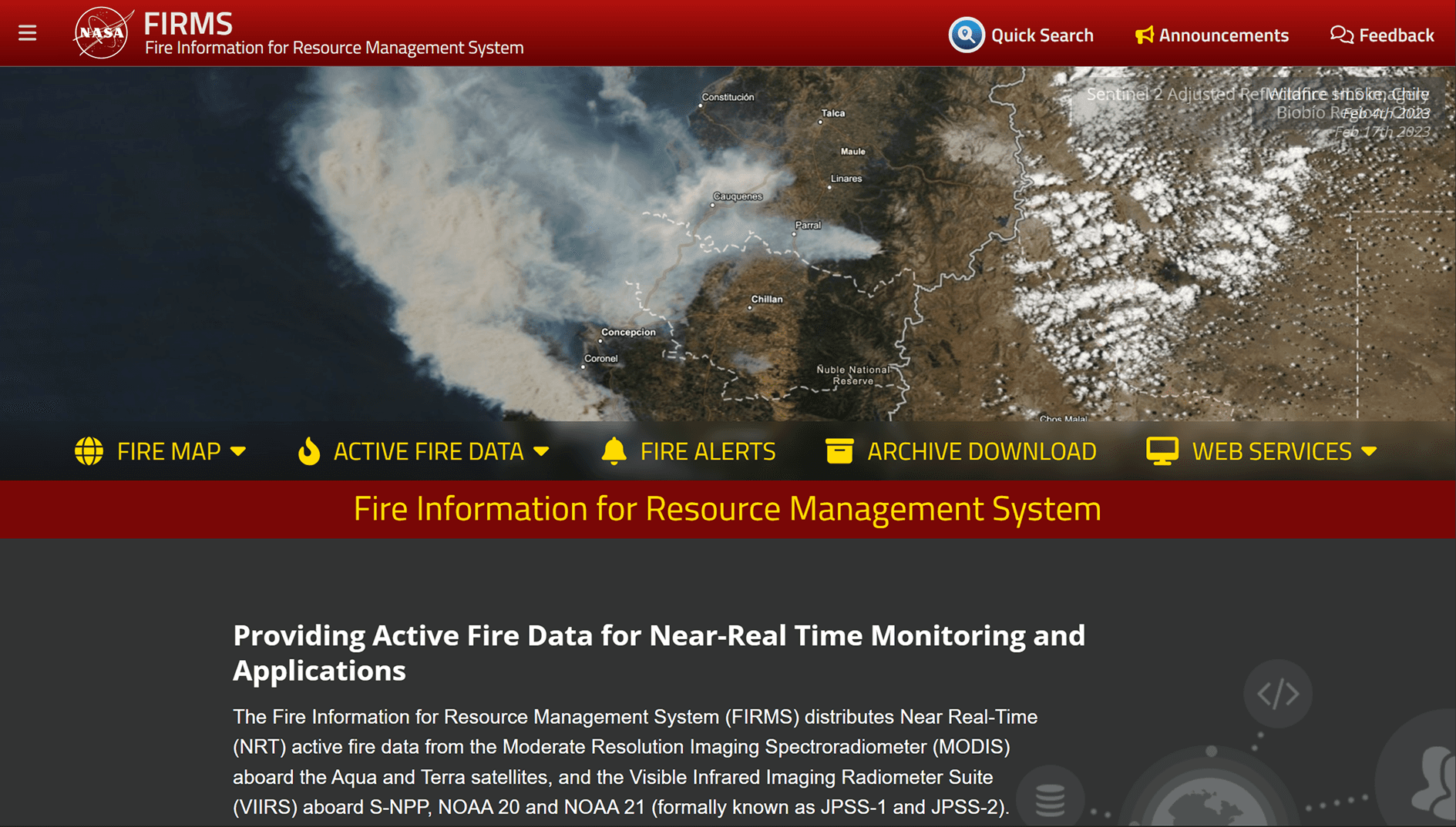
Real-time data is especially important during emergencies. For example, the NASA FIRMS system publishes information on thermal anomalies and wildfires detected by the MODIS and VIIRS satellites. This data helps quickly identify fire sources and assess their extent.
Seismic Monitoring
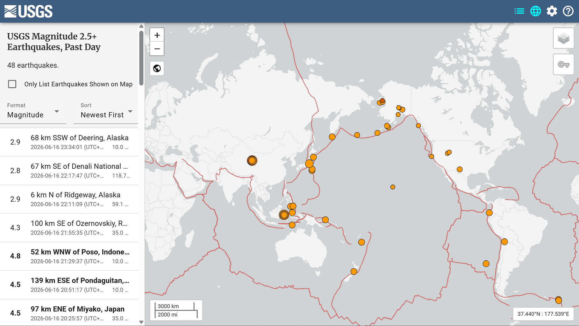
GIS are also used to display earthquake data.
The USGS Earthquake Map service displays registered seismic events almost immediately after their detection, allowing for monitoring activity in various regions of the world.
Popular Real-Time Data Sources
To create GIS projects, you can use open services and APIs that provide real-time data
Source | Data Type |
Aircraft tracking | |
Vessel tracking | |
Weather data | |
Fire monitoring | |
Earthquake data | |
Air quality data |
Using such services allows you to quickly create thematic maps and dashboards without having to collect data yourself.
How real-time data is used in GISCARTA
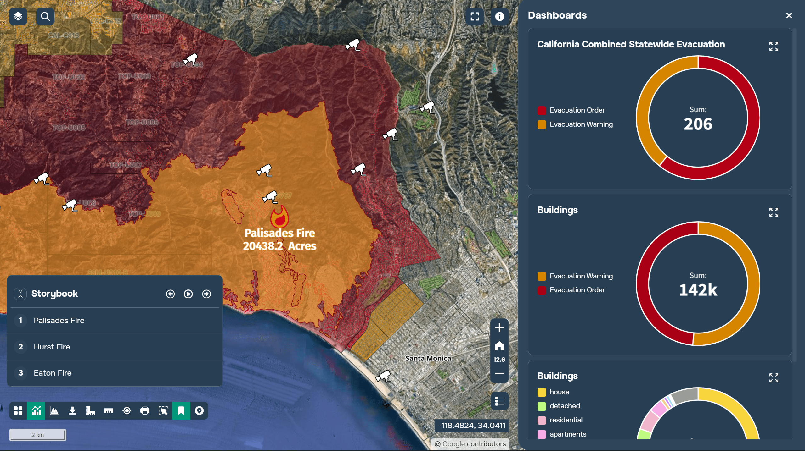
A case study of using real-time data from Los Angeles cameras on the GISCARTA platform during a fire in 2025.
Benefits of using real-time data
Using operational data allows you to:
quickly respond to changes in the situation;
automate monitoring processes;
reduce the number of manual operations;
increase the accuracy of decisions made;
get an up-to-date picture of what is happening in the territory.
Therefore, real-time data is becoming an important element of modern GIS projects, regardless of the industry and the scale of the task.
FAQ
What counts as real-time data?
This is data that is automatically updated with minimal delay after it is received by the source.
What data is most often displayed in real time?
Transport, weather conditions, sensor indicators, satellite observations, fires and emergencies.
Is it possible to connect external services to GISCARTA?
Yes. The platform supports integration with APIs, sensors, databases and other external data sources.
Key Takeaways
Real-time data allows you to track changes almost as soon as they occur.
The most popular examples are transport monitoring, weather services, satellite data and environmental observations.
GISCARTA supports connecting external data sources to create operational maps and analytical dashboards.



