Free · No sign-up · Files stay on your device

Free · No sign-up · Files stay on your device

Convert DXF to KML online

Turn CAD drawings into a KML file that opens in Google Earth. Free, private and processed right in your browser.

Processed in your browserConverts in secondsNo account needed

How it works

How it works

How to convert DXF to KML

Three steps, no software to install. Works on Windows, macOS, Linux and mobile.

01

Upload your DXF file

Drop a .dxf file into the converter, or click to browse. Files up to 100 MB are supported.

02

Convert in your browser

Click Convert to KML. The file is processed locally, so your data is never uploaded to a server.

03

Download your KML file

The KML file downloads straight to your device. Need another format? Pick a converter below.

Beyond conversion

Beyond conversion

A file is a start. A map tells the story.

Converted your DXF file? Upload it to GISCARTA and turn it into an interactive map your team or clients can actually use.

Every layer, styled your way

Colour by attribute, cluster thousands of points, switch on 3D.

Dashboards with live charts

Charts and key numbers next to the map, updated as you filter.

Timeslider for change over time

Animate dated features and compare how places change.

Share with a link or embed

Publish a read-only map, embed it on your site, or keep it private with role-based access.

No credit card. No GIS degree. Upload your data and start mapping in minutes.

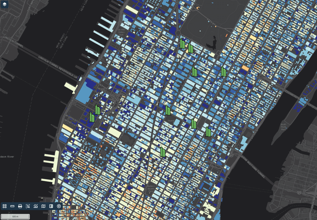
GISCARTA interactive map with layers and dashboards

Know your formats

Know your formats

DXF vs KML: what changes when you convert

DXF is built for exchange with AutoCAD and engineering tools. KML is built for viewing and sharing in Google Earth.

DXF

What is a DXF file?

DXF (Drawing Exchange Format) is Autodesk's open format for sharing CAD drawings, introduced with AutoCAD in 1982. It stores lines, polylines, arcs, text and blocks organised in layers.

DXF is the bridge between GIS and engineering teams. It carries geometry well, but attribute tables and coordinate system information are usually lost or limited.

KML

What is a KML file?

KML (Keyhole Markup Language) is an XML format created for Google Earth and adopted as an OGC standard in 2008. It stores placemarks, paths and polygons together with their styles and descriptions.

KML is the easiest way to show geographic data to people who don't use GIS software, but it is built for display rather than analysis.

DXF

DXF

KML

KML

Structure

Structure

Text-based CAD drawing

Text-based CAD drawing

XML text file

XML text file

Best for

Best for

Exchange with AutoCAD and engineering tools

Exchange with AutoCAD and engineering tools

Viewing and sharing in Google Earth

Viewing and sharing in Google Earth

Geometry

Geometry

Lines, polylines, arcs, points, text, blocks

Lines, polylines, arcs, points, text, blocks

Points, lines, polygons, organised in folders

Points, lines, polygons, organised in folders

Attributes

Attributes

Mostly layer names; little attribute data

Mostly layer names; little attribute data

Name, description and extended data

Name, description and extended data

Coordinate system

Coordinate system

Not stored in the file

Not stored in the file

WGS84 only

WGS84 only

Opens in

Opens in

AutoCAD, BricsCAD, LibreCAD, MicroStation, QGIS

AutoCAD, BricsCAD, LibreCAD, MicroStation, QGIS

Google Earth, Google My Maps, QGIS, ArcGIS

Google Earth, Google My Maps, QGIS, ArcGIS

What to know before converting DXF to KML

Your DXF file

DXF files don't record a coordinate system, so you may need to assign the right one after conversion. Text and blocks may not become standard map features.

The KML output

KML only supports WGS84, so coordinates are written as longitude/latitude.

Privacy

Your file never leaves your device: conversion runs in your browser, for files up to 100 MB.

Use cases

Use cases

Why convert DXF to KML

Show it in Google Earth

Show it in Google Earth

Let clients and colleagues explore DXF data in Google Earth — no GIS skills needed.

Share with Google My Maps

Share with Google My Maps

Import the file into Google My Maps to annotate it and share a link.

Present to stakeholders

Present to stakeholders

Turn DXF data into a clear, styled visual for meetings and reports.

Free GIS file converters

Free GIS file converters

Convert between 12 GIS formats

Every converter runs in your browser and keeps your files on your device.

All converters

Start making and sharing maps and dashboards now

Upload your data — GISCARTA turns it into interactive maps and dashboards in minutes.

No credit card. No GIS degree.

Start making and sharing maps and dashboards now

Upload your data — GISCARTA turns it into interactive maps and dashboards in minutes.

No credit card. No GIS degree.