The user can also upload data from external sources. Currently, these can be layers published on GeoServer or ArcGIS Server, or any WMS or WMTS service. The data will be displayed on the map as a WMS or vector layer.
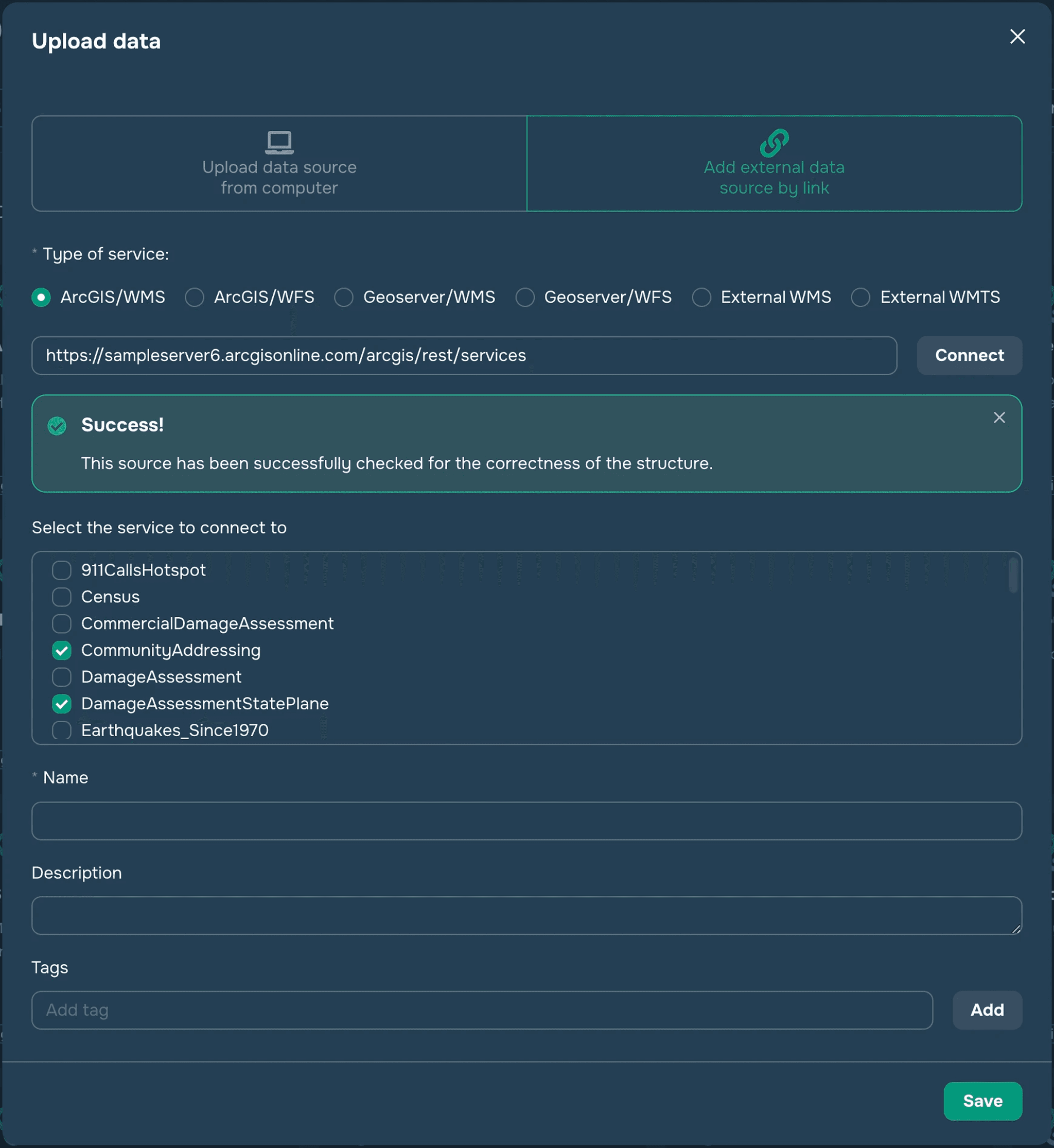
To connect an external data source, you need to first select the appropriate type of service: GeoServer or ArcGIS Server, then enter a link that leads to a list of services, for example:
https://sampleserver6.arcgisonline.com/arcgis/rest/services/ – for ArcGIS Server
https://mrdata.usgs.gov/services/ofr20051294/ – for GeoServer
Next, you need to click on the Connect button to connect to this resource and get a list of available services. After receiving the list of layers, you need to select those that will be saved in the data source (this can be one or more layers).
Next, you need to specify a name, description, and tags for the new data source and click the Save button.
Now this source will be available for adding to the map as a WMS or vector layer.